



Page 52 of 585
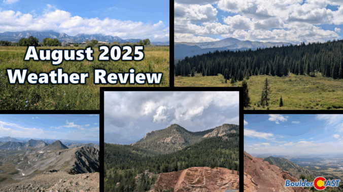
August 2025 was on track to be our third scorcher in a row — hot, dry, and smoky — until a late-month shift brought in a welcome stretch of cooler, wetter weather. That pattern change helped balance things out across the Front Range, with most areas landing close to average for rainfall and just slightly warmer than normal overall. Still, it wasn’t all relief: the month packed in plenty of wildfire smoke and a few record-breaking heat days that served to remind us that summer wasn’t done yet. Here’s a quick and colorful graphical recap of our weather during August and how it relates to climatology.
NOTE: This monthly recap was delayed due to missing data in the August 2025 climate record for Boulder which has since been partially filled with best-guess approximations.

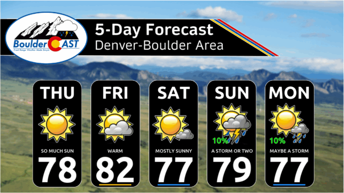
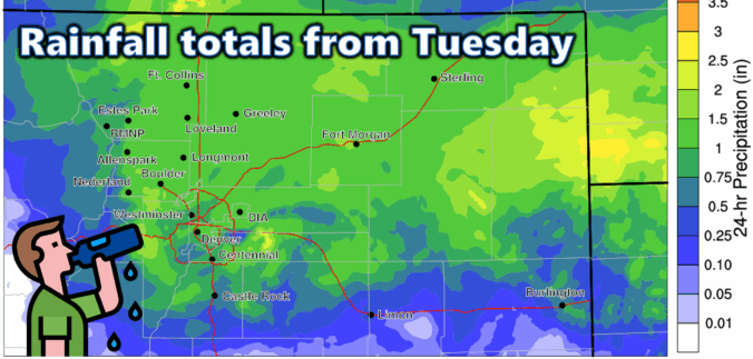
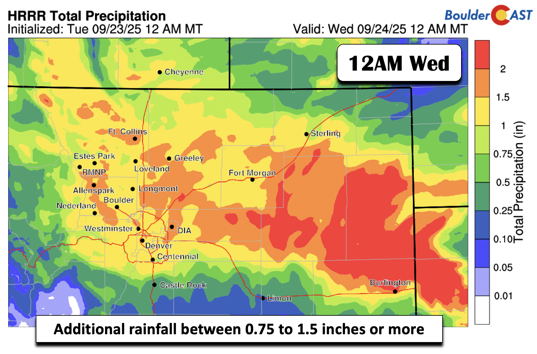
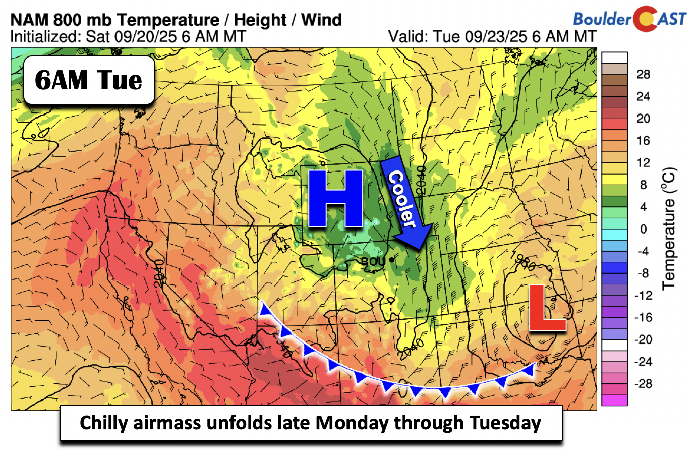
This week’s weather kicks off with a dramatic autumn shift—widespread rain, clouds, and a serious temperature drop that will bring snow to the High Country. A strong cold front and upper-level system will make Tuesday feel more like late October, with highs stuck in the lower 50s. But don’t worry, sunshine and warmth are on the horizon again. By midweek, we’ll rebound into the 60s and maybe even flirt with 80 by Friday. Curious about how much soaking rain we’ll get—or where that snow might land? Read on for all the details.

Live View of Boulder

Current Conditions

Live Radar

Latest Smoke Forecast

Recent Premium Posts

BoulderCAST Daily – Sun 09/27/26 | A Mild Sunday, Followed by Wet Weather This Week
☀️ Mild Sunday — Highs well into the lower 80s with a few …
BoulderCAST Daily – Sat 09/26/26 | Quiet Weather, But Wet Weather Is Brewing Next Week Tied To A Tropical System
☀️ Weekend calm — Weather is quiet this weekend in the lower 80s …
BoulderCAST Daily – Fri 09/25/26 | A Stormy Friday, Followed by a Quiet Weekend
🌧️ Friday storms — Another wave brings afternoon scattered showers and storms ☀️ …
3-Day Forecast

Trending Content



© 2026 Front Range Weather, LLC