



Page 39 of 585
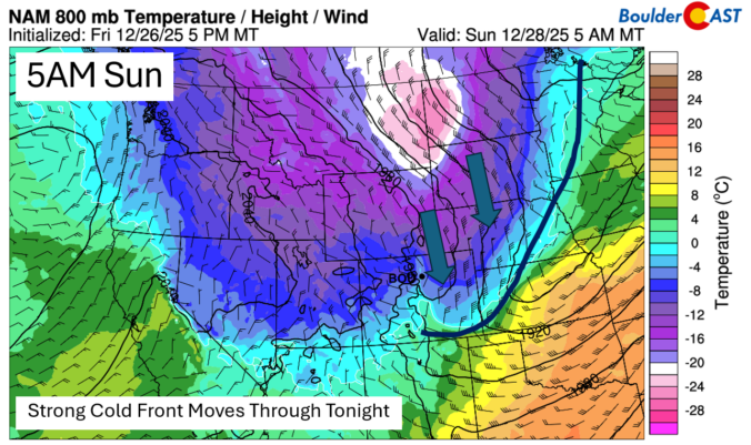
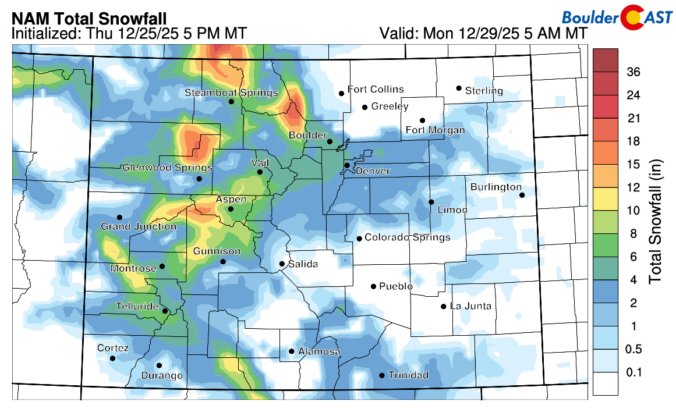
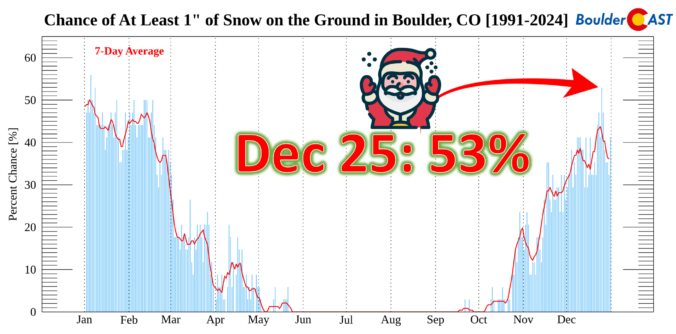
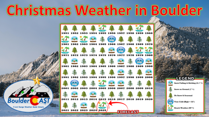
This Christmas will be a scorcher across the Front Range with temperatures soaring towards record highs near 70 degrees, but snow is often part of the equation here on Christmas, whether falling or on the ground. We take a broader look at White Christmas occurrences in Boulder’s historical record and discuss why Christmas Day, out of all days, has one of the highest probabilities of snow on the ground here.
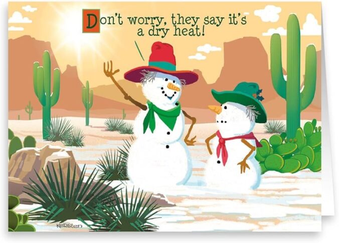
December has been anything but typical along the Front Range, with Boulder shattering warmth records and enduring weeks of bone‑dry weather that have fueled fire danger and stressed our local trees. As we head into Christmas, the holiday will feel more like patio season than sledding weather, with record highs likely and no snow available outside of the Mountains. But don’t pack away the winter gear just yet—a sharp cooldown and even a chance for light snow are on the horizon this weekend. We take a closer look this historically warm and dry December, the scorching Christmas forecast, and peek ahead to what’s next.
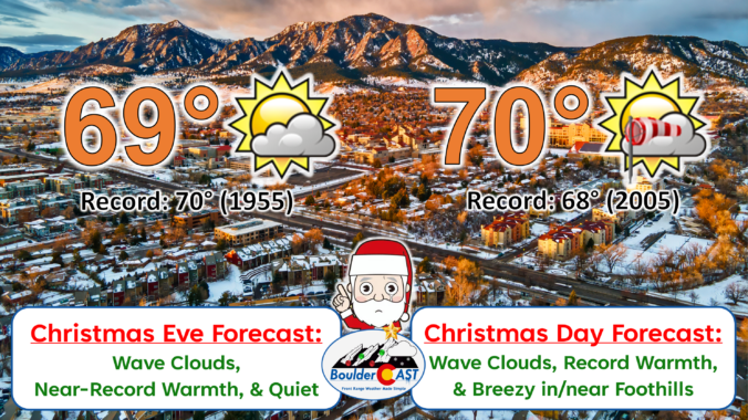
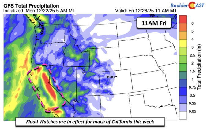
As we head into what’s normally the coldest stretch of the year along the Front Range, the atmosphere has other plans. Instead of Arctic air and snow globe conditions, we’re staring down a week of springlike warmth, fire weather concerns, and multiple shots at breaking long‑standing temperature records—including on Christmas Day. We’ll walk you through why this pattern is so unusual, what it means for Boulder and the Foothills, and where you can still find real winter this week if you’re craving it.

Live View of Boulder

Current Conditions

Live Radar

Latest Smoke Forecast

Recent Premium Posts

BoulderCAST Daily – Sun 09/27/26 | A Mild Sunday, Followed by Wet Weather This Week
☀️ Mild Sunday — Highs well into the lower 80s with a few …
BoulderCAST Daily – Sat 09/26/26 | Quiet Weather, But Wet Weather Is Brewing Next Week Tied To A Tropical System
☀️ Weekend calm — Weather is quiet this weekend in the lower 80s …
BoulderCAST Daily – Fri 09/25/26 | A Stormy Friday, Followed by a Quiet Weekend
🌧️ Friday storms — Another wave brings afternoon scattered showers and storms ☀️ …
3-Day Forecast

Trending Content



© 2026 Front Range Weather, LLC