



Page 29 of 584
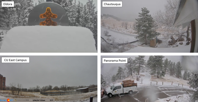
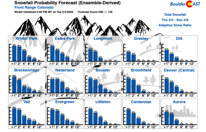
A quick shot of winter weather is finally lining up for the Front Range, and this one has just enough cold air, upslope, and atmospheric ingredients to make things interesting. After weeks (months?) of springlike warmth and storms that couldn’t quite commit to generating lower elevation snow, this late‑week system is poised to break that streak—though not without a few twists. We discuss who is likely to get the most accumulation of wet snow, who gets skunked by downslope, and how fast we’ll bounce right back to sunshine and 60s once the flakes stop flying.
UPDATE (Friday 3/6/26 8:00AM): The majority of models have slowed our storm down allowing for a longer period of ideal snow ingredients to linger over the Front Range on Friday when moderate snow bands will impact the area. Snow amounts have been increased a tad regionwide, with slushy roads now favored for the lower elevations, and difficult travel in the Mountains/Foothills. Snow will continue all day Friday before tapering off Friday evening. Temperatures near and slightly above freezing will allow for a lot of melting. We discuss the changes to the forecast and the latest developments in Friday’s Premium Storm Update HERE.
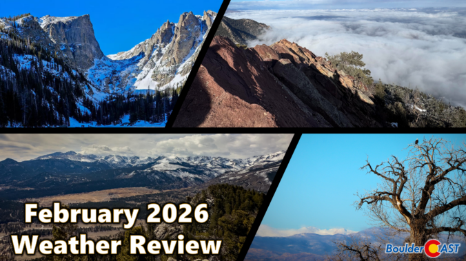
February 2026 ran exceptionally warm, dry, and almost snowless across the Front Range—another month that felt more like an early spring preview than the heart of winter. Warm spells were frequent, with multiple days soaring into the 60s and even low 70s, while true winter cold was only brief and muted. February was a month defined by sunshine, downslope winds, fire danger, and a striking lack of moisture. It was officially Boulders 3rd warmest and 9th driest February on record. Here’s a quick and colorful graphical recap of our weather during February and how it relates to climatology.
*Premium* BoulderCAST Daily – Wed 03/04/26 | A pair of gorgeous days preceding a cold & snowy Friday
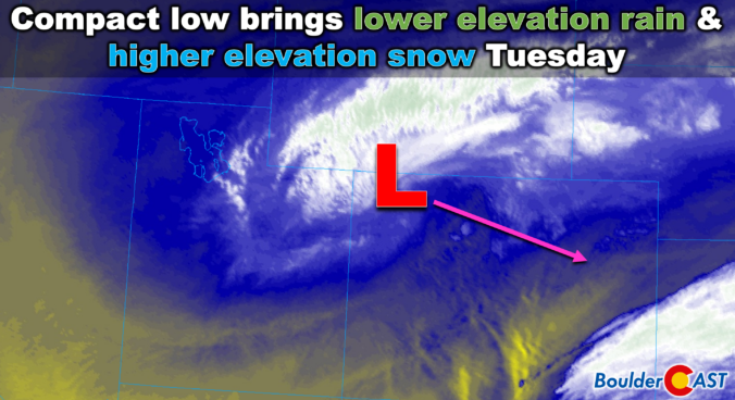
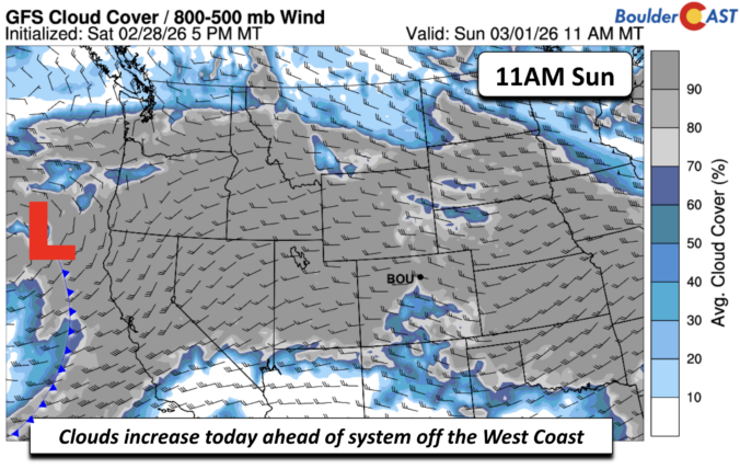
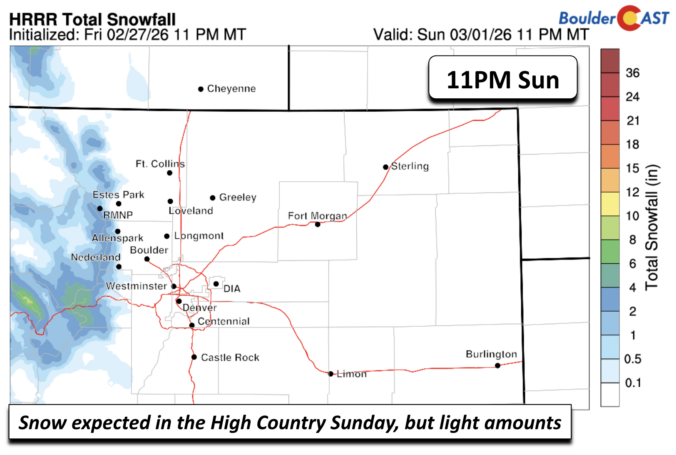
Meteorological winter wrapped up in the most 2025–26 way possible: not with snow, but with a wildfire at the base of the Flatirons—an unsettling bookend to what has been Boulder’s warmest winter on record by a wide margin. This week keeps the volatility going, with a near‑record warm Monday, a sharp cool‑down and rain on Tuesday, and a second late‑week system that could bring snow for everyone depending on how the trough organizes. It’s a classic early‑March pattern with warm spells, cold fronts, and plenty of uncertainty. Read on as we break down what to expect throughout the highly variable week of weather ahead in the Front Range.

Live View of Boulder

Current Conditions

Live Radar

Latest Smoke Forecast

Recent Premium Posts

BoulderCAST Daily – Sun 09/27/26 | A Mild Sunday, Followed by Wet Weather This Week
☀️ Mild Sunday — Highs well into the lower 80s with a few …
BoulderCAST Daily – Sat 09/26/26 | Quiet Weather, But Wet Weather Is Brewing Next Week Tied To A Tropical System
☀️ Weekend calm — Weather is quiet this weekend in the lower 80s …
BoulderCAST Daily – Fri 09/25/26 | A Stormy Friday, Followed by a Quiet Weekend
🌧️ Friday storms — Another wave brings afternoon scattered showers and storms ☀️ …
3-Day Forecast

Trending Content



© 2026 Front Range Weather, LLC