



Page 238 of 586
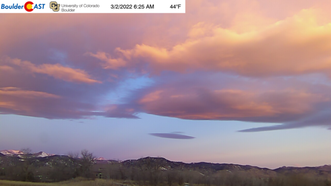
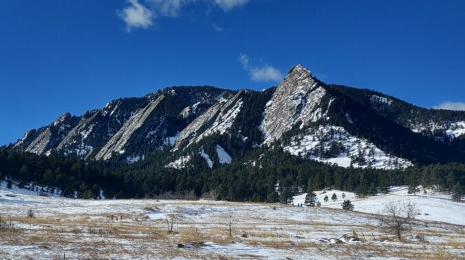
February picked up up right where January left off with a flurry of snowfall! February 2022 was the 3rd snowiest and 4th wettest on record in Boulder — just what we needed to help with the ongoing severe drought. Here’s a quick and colorful graphical recap of our weather during February and how it relates to climatology.
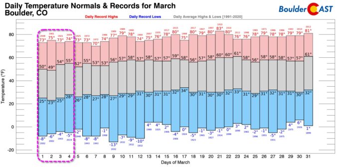
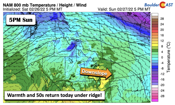
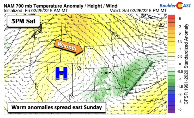
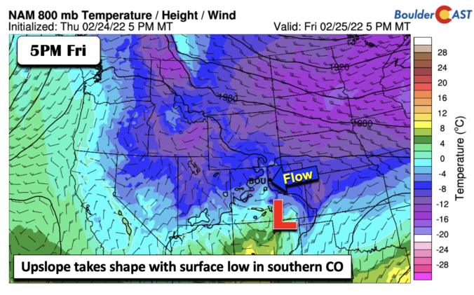
If last week was considered the winter deep freeze, this week shall be the spring thaw! The main story for the majority of the week ahead will be above normal high temperatures and dry conditions under a strong mid-level ridge of high pressure. A storm system moving onshore along the West Coast on Thursday will return our area to a more unsettled pattern late Friday into the weekend, along with a likelihood of snow and colder air filtering in. Read on for more details.


Live View of Boulder

Current Conditions

Live Radar

Latest Smoke Forecast

Recent Premium Posts

BoulderCAST Daily – Fri 10/09/26 | Mild and Quiet Weather Through the Weekend
🔥 Record October heat: Highs may approach record highs today in the middle …
This Weekend in Colorado Weather: 80s Continue With a Big Western Storm Brewing, But Colorado’s Role Next Week Remains Unclear
🌤️ Summer Preview Continues: Warm and dry weather hangs on through the weekend …
BoulderCAST Daily – Wed 10/07/26 | Colorado Remains Stuck in a Remarkably Warm October Pattern
🔥 Record October heat: Boulder hit a record 89° on Tuesday, Denver tied …
3-Day Forecast

Trending Content



© 2026 Front Range Weather, LLC
You must be logged in to post a comment.