



Page 116 of 585
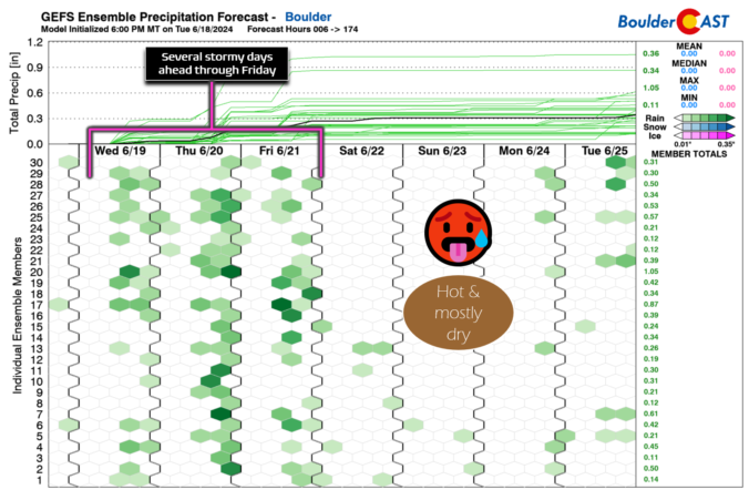
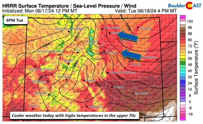
This week in the Front Range will feature a rollercoaster ride of temperatures from 90s to the 70s and back again! There will also be increasing rainfall chances for the mid to late-week period as remnant moisture arrives from a tropical system in the Gulf of Mexico — this is not the beginning of our seasonal monsoon just yet. Temperatures will slowly ramp up back into the 90s for the upcoming weekend. Read on for more details.
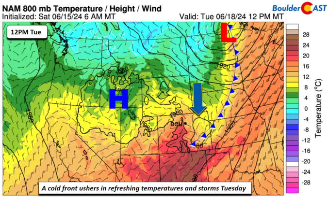
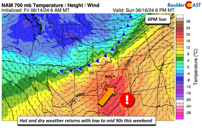
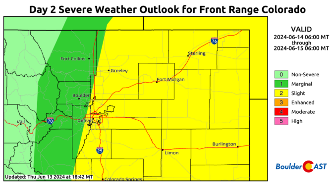
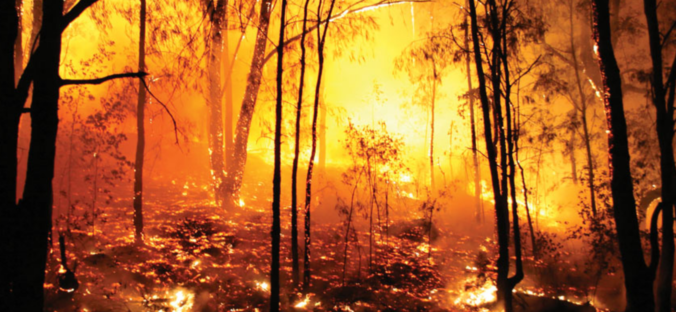
As the Front Range races towards near-record high temperatures on Thursday, the weather pattern is evolving to offer a short-lived reprieve on Friday with a chance of severe thunderstorms and cooler temperatures accompanied by well-mixed smoke blowing in from Mexico. While the blistering heat will ramp back up again over the weekend, we are tracking a potential dip towards more comfortable temperatures next week. Here’s the latest!
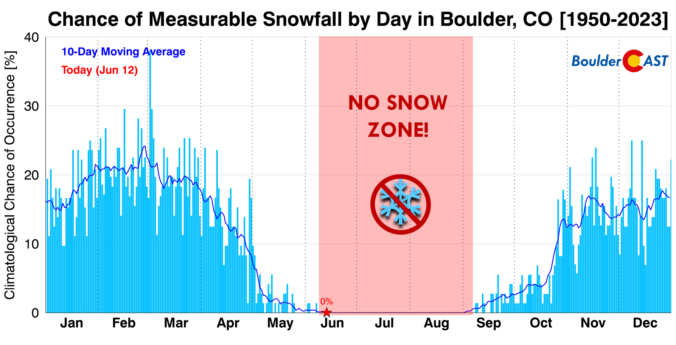

Live View of Boulder

Current Conditions

Live Radar

Latest Smoke Forecast

Recent Premium Posts

BoulderCAST Daily – Fri 10/02/26 | A Mild Weekend Across the Front Range
☀️ Quiet and dry weather: A ridge of high pressure will promote dry …
This Weekend in Colorado Weather: Autumn on Hold as Warm, Dry Pattern Dominates Early October
🌧️ Southern Colorado drenched, Front Range bone‑dry: The upper‑low parked in SE Colorado …
BoulderCAST Daily – Sun 09/27/26 | A Mild Sunday, Followed by Wet Weather This Week
☀️ Mild Sunday — Highs well into the lower 80s with a few …
3-Day Forecast

Trending Content



© 2026 Front Range Weather, LLC