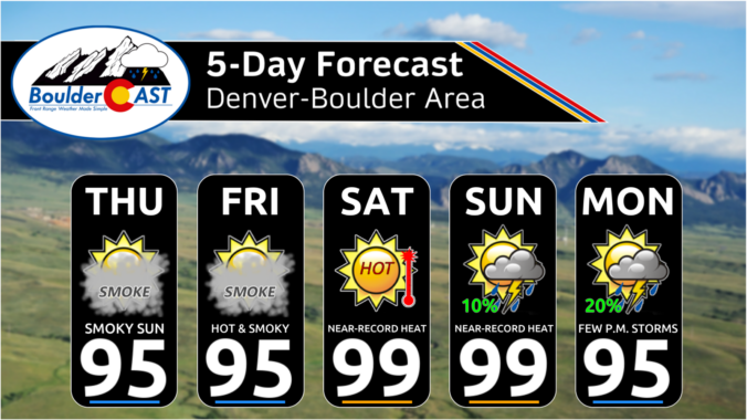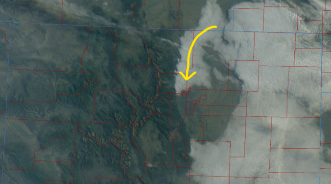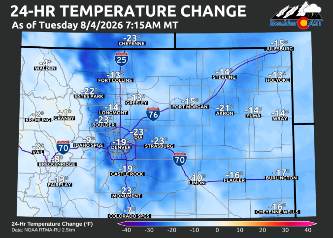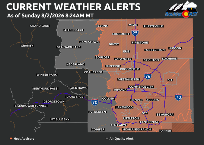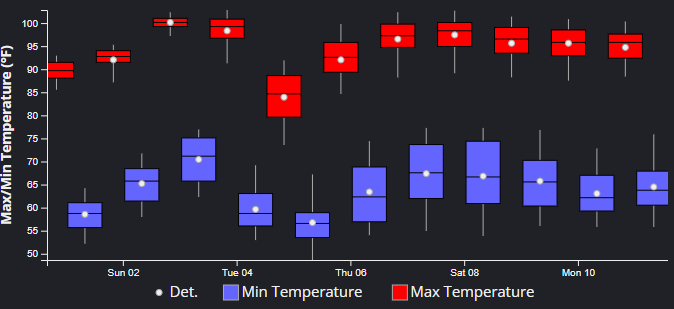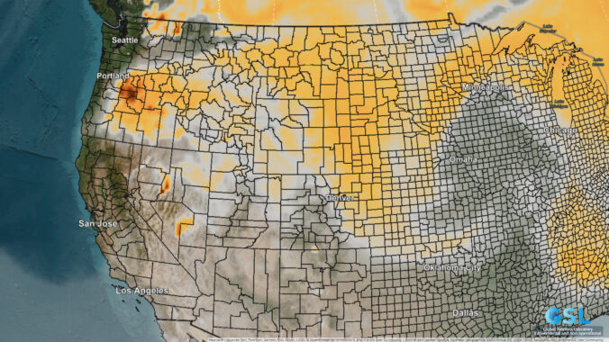
July 2026 along the Front Range was relentlessly hot, dry, and devoid of storms, dominated by stubborn upper‑level ridging that fueled long, punishing heatwaves and pushed Denver and Boulder into one of their hottest months on record. Occasional pulses of monsoonal moisture did break through, producing slow‑moving thunderstorms and localized flash flooding near vulnerable burn scars, while wildfire smoke from the West periodically dimmed skies and degraded air quality early in the month. With meaningful rainfall largely absent, Colorado’s severe drought deepened, cementing a July defined far more by heat and haze than by the usual rhythm of afternoon thunderstorms.
Here’s a graphical look at how July 2026 unfolded across Boulder, Denver, and the Front Range — and how it compared to climatology.