Bundle up and brace for an eventful week of fall weather across the Front Range as temperatures turn colder! Gusty winds and even a few thundershowers on Monday will precede a frontal boundary set to bring the season’s coldest air yet. Read on for all the details of the week ahead, including a discussion of nightly hard freezes, the Halloween forecast, and a weekend warm-up that might just make you forget it’s the start of November…
Category: Winter Weather (Page 5 of 134)
These posts contain some discussion of the white stuff, whether it be mountain snow pack or a Front Range snowstorm.
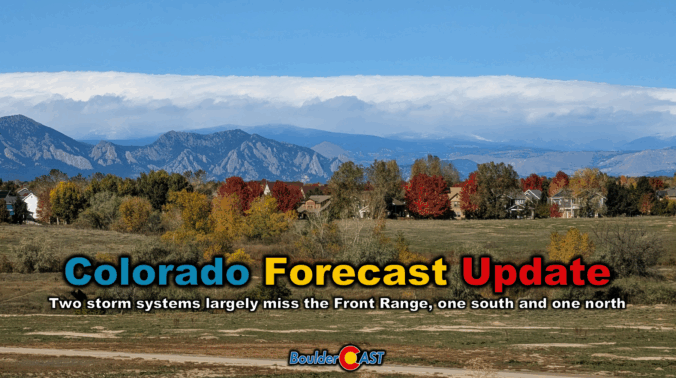
Colorado Forecast Update: Two underwhelming storm systems approach with fire danger increasing into early next week
Clouds roll in Thursday as a compact storm system approaches from the southwest—but don’t expect much more than a few sprinkles and high mountain snow. Boulder and Denver stay mostly dry, with mild temps in the 60s and a sunnier stretch ahead for Friday and Saturday. A stronger trough will arrive Sunday into early next week, bringing gusty winds and a taste of cooler fall air, but once again little in the way of meaningful rain or snow east of the Mountains. Read on for all the details.
This week’s forecast is anything but boring in the Front Range. A fast-moving autumn storm is stirring up the atmosphere on Monday with jet-driven Mountain snow, powerful downslope winds, and a fire-weather setup that demands caution. And once the winds die down? A hard freeze will slam the door on the growing season for the entire area Monday night. Read on for a full breakdown of the very active weather unfolding in Colorado on Monday, plus a peek towards the quieter days ahead.
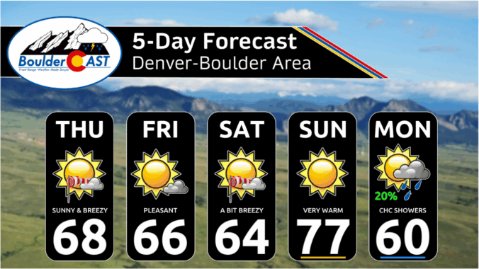
*Premium* This Weekend in Colorado Weather: Sunny & dry with occasional breezes through Sunday, our next storm arrives Monday
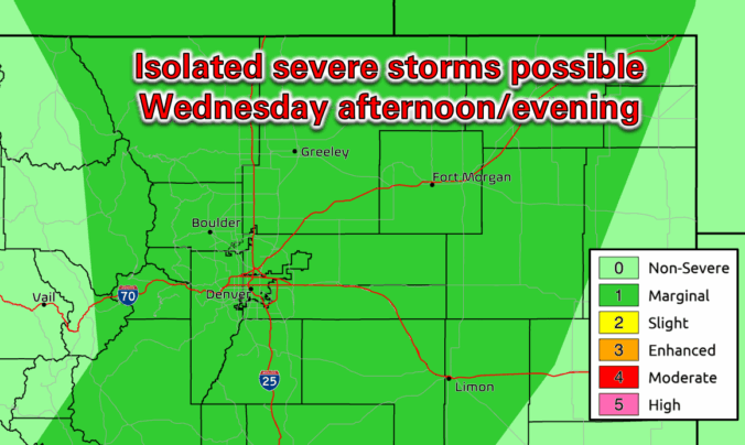
*Premium* BoulderCAST Daily – Wed 10/15/25 | Warm with a slight chance of rare October thunderstorms; cooler and gusty tomorrow
This week will feature a dynamic stretch of autumn weather in the Front Range including dramatic temperature swings, another influx of tropical moisture, and a midweek warm surge that could push us near 80°F. Following all of that, a late-week trough will bring a chilly front and our best shot at rain, plus there’s a weekend wildcard that might even produce some snow. Curious what’s driving all this weather? We break down the atmospheric setup, moisture sources, and ensemble model data in our latest weekly outlook.
11th Annual BoulderCAST First Snowfall Contest
Ready to toss that first snowball of the season? Maybe you’ve already waxed your skis, shelled out for that pricey Epic Pass, or jumped the gun on snow tires (again). Well, hold onto your mittens—Boulder’s first big snow could be just around the corner, or not! Mother Nature has been playing tricks on us lately. In the past five years alone, we’ve seen both the earliest and latest first snows on record. But, what will 2025 bring? That’s where you come in.
We’re kicking off our annual First Snow Contest! Please take a look at Boulder’s snowfall history within, then submit your best guess for when the first measurable snow (≥0.1″) will fall in Boulder—and how much will accumulate. The closest guesses will win a selection of prizes!
*This contest is now closed to entries*
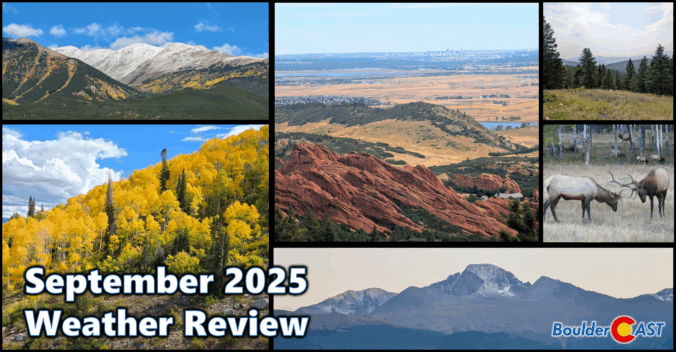
September 2025 Graphical Weather Review: A pleasant transition into autumn with just enough rain to stave off drought
September 2025 brought a classic Colorado blend to Boulder and the Front Range: near-normal temps, wetter-than-average skies, and a lively mix of sunshine and storms. A standout precipitation event around the 23rd delivered soaking rain in the lowlands and the first real coating of snow to the Mountains. The month eased us gently into autumn, with crisp mornings, comfortable afternoons, and brilliant foliage lighting up the higher terrain. And yes—who could forget that dramatic wave of Canadian wildfire smoke that swept through, reminding us how connected we are to the broader arid landscape of western North America. Here’s a quick and colorful graphical recap of our weather during September and how it relates to climatology.
© 2026 Front Range Weather, LLC

