As we rapidly approach the holiday season, the Front Range continues to experience unseasonably warm and dry conditions. This past weekend brought beautiful weather with temperatures warming into the 50s, accompanied by strong downslope winds at times. Looking ahead, the forecast remains mostly quiet with high pressure dominating the central Rockies, including Colorado. While a few bouts of wind are expected this week, precipitation will be nearly non-existent over the next seven to ten days, making a white Christmas highly unlikely for the Denver-Boulder area.
Category: Winter Weather (Page 16 of 134)
These posts contain some discussion of the white stuff, whether it be mountain snow pack or a Front Range snowstorm.
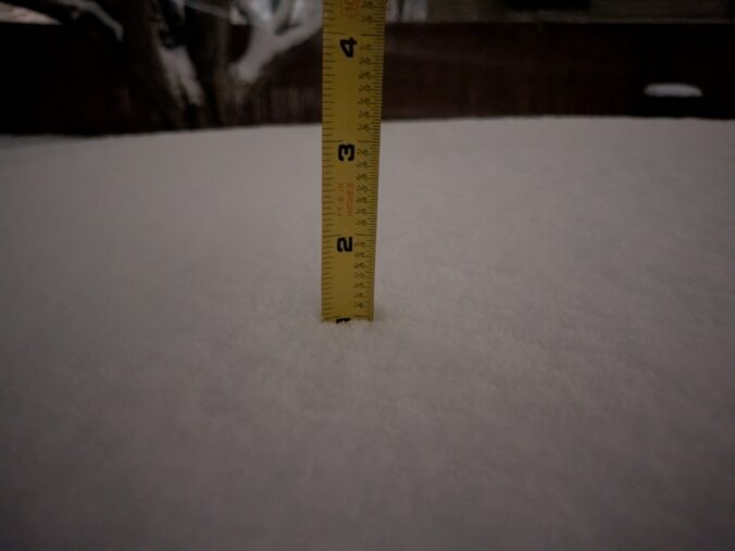
A short-lived period of light to moderate snowfall accompanied the passage of a quick-moving shortwave disturbance Monday evening, mostly impacting the southern and western Metro area. We briefly review the snowfall totals across the region.
The primary weather impacts to the Front Range this week will occur on Monday. However, those impacts will be fairly limited, with the most noticeable change being much colder temperatures in the 30s for highs. The chilly weather continues into Tuesday, but milder readings will return by midweek. We are watching a late-week storm system but it currently looks to track through the area mostly dry. Read on for more details
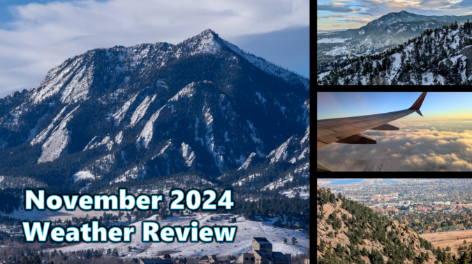
November 2024 was exceptionally moist across most of eastern Colorado, with some locations nabbing their wettest November on record. In Boulder, we received a respectable 2.64″ of moisture, good enough for 4th all-time since the late 1800s. While there is certainty still more work to do, the widespread wet weather allowed for modest drought improvement across much of the state. Despite a late and lackluster start to the snow season, Boulder and Denver have both surged above normal season-to-date. Here’s a quick and colorful graphical recap of our weather during November and how it relates to climatology.
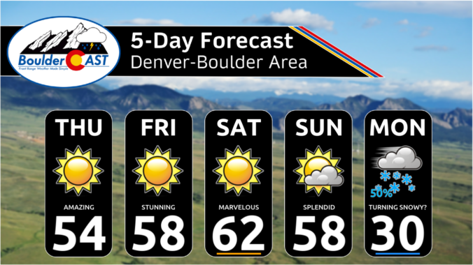
As we step into the first week of meteorological winter, the Front Range will feel like anything but. This week will feature pleasant weather thanks to a persistent and strong ridge along the West Coast. While the primary storm track remains off to the east, Colorado will enjoy above normal temperatures and dry conditions, day in and day out. Read on for all the details.

A midweek winter storm brought light accumulating snow to the Denver Metro area on the Wednesday before Thanksgiving, with considerably more powder piling up in the Mountains. We briefly review the snow totals across the Front Range.

Live View of Boulder

Current Conditions

Live Radar

Recent Premium Posts

BoulderCAST Daily – Sun 01/11/26 | A mild Sunday with readings reaching the 50s
🌤️ Mild & Melty Sunday: Light winds and patchy clouds, with lingering snowpack …
BoulderCAST Daily – Sat 01/10/26| Widespread sunshine and moderating temperatures this weekend as our recent snow melts off
🌤️ Calm Saturday: Winter storm systems have departed the state, leaving behind a …
BoulderCAST Daily – Fri 01/09/26| Snow ends quickly this morning with a quieter weekend in store
❄️ Overnight snow bands: A second push of upslope after midnight sparked narrow …
3-Day Forecast

Trending Content

© 2026 Front Range Weather, LLC