
Warmer temperatures are in the forecast today with a chance of rain. We talk potential snow amounts for the storm headed our way this weekend, and touch on Hurricane Michael.
Category: Winter Weather (Page 105 of 139)
These posts contain some discussion of the white stuff, whether it be mountain snow pack or a Front Range snowstorm.
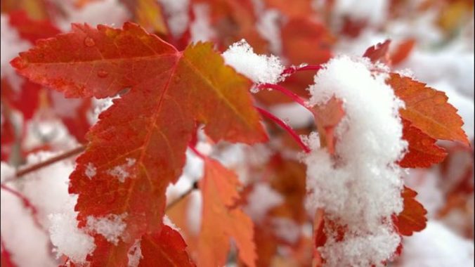
More snow is incoming as the active weather pattern for Colorado continues. We recap this week’s Columbus Day storm and discuss the snow potential today and over the upcoming weekend.

We wish there was better news, but the atmospheric pattern remains largely unchanged for the upcoming week. Thus, a chilly and unsettled stretch lies ahead. Read on for our complete forecast, which does include exactly ONE nice day.
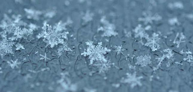
Winter is in full swing, but don’t worry, BoulderCAST has you covered. We have several important announcements related to the ongoing snowy season.
Ugly weather will linger across the Front Range through the Columbus Day holiday, including rain and what could be the first snow of the year for some cities. We detail the timing and forecast snowfall amounts for the region.
PREMIUM STORM UPDATE (Issued Mon Oct 8 at 7:00 AM): Checking in on our chances for snow. READ NOW

Have you heard? A major dip in the jet stream this weekend will lead to much cooler temperatures and snow for the northern Rockies. We discuss what this means for the Front Range. Our advice: enjoy the relatively warm temperatures while you can!

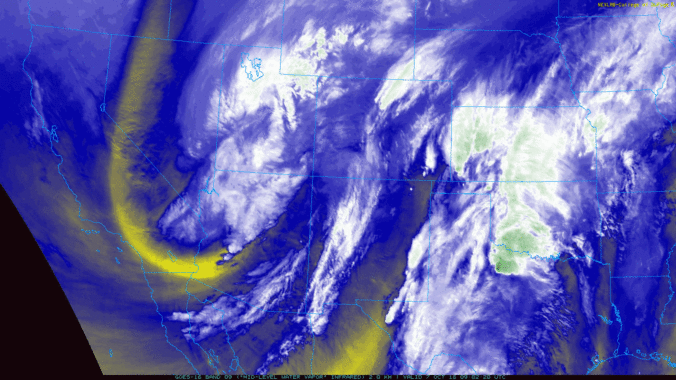
The first week of October will be busy as a series of systems trek through the state from the southwest. The first will be the remnants of Hurricane Rosa. The second will be a quick-moving cut-off system. These will lead to the chance of showers and a few thundershowers through the week. We’re also tracking unsettled weather for the weekend with both rain and snow for the state of Colorado.

Live View of Boulder

Current Conditions

Live Radar

Recent Premium Posts

BoulderCAST Daily – Fri 06/05/26 | A streak of 90s set in through the weekend
🥵 A streak of 90s today through the weekend with low to middle …
This Weekend in Colorado Weather: Early-Season Heat Ramps Up — First 90s of the Year on the Horizon
🌬️ West–northwest flow Thursday supports high‑based convection with gusts to 35 MPH; virga …
BoulderCAST Daily – Wed 06/03/26 | Scattered P.M. storms again as moisture peaks for the week
🌬️ Weak westerly flow aloft today with no major synoptic features nearby; only …
3-Day Forecast

Trending Content

© 2026 Front Range Weather, LLC