
Though the middle of June is typically a quiet time of year for the Front Range, that won’t be the case this week with widespread showers and thunderstorms to begin the week, including the threat for large hail. The rest of the week will be warmer, but not necessarily dry either.
Category: Severe Weather (Page 17 of 21)
The posts contain discussion of severe weather in our region, including forecasts, outlooks, and recaps of events involving large hail, damaging winds, and tornadoes.
A cool and dry Canadian airmass will lead to pleasant conditions for the first half of the week. However, moisture and storm chances increase by Thursday and continue right into the upcoming weekend.
A persistent and slow-moving cutoff low pressure system will lead to scattered daytime thunderstorms through Wednesday, with gradual drier and summer temperatures taking hold by the end of the week. Read on for more details.
This week’s Front Range weather headline is yet another late-season spring storm system moving directly across Colorado on Tuesday. This will lead to a couple of very chilly days and more widespread rainfall and clouds for the Metro area. We’re even still talking about snow in the Foothills just west of Boulder. While conditions will improve as the week progresses, the chance of rain remains each day. Read on for our complete forecast of the shortened work-week ahead.
Several factors are coming together this afternoon for a fairly significant severe weather outbreak. Though the focus will be well northeast of the Front Range in Nebraska and South Dakota, storms that develop this afternoon and evening across the Metro area will have the potential to be strong and borderline severe, with hail and strong winds the main threats. We take a look at the forecast for a stormy Friday and the cooler weekend ahead.

We’ve entered the month of May and Spring is now in full-swing. We review May’s climatology and highlight a few aspects of the weather to watch in what is typically our gloomiest month of the year.
Check out seven unique graphics we created recapping 2018’s weather!
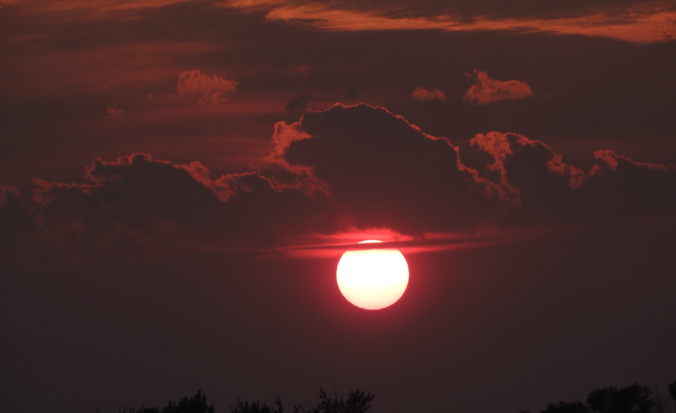
Though there is officially still about one week left in summer, meteorological summer ended last weekend. We take a look back at what ended up being a warm, monsoon-deprived summer in which severe thunderstorms lessened wildfire and drought concerns. We also congratulate the 25 winners of our 2018 Summer Heat Contest!

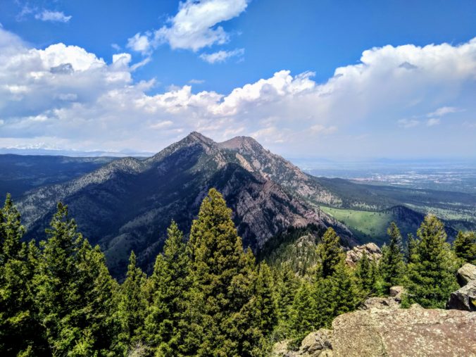
Live View of Boulder

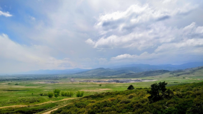
Current Conditions

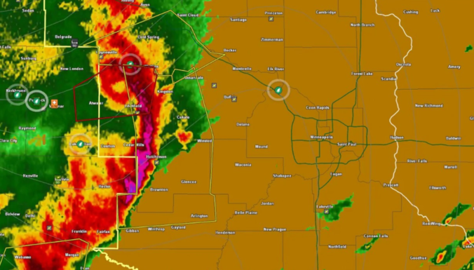
Live Radar

Recent Premium Posts

BoulderCAST Daily – Sun 05/31/26 | Dry and warm today but rain chances increase this week
🌦️ Overall dry and warm Sunday, though cannot rule out a very widely …
BoulderCAST Daily – Sat 05/30/26 | A stray shower today as most activity resides well east of Denver
🌦️ Spotty showers today, mainly well east of the Denver Metro area, where …
BoulderCAST Daily – Fri 05/29/26 | A Marginal Risk of Severe Isolated Storms
🌦️ Spotty showers this afternoon, mainly noon and 4 PM, with highs in …
3-Day Forecast

Trending Content

© 2026 Front Range Weather, LLC