
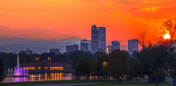
We begin the first full-week of August on the hot side but trend slightly cooler as the week wears on thanks to monsoon moisture returning back into the area from the southwest. Read on for more details.
Category: Severe Weather (Page 16 of 21)
The posts contain discussion of severe weather in our region, including forecasts, outlooks, and recaps of events involving large hail, damaging winds, and tornadoes.
The last week of July will feature very seasonal weather in the Front Range as a stationary ridge of high pressure remains across the southern Rockies. While initially suppressed, monsoon moisture will make its way back into Colorado by mid-week. As a result, hot and dry conditions will transition stormier as the week wears on.

Monsoon season has geared up across Colorado! As a result, the chance of thunderstorms will persist in our forecast throughout the week bringing the threat of heavy downpours and localized flooding at times. We also discuss a gradual warming trend with temperatures soon returning to the 90’s.
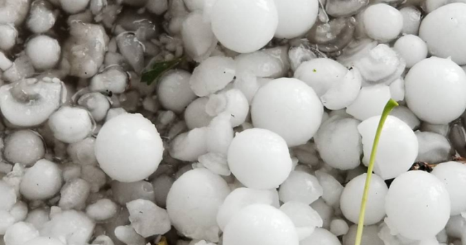
We have one more day of hail to deal with on Monday before a major pattern change curbs the threat of severe storms for the Front Range. Later in the week, a developing ridge across southern Colorado will usher in conditions very typical for July with temperatures definitely returning to the 90’s.
Get ready for round two of severe weather late Friday afternoon into the evening hours with large hail the primary threat to end the week. We also discuss the weekend forecast which includes plenty of storms and the potential for more hail.

Following a very warm end to June, the first week of July will continue the hot trend but also blend in late-day thunderstorms typical for this time of year. Read on for more details, including the outlook for the Fourth!
Following a record-setting cold weekend to kick off summer, temperatures are headed upwards with most Front Range cities likely to see a string of several 90-degree days later this week.
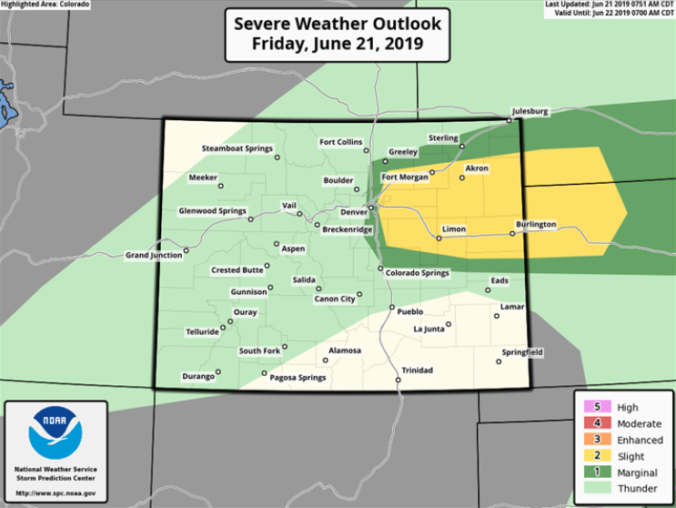
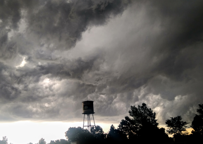
The next several days are going to be unseasonably cool and active across the Front Range. We discuss the outlook for large hail and tornadoes Friday afternoon, accumulating snow in the Mountains, the potential for flooding, and the gloomy weather sticking around for the weekend. Yes…all of that!

Live View of Boulder

Current Conditions

Live Radar

Recent Premium Posts

BoulderCAST Daily – Sun 05/31/26 | Dry and warm today but rain chances increase this week
🌦️ Overall dry and warm Sunday, though cannot rule out a very widely …
BoulderCAST Daily – Sat 05/30/26 | A stray shower today as most activity resides well east of Denver
🌦️ Spotty showers today, mainly well east of the Denver Metro area, where …
BoulderCAST Daily – Fri 05/29/26 | A Marginal Risk of Severe Isolated Storms
🌦️ Spotty showers this afternoon, mainly noon and 4 PM, with highs in …
3-Day Forecast

Trending Content

© 2026 Front Range Weather, LLC