Category: Premium Content (Page 67 of 451)

This content is for Premium Members only.
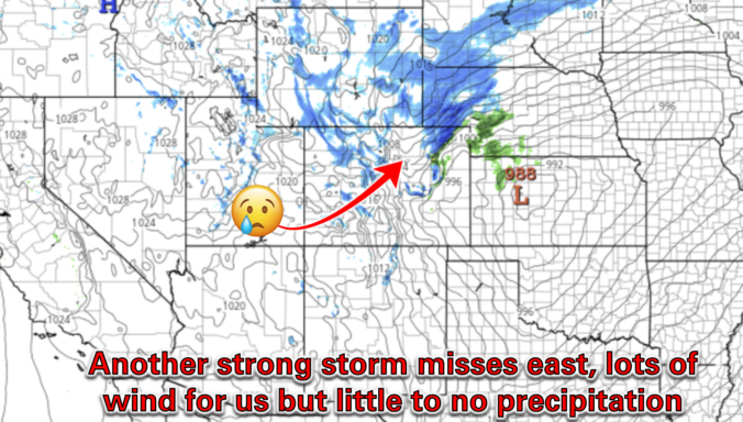
Premium BoulderCAST Daily – Tue 03/18/25 | Near-critical fire conditions ahead of an afternoon cold front, minimal precipitation chance as another storm misses east

Yesterday saw peak wind gusts over 50 MPH across much of the western Metro area, Foothills and Mountains, including multiple gusts over 80 MPH in and around Boulder County. Several power outages were noted due to the wind, as well as a lone 30-acre grass fire to the north in Larimer County which forced mandatory evacuations but was fortunately quickly …

Premium BoulderCAST Daily – Sun 03/16/25 | A 60-degree Sunday

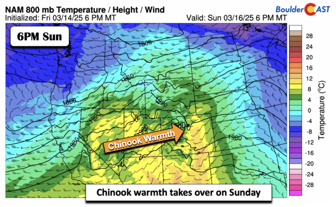
Our Sunday is going to be wonderful. High pressure ridging will build eastward from the southwest. High temperatures will reach the lower 60s over the area with lots of sunshine. Temperatures will continue to warm on Monday with low to even middle 70s as warmer air continues to spread northeastward. We continue to watch a strong cold front that will …

Premium BoulderCAST Daily – Sat 03/15/25 | A quieter weekend is in store

Our weekend turns quiet after yesterday. The trough axis slides east but we will still be under considerable high clouds. But the winds will be weaker and our highs will reach the upper 40s on most areas of the Front Range. On Sunday, ridging builds aloft and at the surface, Chinook winds will bring downslope warming. That should push our …

Premium BoulderCAST Daily – Fri 03/14/25 | A bomb storm brings strong winds today

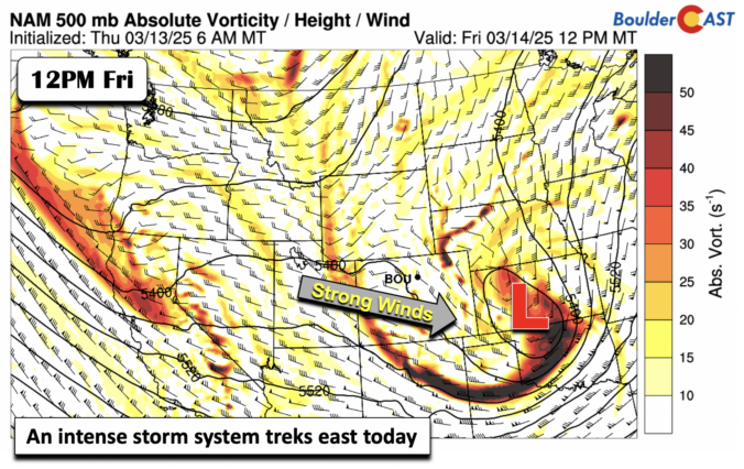
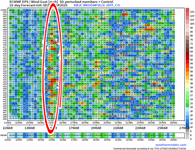
As was mentioned in our post yesterday, a bomb of a storm will trek eastward today into Kansas. In its wake, strong downslope winds will ensue across the Foothills and Front Range today. A few passing showers are also possible but this is not the main threat. As the low moves east, a tight pressure gradient and west to east …

Premium BoulderCAST Daily – Wed 03/12/25 | Quiet in the 60s through Thursday, lots of wind and a brief chance of showers on Friday

In general, it will be another warm and quiet day across the Front Range for our Wednesday. Water vapor satellite imagery from GOES-East shows a petite shortwave disturbance moving eastward through the Desert this morning with some patches of cloud cover impacting Colorado out ahead of it. Wave clouds were pretty thick yesterday in the Boulder area, especially by afternoon. …

Premium BoulderCAST Daily – Tue 03/11/25 | Warm with lots of wave clouds today, the windy storm remain on-track for Friday

All remains quiet for the next few days across the Front Range as Colorado stays under a flattened mid-level ridge. After reaching close to 70 yesterday, temperatures will be a few degrees cooler for our Tuesday with thicker (wave) cloud cover in place. We should reach the mid to upper 60s, still some 10°F above normal for mid-March. Tomorrow will …

Premium BoulderCAST Daily – Sun 03/09/25 | A Gorgeous Sunday

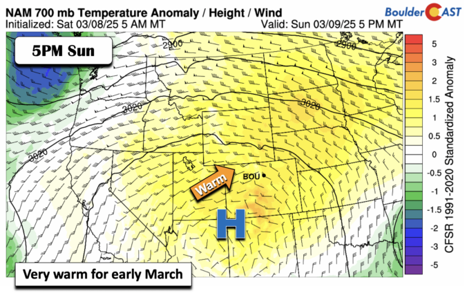
Gorgeous weather is on tap for our Sunday. Warm temperature anomalies and southwest flow will push our highs into the mid to upper 60s today. Actually, this very warm weather will be in store for much of the week, with even some 70s. The weather appears to take a change late this coming week, when models are showing a very …

« Older posts Newer posts »