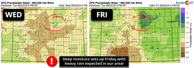
Today begins a trend towards warmer and drier weather for the Front Range as high pressure gets established over Arizona and slowly slides eastward through the rest of the week. A wiggly ridge axis exists across the Rockies this morning which will bring in warmer temperatures and subsident motion leading to calm weather overall. All is quiet across Colorado this …
Amore active pattern returns for the end of the weekend as the mid-levels bring a shortwave into the area. A disturbance will be tracking southeast from Wyoming into Nebraska tonight and into Monday morning. A moist atmosphere will be in place as well with above normal precipitable water values. This should favor a 30-40% chance of showers and storms this …
Yesterday's shortwave system has moved into western Kansas today. In its wake, some weak ridging is taking shape across eastern Colorado. That will aid in sinking motion, limiting overall shower coverage and favoring a drier day. The GEFS precipitation forecast also shows this, with fewer members showing precipitation in Boulder. The same scenario is similar for Sunday, but an uptick …
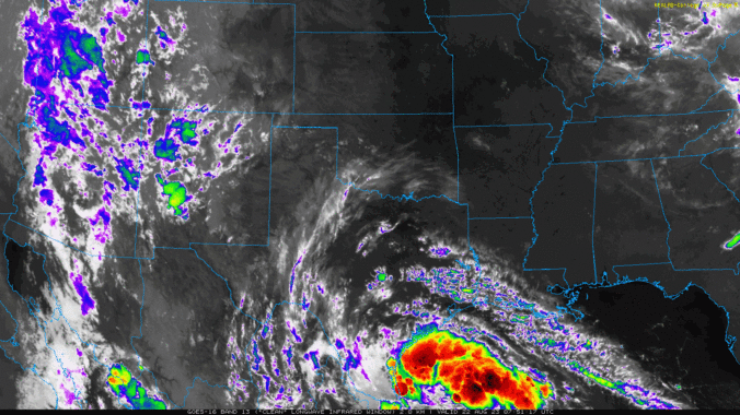
Oour post yesterday outlined the expected widespread rainfall for today into Saturday. So, its probably no surprise to you at this point that this was seen several days out. So, with that, we won't belabor you with all the fine details, which were provided in our post Thursday. The tropical remnants from earlier in the week are now along the …
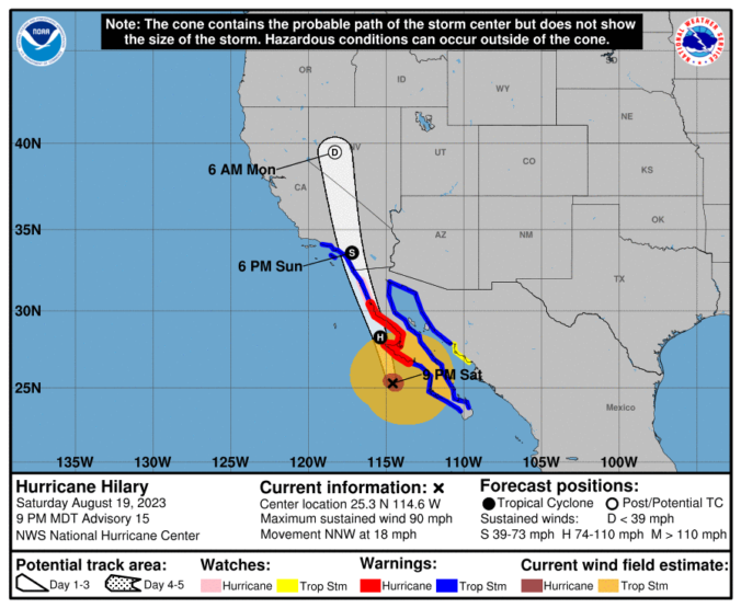
Tuesday was our eighth straight 90°+ day in a row and today will be our ninth as the pattern remains largely unchanged in the general vicinity of Colorado. The one shift today will be the influx of more moisture from the south leading to a slightly better chance of late-day thundershowers. The remnants of once Tropical Storm Harold are on the …
Both Denver (99°) and Boulder (98°) set new record high temperatures yesterday for August 21st as temperatures sizzled towards the century mark across the Front Range. Boulder bested the existing record set 63 years ago by a single degree. Today won't be quite as hot but it will still be plenty warm as an insanely strong concentric ridge of high …
The very anomalously hot ridge (near 600 dm!!) is situated over eastern Kansas today. The moist axis from yesterday that was over north-central to northeast Colorado is long north and west of our state this afternoon. As a result, it will be a hot and dry day with middle 90s and full sunshine. A hot and dry airmass will cover …
🌨️ Light Mountain Snow – Some light mountain snow showers possible today – …
3-Day Forecast

Did You Know?
Denver lies within the semi-arid, continental climate zone (Köppen climate classification BSk). It has four distinct seasons and receives a modest amount of precipitation spread throughout the year.