This content requires a subscription to BoulderCAST Premium.
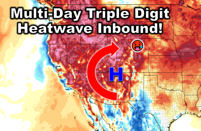
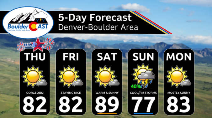
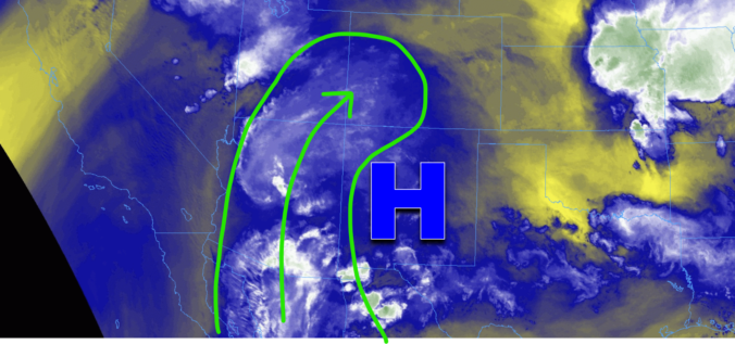
An anomalously hot ridge will remain over the region through the week favoring above normal temperatures in the 90s each day, with the hottest stretch coming the first few days of the work week. We likely won’t reach any record highs but will get close! Come mid to late-week, the ridge will edge a tad southward allowing monsoonal moisture to become further entrenched across the Front Range. This uptick in moisture will increase our chances of late-day showers and storms and cool temperatures by several degrees.
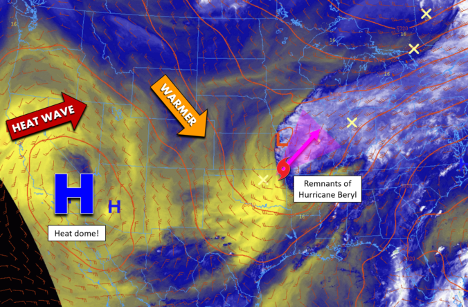
The weather this week in the Front Range will have two contrasting primary themes. A heat dome cooking beneath a large ridge of high pressure off to our southwest will push temperatures towards record highs Monday and Tuesday. However, the rest of the week will exhibit a cooling trend with increasing chances for late-day thunderstorms as several backdoor cold fronts team up with increasing monsoonal moisture. Yes, the famed monsoon season is about to commence! In typical fashion though, there will also be a risk of some severe weather mixed in. Let’s take a look at what should be yet another interesting weather week…
The Front Range has managed to ink out a cool and wet summer so far, but that wasn’t at all due to the monsoon. We discuss what has been causing the cool/wet weather of late and look ahead to when monsoon season may actually commence in Colorado. Spoiler alert: it’s sooner than you might think, but there’s a bit of a catch!
© 2025 Front Range Weather, LLC