Mother Nature will continue to pummel the western United States with storm systems this week, including plenty of activity here in the Front Range. Monday will provide the most substantial severe weather outbreak in Colorado so far in 2024, but fortunately that will go down east of the Denver Metro area. Another system will bring a good chance of widespread rain for us Tuesday alongside chilly temperatures. The rest of the week into the weekend will stay somewhat active with daily chances for showers and thunderstorms. Read on for all the details.
Category: Forecast (Page 26 of 162)
Front Range temperatures through the week will largely hover near to above normal, though there will be a brief dip in temperatures one day behind a late-spring cold front. Rain chances will focus on the early to middle part of the week with our best shot of raindrops coming on Wednesday. Drier and warmer weather will resume for the latter part of the week with 80-degree temperatures in sight. We also provide an update on the chance of seeing more aurora this week. Read on for more details.
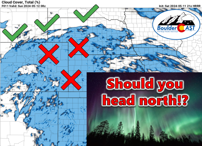
Colorado Aurora Forecast Update: Cloudy skies in the Front Range Saturday night will require eager viewers to head north to see round two!
In extremely rare fashion, Mother Nature’s incredible showing of the Northern Lights Friday night extended across nearly the entire continental United States, including a shimmering display of pink and green hues over the Denver area. If you somehow missed the exceptionally infrequent sight Friday night, you have a second chance Saturday night as severe geomagnetic storming is set to continue across planet Earth for at least one more night. Unfortunately, you won’t be able to see much in the Front Range this time around due to cloud cover. However, a couple hours of interstate driving should be enough to reach clear skies in order to take in round number two Saturday night. Let’s discuss!
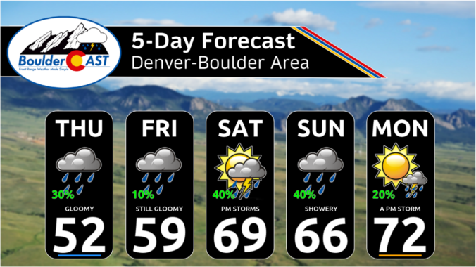
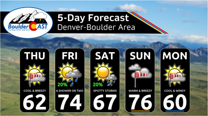
*Premium* This Weekend in Colorado Weather: Temperatures trend up this weekend, but so do the rain chances
The weather pattern across the western United States stays exceedingly active throughout the week ahead with impacts across Colorado ranging from Mountain snow, to cooler than normal temperatures, to elevated fire danger to days of strong downslope winds. Here in the Front Range, we will catch a little bit of everything this week. Read on for all the details.
The week starts off mild and relatively quiet in the Front Range, but trends chilly and unsettled yet again by mid to late week. Mother Nature wants to keep a rather active pattern around for us to begin the month of May. There is also a possibility of some snow mixing in for the latter part of the week, but chances for this drop dramatically from a climatology perspective once May rolls around. Read on as we break down our weather for the week ahead.
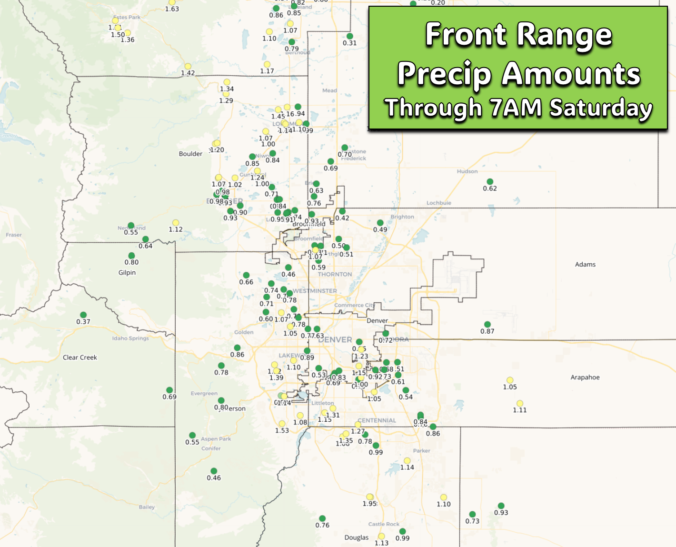
*Premium* Storm Update – Sat 4/27/24 8:30AM | Widespread steady rain continues into the evening with 1-2″ more rain to go, 6-12″+ more snow in the higher Foothills
© 2025 Front Range Weather, LLC

