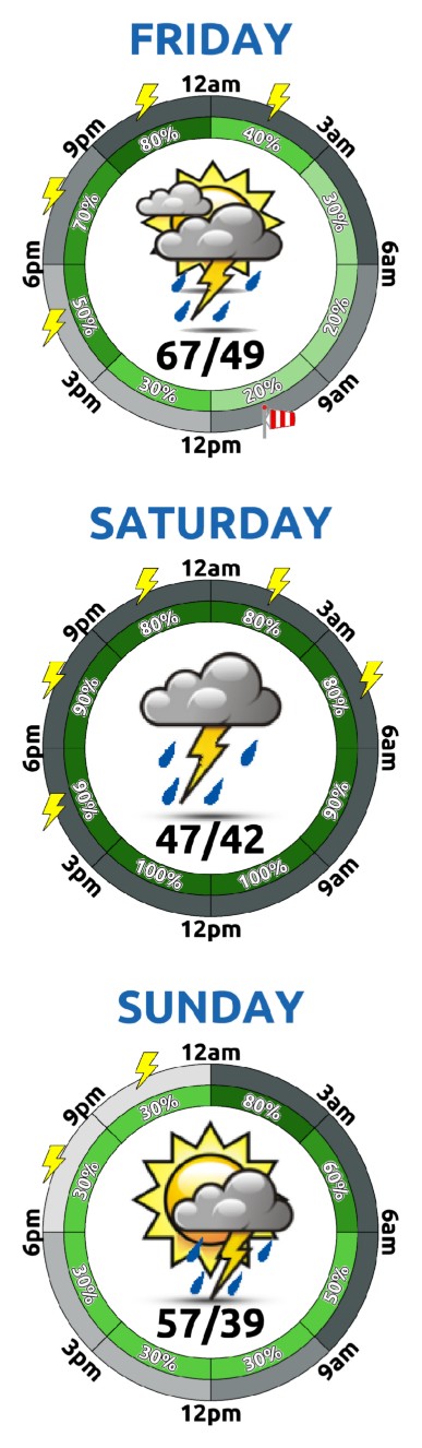
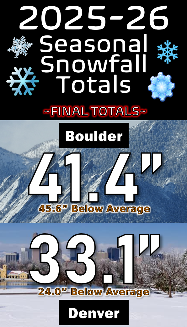
GOES-East satellite imagery this morning shows a line of clouds and showers approaching Colorado from the northwest. This is the Pacific trough we have been anticipating all week long! Over the next 24 to 36 hours, this trough will move in slowly and rake across our area. The vorticity forecast animation below spans now through Saturday afternoon. Notice how the …
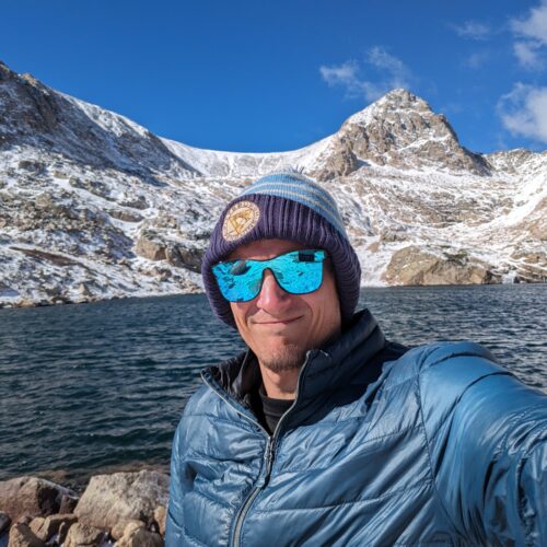
Ben grew up in southwestern Pennsylvania and holds both a bachelor's and a master's degree in Meteorology, the latter being from CU Boulder. His hometown received nearly three feet of snow from the Storm of the Century back in March of 1993, sparking his initial interest in impactful weather. Ben currently works on remote sensing and data analysis software at NV5 Geospatial Software in Boulder.