


Category: Forecast (Page 109 of 169)

Through the day yesterday, models trended slightly warmer for the storm system as it targets northeast Colorado Monday evening and night. We had hoped that the overnight model runs would reverse these changes, but this unfortunately does not appear to be the case. In lieu of this, we are left with a warmer overall storm…one which has numerous sources of lift and plenty of moisture to squeeze out significant precipitation across the Metro area, but is lacking in the cold air department. This will ultimately make for a very tricky forecast across the Boulder and Denver area this evening and tonight. We discuss our concerns, potential impacts, and provide our snowfall forecast map.
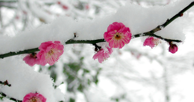
Considering how warm and beautiful the weather has been of late, it’s a little shocking that we are now talking snow to end the month of April. But alas, this is the norm for Front Range Colorado. We provide our preliminary thoughts on big changes in the weather headed our way Monday, including significant snow in the Foothills and lesser amounts for Boulder and Denver as well.

A cool and dreary Monday will give way to a generally pleasant rest of the week with warming temperatures. We also discuss the slim chance of seeing additional snowfall this season.

This week will feature generally warm weather, but there will be periods of cooler weather and some precipitation mixed in.
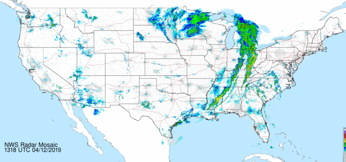
Rain and snow return to the forecast Friday and Saturday, but better weather lies ahead for Sunday. Read on for our updated forecast covering the entire weekend.
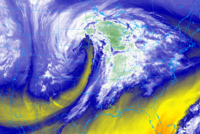
Wednesday’s winter storm was a typical one for the Front Range. We discuss the snow totals, the lack of blizzard conditions, and whether or not it was a bomb cyclone.
Everything is on-track with our spring (winter?) storm. We provide a few last details, potential bust scenarios, and our final snowfall forecast map.

Live View of Boulder

Current Conditions

Live Radar
Latest Smoke Forecast

Recent Premium Posts

This Weekend in Colorado Weather: Several More Scorching Days Ahead Before the Long‑Awaited Monsoon Pattern Arrives
☀️ Persistent heat continues — Low to mid‑90s through Saturday, spiking towards the …
BoulderCAST Daily – Wed 07/15/26 | The Ridge Rules the Rockies as Hot, Dry Pattern Holds Firm
🔥 Heat dome setup continues — A strong, stationary 500 mb ridge keeps …
BoulderCAST Daily – Tue 07/14/26 | The Front Range Continues to Bake Under Expansive Ridge
🔥 Heat streak continues — Boulder hit 97°F for the third time in …
3-Day Forecast

Trending Content



© 2026 Front Range Weather, LLC