We begin the week with windy conditions, followed by a gradual warming trend into the 60’s to end the week. There may be a chance of snow by Saturday, but current model indications look meager at best.
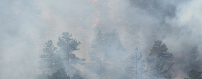
Category: Fire Weather (Page 27 of 29)

Earth. It’s really cool, but it’s warming up faster now than it may have ever warmed before. Unless the buzz from last week’s East Coast blizzard has turned you into a climate change denier, you are likely already on-board with this sentiment. With 2017 now behind us, we take a look back at temperatures throughout the year for the globe, Colorado, and Boulder.
We discuss the forecast for snow on Thursday and how the weather pattern is shaping up heading into the holiday season.

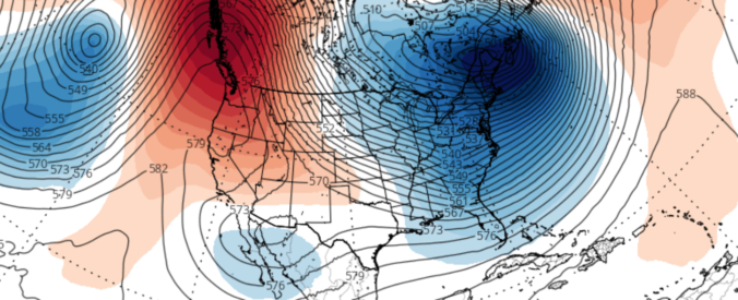
The first high wind event of the “winter” season is upon us. We touch on why these type of downslope events happen, and provide details on the timing and intensity of the strongest winds.
The winds are shifting and the smoke will soon be departing our region. Read on for details.
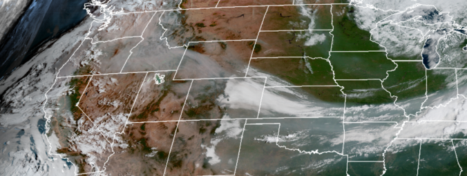
The week ahead starts off feeling like autumn thanks to yesterday’s cold frontal passage. We are rather quiet for the most part with only a slight chance of storms late in the week as temperatures moderate back into the 80’s. More details can be found within, including when we expect the wildfire smoke to exit the region.
We also provide thoughts on Category 5 Hurricane Irma which could be making landfall in Florida this weekend.
The week ahead will be generally quiet across Colorado’s Front Range with large scale ridging in place and the window for monsoon moisture quickly waning. Read on to find out which day we think offers the best chance of rain.
We also provide thoughts on the recent landfall of Category 4 Hurricane Harvey in Texas.
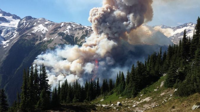
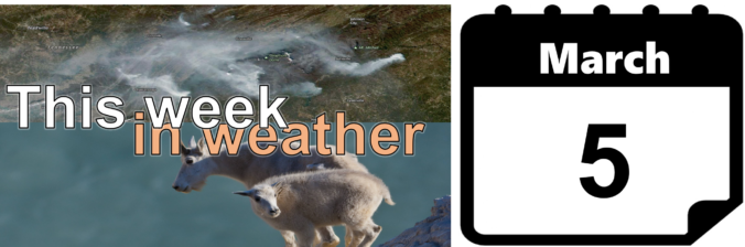
Historical warmth and persistently dry conditions have spawned numerous wildfires across the Pacific Northwest and British Columbia over the past few weeks. With a change in our synoptic flow direction yesterday, thick smoke has pushed into the Denver Metro area creating reduced visibility and air quality. We examine how the smoke got here and how the forecast for the weekend is shaping up.

Live View of Boulder

Current Conditions

Live Radar

Recent Premium Posts

BoulderCAST Daily – Thu 11/27/25 | A sunny Thanksgiving, plus an update on the cold/snow brewing for the weekend
🌞 Thanksgiving Day: Calm, sunny weather statewide under high pressure; highs 49–54°F across …
Flash Sale: Winter is back! Save 30% Through Monday December 1st Only!

Winter Weather Update: Historic snow drought likely comes to an end during what will be a bitter cold holiday weekend in the Front Range
After weeks of unseasonable warmth, the Front Range is staring down its first …
3-Day Forecast

Trending Content


© 2025 Front Range Weather, LLC