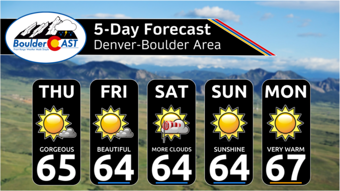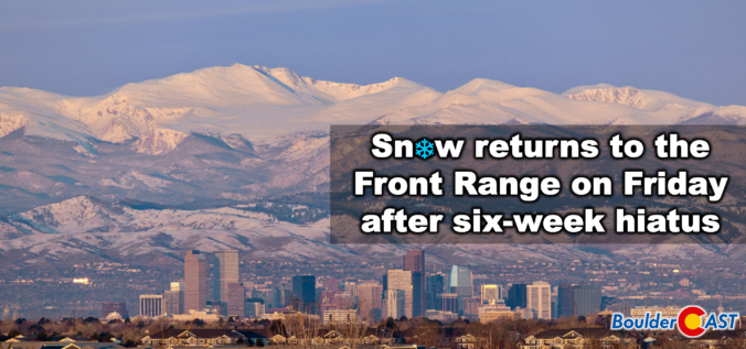
A quick shot of winter weather is finally lining up for the Front Range, and this one has just enough cold air, upslope, and atmospheric ingredients to make things interesting. After weeks (months?) of springlike warmth and storms that couldn’t quite commit to generating lower elevation snow, this late‑week system is poised to break that streak—though not without a few twists. We discuss who is likely to get the most accumulation of wet snow, who gets skunked by downslope, and how fast we’ll bounce right back to sunshine and 60s once the flakes stop flying.
UPDATE (Friday 3/6/26 8:00AM): The majority of models have slowed our storm down allowing for a longer period of ideal snow ingredients to linger over the Front Range on Friday when moderate snow bands will impact the area. Snow amounts have been increased a tad regionwide, with slushy roads now favored for the lower elevations, and difficult travel in the Mountains/Foothills. Snow will continue all day Friday before tapering off Friday evening. Temperatures near and slightly above freezing will allow for a lot of melting. We discuss the changes to the forecast and the latest developments in Friday’s Premium Storm Update HERE.