Category: BoulderCAST Daily (Page 53 of 465)

This page contains an index of our BoulderCAST Daily forecast updates. If you are NOT a Premium member, you will only see a tiny sample of this content below. Subscribe to BoulderCAST Premium to gain access to all of our daily forecasts which get published every morning.
Premium BoulderCAST Daily – Tue 08/19/25 | Heat steadily intensifies through Thursday, but change is taking shape for the weekend

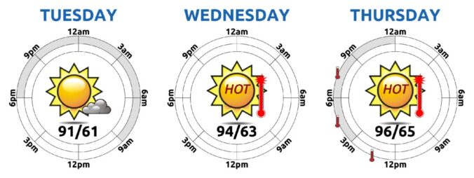
The Front Range is leaning hard into a hotter, drier stretch today as high pressure tightens its grip. If you peek at this morning’s GOES-East water vapor imagery (with 500mb winds overlaid), you’ll spot the developing high centered near the Colorado–New Mexico border. It’s still a bit disorganized — scraggly, even — but it’s gaining strength. By tomorrow, it’ll be …

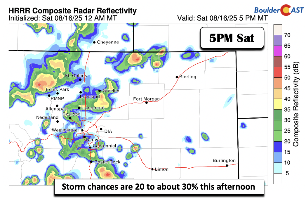
Premium BoulderCAST Daily – Sat 08/16/25 | Not as hot with some low 90s

Storm chances today will again be isolated to scattered in nature, depending on where you reside. Storms are expected to form upstream in the Foothills and High Country, moving onto the plains later this afternoon and evening. The HRRR and NEST models are bullish enough to warrant storm chances, but like always, it is hard to discern how many of …

Premium BoulderCAST Daily – Fri 08/15/25 | Temperatures still very warm but not as hot with increased afternoon storms

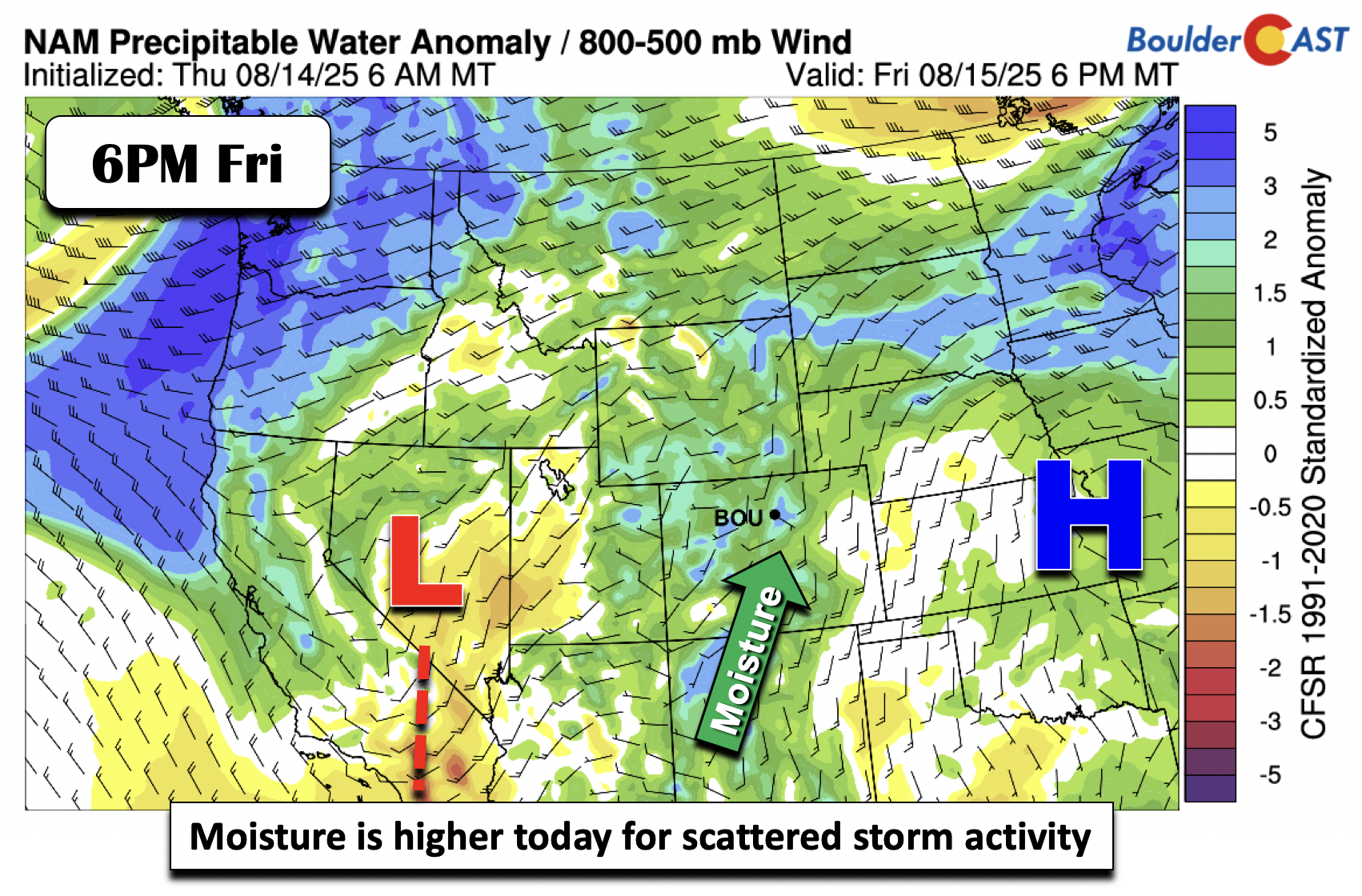
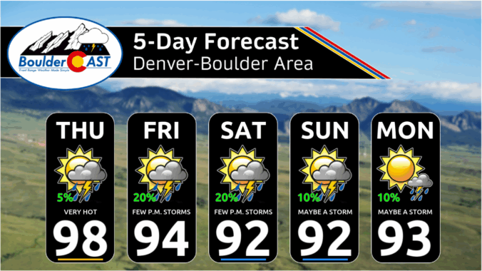
Temperatures today will be very warm but not as hot as yesterday, when they were in the upper 90s. Moisture levels increase this afternoon and evening with a broad trough to our west over the Great Basin. Southerly mean flow will advect in this moisture from the Pacific and monsoon region of Arizona. Precipitation chances will not be noticeably higher, …

Premium This Weekend in Colorado Weather: The heat and smoky haze stick around through the weekend with only low-end storm chances

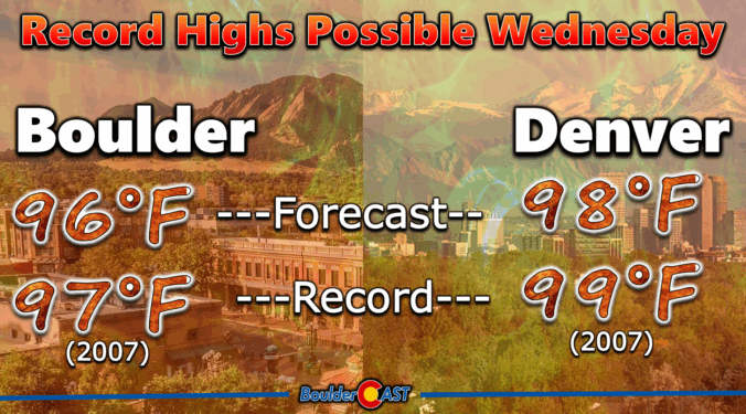
Well, I didn’t expect our tally of 100-degree days to climb this week, but here we are. Boulder officially hit 100°F yesterday afternoon, smashing the previous daily record by a full three degrees. That makes it only the eighth time we’ve seen triple digits in August since the late 1800s—and the first time we’ve logged two of them in the …

Premium BoulderCAST Daily – Wed 08/13/25 | Fire danger on the rise as temperatures soar to near-record levels

We’re heading into a stretch of relatively quiet weather—at least on the surface—as a shortwave ridge slides from Southern California today toward Missouri by Saturday. As this ridge moves east, Colorado transitions into a hotter, stormier pattern thanks to mid-level moisture sneaking back in from the south. That shift kicks off today. There’s just enough moisture overhead to spark some …

Premium BoulderCAST Daily – Tue 08/12/25 | A picture-perfect Tuesday ahead of another heatwave; Stage 1 fire ban goes into effect today

Today’s shaping up to be another gorgeous summer day across the Front Range, thanks to a cool and dry northwest flow lingering over Colorado. Satellite imagery from GOES-East confirms this tranquil setup, but don’t get too comfortable — a strong high-pressure system parked over California and Nevada is on the move. By tomorrow into Thursday, it’ll settle over us, bringing …

Premium BoulderCAST Daily – Sun 08/10/25 | Scattered to numerous storms today with the risk of hail

As expected, much of yesterday's storms were east and southeast of the Denver Metro. A plethora of hail reports were noted, with some to 3 inches, as well as at least one tornado. Today, that severe risk edges slightly to the west to include more of the Denver Metro area: The upper trough is still to our west, with its …

« Older posts Newer posts »