Category: BoulderCAST Daily (Page 205 of 465)

This page contains an index of our BoulderCAST Daily forecast updates. If you are NOT a Premium member, you will only see a tiny sample of this content below. Subscribe to BoulderCAST Premium to gain access to all of our daily forecasts which get published every morning.

BoulderCAST Daily – Fri 01/28/22 | The 40s return to help melt some snow!

Aridge of high pressure at mid-levels will be the story for today, ushering in a nice warmup to end our week. The ridge will be centered over western Utah and eastern Nevada. As a result of the ridge in place, lots of sunshine will dominate our skies today and tonight. That will aid in some snow melt from what fell …

BoulderCAST Daily – Thu 01/27/22 | A surge of moderate snowfall this morning tapering off during the afternoon

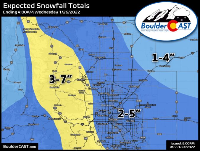
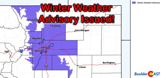
The National Weather Service has increased their totals a bit and now are closer inline with our forecast posted yesterday. A Winter Weather Advisory has been issued for the entire Metro area and Foothills as snowy conditions will develop for the back-half of the morning commute. The only model that was somewhat concerning to us yesterday was the HRRR as …

BoulderCAST Daily – Wed 01/26/22 | Mostly sunny today with more snow tomorrow

We're starting off quite chilly across the Metro area this morning. BoulderCAST Station is reporting a temperature around 10 degrees, but there are some colder conditions further north and east including below zero temperatures along the South Platte River valley as shown below. Our average low this time of year is 23°F so this morning is definitely below normal. Things …

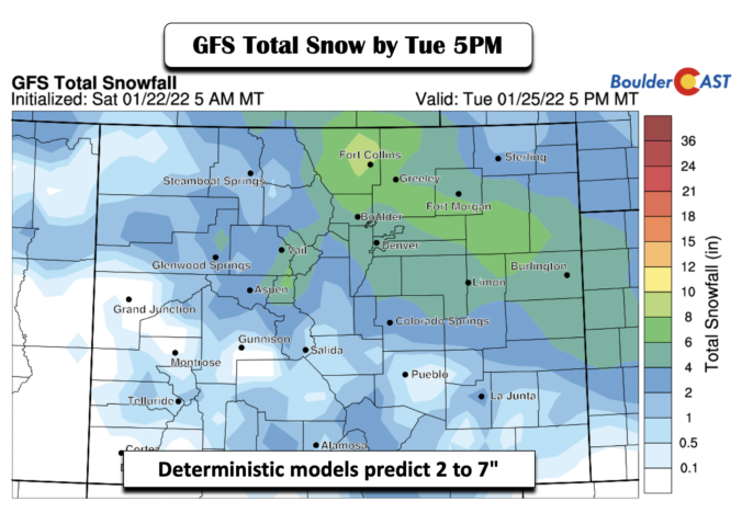
BoulderCAST Daily – Tue 01/25/22 | Watch for a burst of heavy snow this morning!

Though everything is coming together just a tad slower than expected, a burst of heavy snow this morning remains the primary concern in today's forecast. GOES-East infrared satellite imagery shows the storm system diving southward through Salt Lake City early this morning. Most of the associated large-scale lift is to the east of this trough which is putting all of …

BoulderCAST Daily – Sun 01/23/22 | The 50s return today, followed by snow come Tuesday

Yesterday's high temperatures were some 7-13 degrees warmer relative to the last 24 hours. The warming trend continues today with a gorgeous day for a hike or bike ride. Downslope warming continues to entrench much of the Front Range area. As is shown in the figure below, the airmass warms significantly compared to yesterday. That should easily allow highs in …

BoulderCAST Daily – Sat 01/22/22 | Moderating temperatures with 50s by tomorrow

Yesterday's snow totals ranged from a trace of snow north and east of Denver, a trace to one inch in the central and western suburbs of Denver, and around an inch or two closer to the Foothills near Boulder and Golden. These amounts verified well with our forecast. As for today, quieter weather is in store for not only today …

BoulderCAST Daily – Fri 01/21/22 | Light to moderate snow develops by afternoon

Adeep period of upslope flow will ensue late this morning and continue into the late evening hours, ushered in by a strong cold front coming through from Wyoming (below). The upslope should extend up to about 7,000 to 10,000 ft deep from the surface. The cold air will envelope the Front Range, especially by this evening, favoring some high snow-to-liquid …

« Older posts Newer posts »