Category: BoulderCAST Daily (Page 197 of 465)

This page contains an index of our BoulderCAST Daily forecast updates. If you are NOT a Premium member, you will only see a tiny sample of this content below. Subscribe to BoulderCAST Premium to gain access to all of our daily forecasts which get published every morning.

BoulderCAST Daily – Sun 04/03/22 | Highs in the mid to upper 50s under cloudy skies and a few passing showers

An area of low pressure over the Dakotas has brought a cold front through the region earlier this morning. Behind it, temperatures will be much cooler than Saturday in the mid to upper 50s with extensive mid and high clouds over the Front Range. Don't expect to see much sun until perhaps briefly around sunset. Behind the front, high pressure …

BoulderCAST Daily – Sat 04/02/22 | Well into the 60s this afternoon as high clouds develop off the Divide

An area of low pressure resides over Montana today, which will track into the Dakotas by tomorrow. As it does so, westerly flow will strengthen this afternoon across the state over the Plains. While we don't expect anything major in terms of wind gusts, occasional gusts to 25 mph are possible off the Foothills over Boulder and Denver. Given the …

BoulderCAST Daily – Fri 04/01/22 | Heavy snow to end our work week

Heavy snow will end our week across the Front Range for the morning and afternoon. Actually, we lied! April Fools! There is a weak trough moving through the area today, that will push off into Kansas by the afternoon. The early morning radar showed only isolated to spotty showers at best over the Front Range. Most of these showers will have …

Weekend Weather Snapshot: March 31, 2022

Ever-so-brief high pressure will be present in Front Range Colorado today as a shortwave ridge screams across the area during the daytime hours. By early afternoon, the ridge axis will essentially be right over Denver --- and by evening, it will be gone to the east with the next, albeit weak, trough already entering the picture from the northwest. Today's …

BoulderCAST Daily – Wed 03/30/22 | Gusty north winds & cool

Yesterday was quite gloomy with rain eventually changing to snow across much of the area. Temperatures from Boulder northward stayed too warm until the precipitation had ended and no snow was reported. The map below shows radar estimated precipitation totals from the event. The big storm from yesterday is long gone now to the east. For today the primary concern …

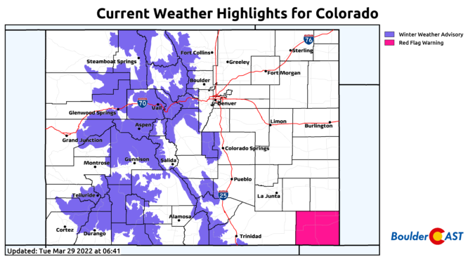
BoulderCAST Daily – Tue 03/29/22 | Much cooler with rain/thunder transitioning to snow later this evening

⦁❶⦁ A wet storm system will spread rain, thunder and eventually some snow across the area today into tonight

⦁❷⦁ After highs in the 50s, a strong cold front blows through by early evening with tumbling temperatures and blustery northeast winds to 40 MPH

⦁❸⦁ Rain will change to snow during the mid to late evening, with that transition happening earlier in the Foothills and Palmer Divide

⦁❹⦁ Generally less than 1″ of accumulation is expected across the lower elevations, but several inches in the higher terrain
Continue reading

BoulderCAST Daily – Sun 03/27/22 | Near-record heat with reduced air quality in Boulder

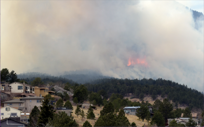
To our surprise, a wildfire broke out yesterday afternoon near the National Center for Atmospheric Research (NCAR). Some gusty winds at times in the afternoon peaking around 30 mph fueled the fire to grow and force evacuations in portions of the Boulder area. If you were planning to hike in Boulder today, be sure to check the up-to-date information on …

« Older posts Newer posts »