Category: BoulderCAST Daily (Page 188 of 465)

This page contains an index of our BoulderCAST Daily forecast updates. If you are NOT a Premium member, you will only see a tiny sample of this content below. Subscribe to BoulderCAST Premium to gain access to all of our daily forecasts which get published every morning.

Colorado Weekend Weather Outlook: June 16, 2022

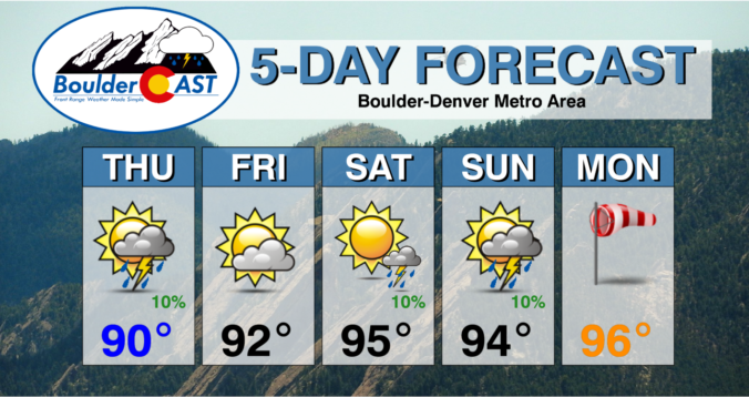
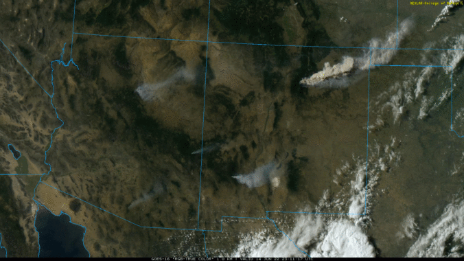
Get ready for a hot and smoky next several days! A center of high pressure is just beginning to break off and get established across Oklahoma and Kansas this morning. This setup will be perfect to formulate southwest flow in the atmosphere across the Four Corners region. With this, our temperatures will have no problem soaring into the lower 90s …

BoulderCAST Daily – Wed 06/15/22 | Sunny & warm today, the heat & smoke return in the coming days

Yesterday's high temperature was only 81°F --- a far cry from the scorching 98°F the day prior. It sure felt nice! The current large scale pattern is shown in the 500mb GFS height anomaly forecast panel below. The big storm system up in southern Canada has a trailing trough stretching all the way southward into northern Colorado --- this is …

BoulderCAST Daily – Tue 06/14/22 | The heatwave has cracked! For now…

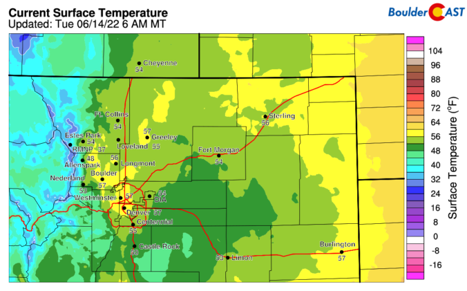
The heatwave has finally cracked! A cold front passed through last night around 10:00PM with gusty winds and a wave of blowing dust battering the Denver Metro area.  As a result of this frontal passage, temperatures today will be about 15 to 20 degrees cooler. https://twitter.com/BoulderCAST/status/1536553075342684160   This morning's GOES-East infrared satellite animation is shown below. The big, cold trough …

BoulderCAST Daily – Sun 06/12/22 | Isolated storms as highs reach the low to middle 90s

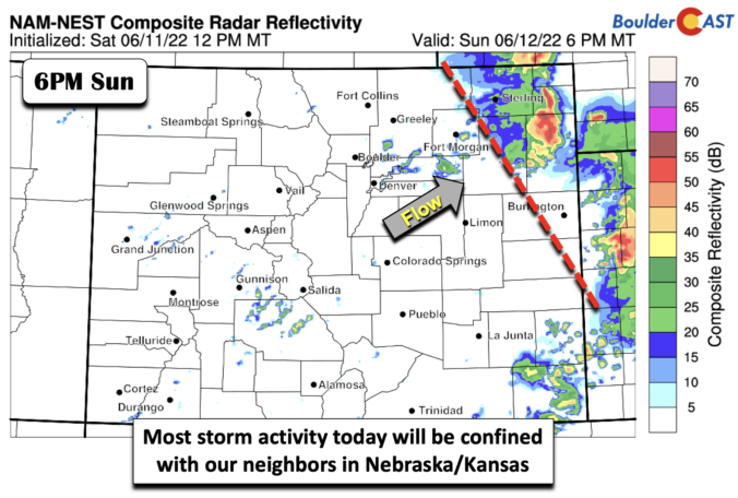
Atrough of low pressure has moved inland from the Pacific Ocean, located over northeast Oregon. A cold front extends from the low into northern California. The cold air behind the front is just enough to bring a late-season snowfall to the northern Rockies of Idaho/Montana early this coming week. The trough to our northwest and the ridge, which shifts to …

BoulderCAST Daily – Sat 06/11/22 | The heat continues, with chances of storms each day this weekend

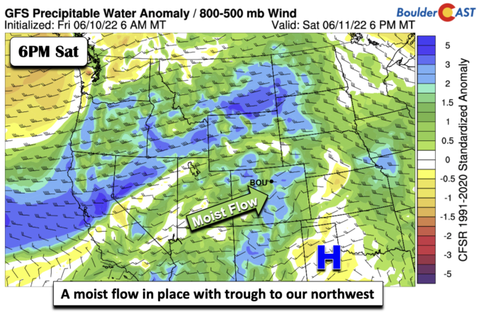
Colorado is situated between a ridge of high pressure to our south and a trough in the Pacific Northwest. This pattern will more or less be the case tomorrow as well, although the trough out west will move inland over Oregon. As a result of this pattern, a moist pattern is in place across the state, in addition to the …

BoulderCAST Daily – Fri 06/10/22 | The Heat Wave Starts

There was a cold front that slid down from Wyoming and Nebraska late last night and earlier this morning as low pressure tracked into the Mid-Mississippi Valley. That cold front will weaken as it pushes east into Kansas this afternoon. Our winds at the surface as a result will start out from the east-northeast and shift to the south to …

Colorado Weekend Weather Outlook: June 9, 2022

Summer will be in full-swing for the weekend ahead! A hot pattern is developing across the western United States with temperatures progged to soar into the 90s for us the next five days or more. The atmospheric pattern responsible is a stagnant ridge of high pressure that sets up to our south across New Mexico and Arizona --- this will …

« Older posts Newer posts »