Category: BoulderCAST Daily (Page 187 of 465)

This page contains an index of our BoulderCAST Daily forecast updates. If you are NOT a Premium member, you will only see a tiny sample of this content below. Subscribe to BoulderCAST Premium to gain access to all of our daily forecasts which get published every morning.
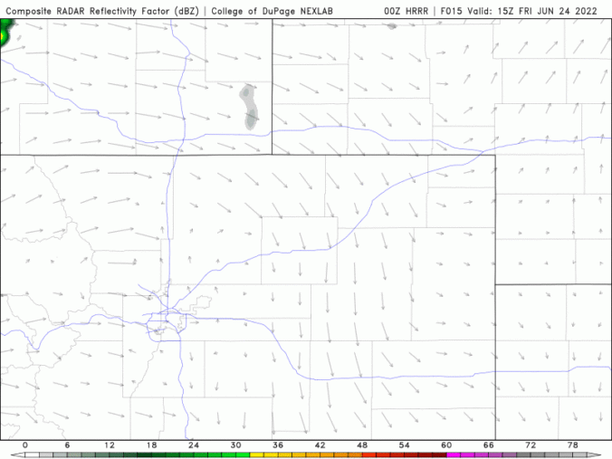
BoulderCAST Daily – Fri 06/24/22 | Scattered storms today, a cold front moves in tonight

Agood chance of storms will exist this afternoon and evening as a trough moves across the northern Rockies along with a moderate jet streak for late June passing trough northern Colorado. The NAM 500mb vorticity animation below shows the shortwave trough progressing through today. While most of the energy will remain north in Montana and Wyoming, the trailing weak shortwave …

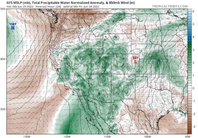
BoulderCAST Daily – Thu 06/23/22 | Lots of clouds & isolated showers

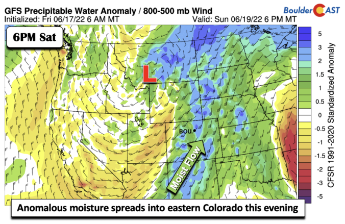
Subtropical moisture continues to increase into portions of Colorado today from the southwest. The best moisture remains away from the Front Range for the time being though. As you can see in the GFS moisture anomaly forecast below for this evening, our area is conspiculously still expected to see below normal moisture, despite above normal moisture for the rest of …

BoulderCAST Daily – Wed 06/22/22 | Warmer and still dry

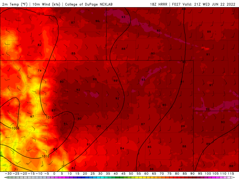
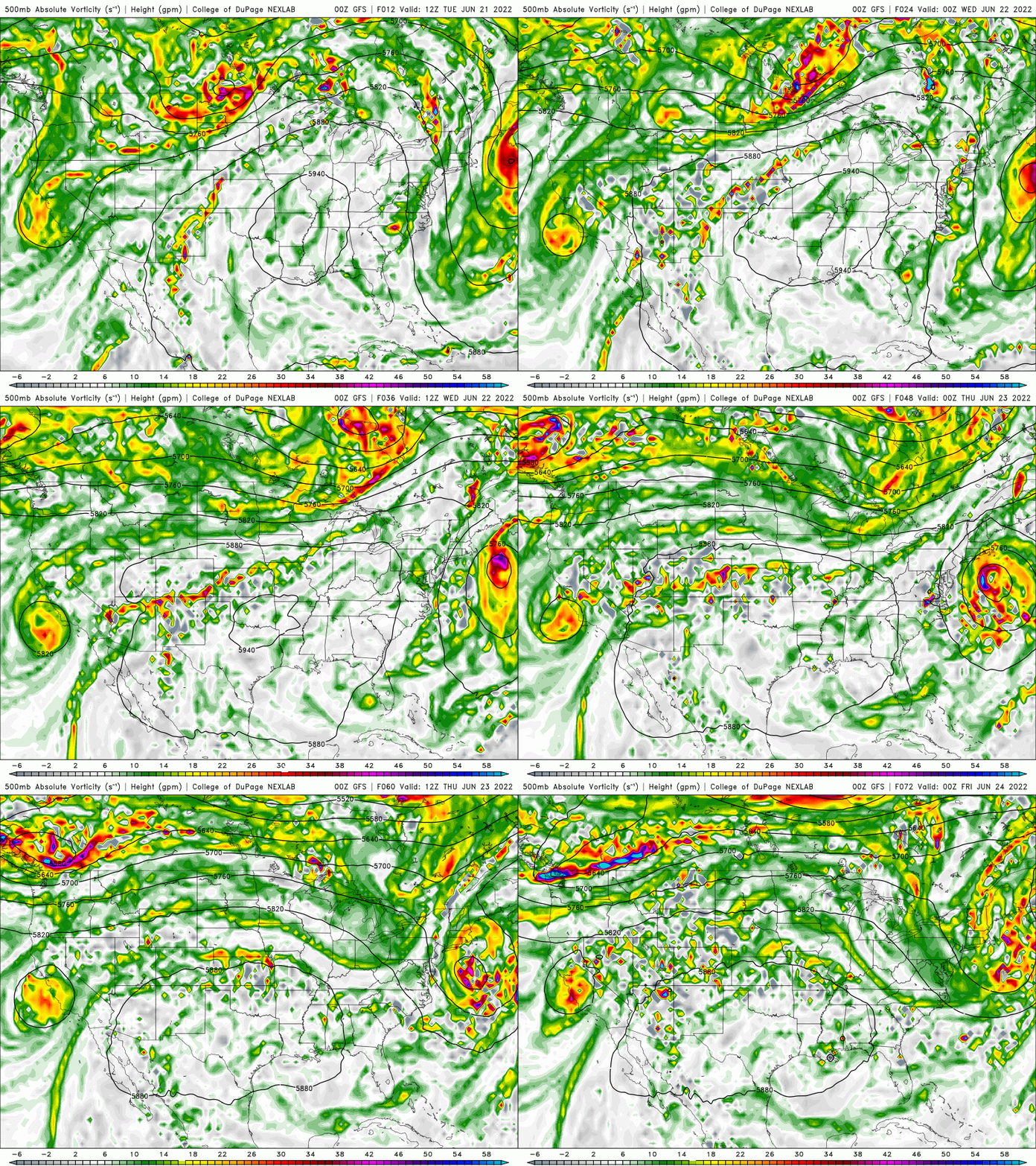
The main change in today's weather compared to yesterday is an increase in high cloudiness as mid- and upper-level moisture increase from the southwest as high pressure intensifies over Texas. Despite this cloudiness, temperatures will warm up further today across the Metro area into the upper 80s. Denver and areas northeast may hit the 90-degree mark. As the big ridge …

BoulderCAST Daily – Tue 06/21/22 | Quiet with plenty of sun to go around

The trough that moved through yesterday pushed a weak and dry cold front through overnight. As a result, we'll be a few degrees cooler today, but still right around our seasonal mark in the lower 80s. High pressure will begin building into the area behind the departing trough leading to mostly sunny skies. Some puffy cumulus clouds will be possible …

BoulderCAST Daily – Sun 06/19/22 | Showers and storms push further east to the Plains

The strong mid-level trough that was further west yesterday will be pushing east into Utah and Idaho. The mid-level energy will now be moving further east toward the Plains and eastern Colorado this afternoon and evening. This will favor an increased chance (30-40%) of showers and storms in the Denver Metro area. The deep and anomalous moisture will also be …

BoulderCAST Daily – Sat 06/18/22 | Highs in the lower 90s with an uptick in storm chances

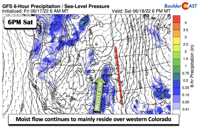
Astrong mid-level trough, which has been affecting us for the past several days, is currently located over central California, with its northern branch over Washington and Oregon. The flow over us remains southerly. The strongest lift/energy will continue to reside over the High Country and western portions of the state. It will be another warm day with highs in the …

BoulderCAST Daily – Fri 06/17/22 | Smoke continues to be an issue today with highs in the upper 90s

Colorado is largely sandwiched between high pressure to our east in eastern Kansas and a deep double-lobed trough stretching from Washington to California. This pattern is sending a strong southerly flow across the state. This will continue to lead to very hot temperatures, today reaching the middle to upper 90s on the Plains. The southerly flow will advect subtropical moisture …

« Older posts Newer posts »