Category: BoulderCAST Daily (Page 182 of 465)

This page contains an index of our BoulderCAST Daily forecast updates. If you are NOT a Premium member, you will only see a tiny sample of this content below. Subscribe to BoulderCAST Premium to gain access to all of our daily forecasts which get published every morning.

Colorado Weekend Weather Outlook: August 4, 2022

High pressure really starts to intensify today across New Mexico with its sphere of influence expanding further to impact the Front Range more significantly. Convection will be further reduced with moisture trending downward and temperatures aloft trending up. The best chance of isolated storms today will be across the higher elevations, including the Foothills and Palmer Divide. Storms will dissipate …

BoulderCAST Daily – Wed 08/03/22 | A bit cooler & drier today, but a couple hot days lie ahead

High pressure, which has flattened out a little out in the last 24 hours with the passage of yesterday's disturbance, will rebuild today and intensify as it moves slightly eastward over the remainder of the week. The GFS 500mb height anomaly forecast animation below shows the ridge's migration from the Four Corners this morning into southeast Colorado by Friday afternoon. …

BoulderCAST Daily – Tue 08/02/22 | More 90s as scattered showers & storms return

High pressure remains the dominant weather feature across our area today, but an uptick in monsoon moisture will lead to a better chance of late-day showers and thunderstorms than we've seen over the last several days. GOES-East water vapor imagery below shows the center of the high is located along the Arizona-New Mexico border this morning, with counter-clockwise flow ushering …

BoulderCAST Daily – Sun 07/31/22 | Slight uptick in rain chances on this last day of July

The mid-level ridge today moves ever so slightly to the west near the Four Corners. The slight movement will allow for an increase in shower/storm activity to reach the Plains from the higher terrain, as opposed to yesterday in which most storms resided over the High Country. Though, any storms will be limited rain producers given weak flow. Highs today …

BoulderCAST Daily – Sat 07/30/22 | Rain chances again reduced as 90s return

Today's pattern is very similar to Friday, except for a warmer airmass over the area. The deepest moisture and lift/forcing continues to be located over the higher terrain west of Denver and over the south/southwest part of the state. To that end, we can once again expect the best chance of any storms today over the High Country and especially …

BoulderCAST Daily – Fri 07/29/22 | Precipitation chances remain, but highest south

T  he cold front remains draped along eastern Colorado and the Front Range today and tonight. It has pushed south across the Mid-Mississippi Valley today and into the Ohio Valley, bringing much cooler temperatures there. The hottest temperatures remain anchored across the far west, near the Pacific Coast and into interior California and Nevada. As the upslope surface flow continues …

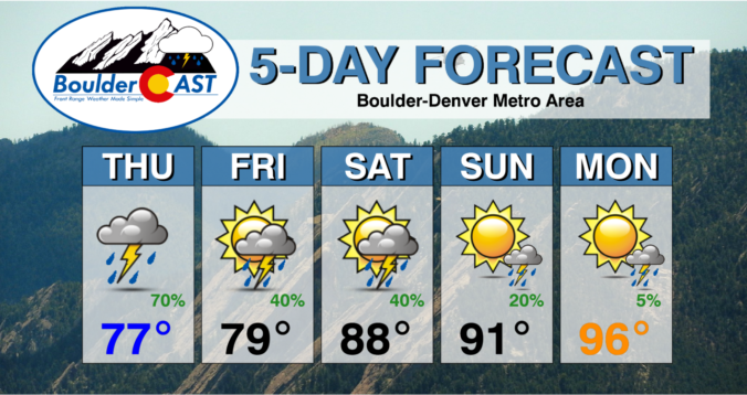
Colorado Weekend Weather Outlook: July 28, 2022

⦁❶⦁ Strong thunderstorms last night produced localized flash flooding, hail, and incredible lightning across the area

⦁❷⦁ Monsoon moisture peaks on Thursday with an excellent chance of more rain and cool temperatures

⦁❸⦁ Rain chances will decline slowly through Friday and the weekend as temperatures trend up, but flash flooding remains a concern

⦁❹⦁ We temporarily dry out early next week with temperatures returning to the middle 90s or higher by Monday

Continue reading

« Older posts Newer posts »