Category: BoulderCAST Daily (Page 180 of 465)

This page contains an index of our BoulderCAST Daily forecast updates. If you are NOT a Premium member, you will only see a tiny sample of this content below. Subscribe to BoulderCAST Premium to gain access to all of our daily forecasts which get published every morning.
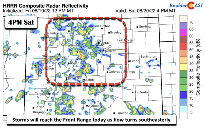
BoulderCAST Daily – Sat 08/20/22 | Storm coverage increases over western suburbs of Denver today

Amid-level trough axis will shift east today from where it was yesterday. On Friday, it was just slicing through the Four Corners. Today, that axis shifts from northern Utah into southwest Colorado and into north-central New Mexico. This movement will allow storms to push further east onto portions of the Plains this afternoon and evening, even with the mean 500 …

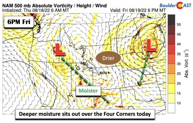
BoulderCAST Daily – Fri 08/19/22 | A cool front keeps temperatures in check with a slight chance of storms

There was a nice cool front that moved through the area earlier. It's current position this afternoon will be over southern sections of the state and east into central to eastern Kansas. The front is tied to an area of low pressure over Minnesota. Seasonal temperatures will be the story today as the cooler air keeps temperatures in check, in …

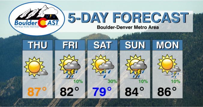
Colorado Weekend Weather Outlook: August 18, 2022

Quiet weather is on-tap for Thursday as surface high pressure remains in control of the area for the time being. Minimal cloud cover and continued dry northwest flow will lead to a sunny and warm, but not hot, day! Highs will reach the upper 80s across most of the Denver Metro, with possibly places like DIA touching 90 degrees. The …

BoulderCAST Daily – Wed 08/17/22 | A return to business as usual

After the soggy start to the week, we resume "business as usual" for the summer beginning today. Sunny skies and warm temperatures are on the horizon as high pressure sets up in the northern Rockies. This pattern will cut off the monsoon for the time being with much drier northwest flow taking hold over our state. Yesterday's rain-maker has pushed …

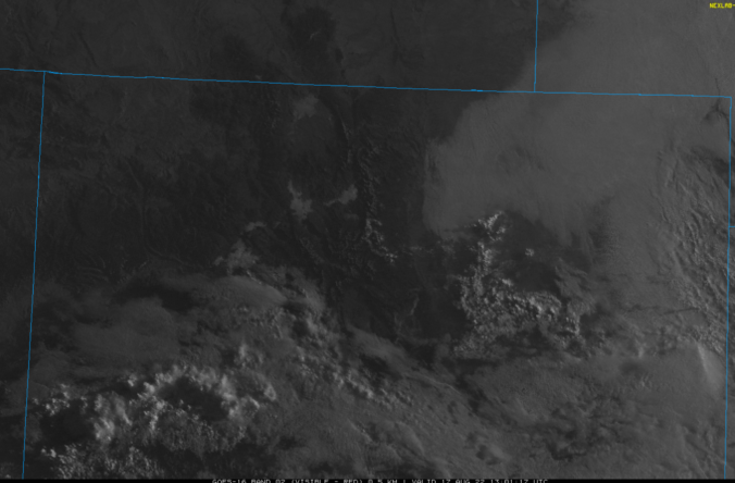
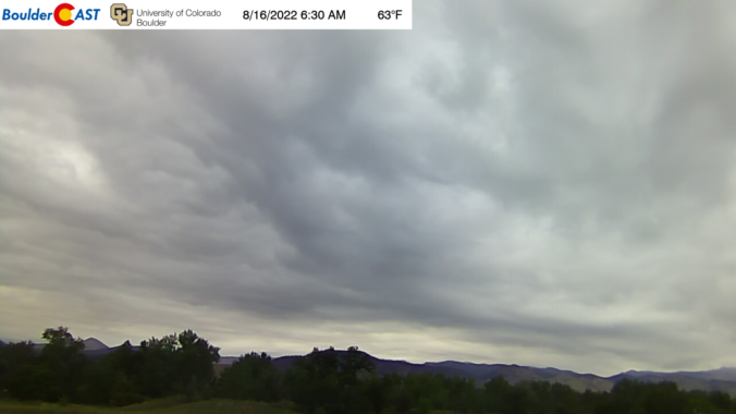
BoulderCAST Daily – Tue 08/16/22 | Staying cool & gloomy after yesterday’s localized flash flooding

Yesterday's widespread rainfall came together about as expected during the afternoon, evening and overnight hours. The heaviest rain was indeed south of Denver, with places like Aurora, Centennial and Highlands Ranch seeing brief flash flooding as 1.5 to 2.5" of rain fell in less than one hour. https://twitter.com/BoulderCAST/status/1559299931646488576 Areas north of Interstate 70 primarily saw just prolonged light rainfall which …

BoulderCAST Daily – Sun 08/14/22 | Another round of showers and storms with highs near the low 90s

Amid-level shortwave trough will track across Wyoming this afternoon and tonight, reaching portions of South Dakota and Nebraska come early Monday. As this trough moves in the easterly direction, a trough axis to its south will invigorate showers and thunderstorms over the higher terrain and over the Plains once again this afternoon/evening. Ahead of any storms, highs will remain warm …

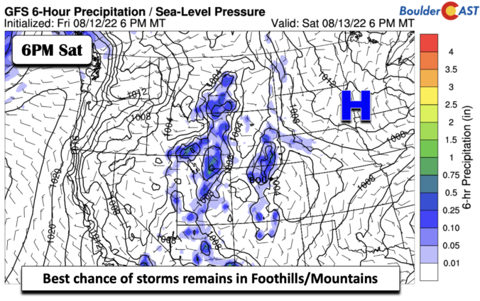
BoulderCAST Daily – Sat 08/13/22 | Increasing storm chances this weekend

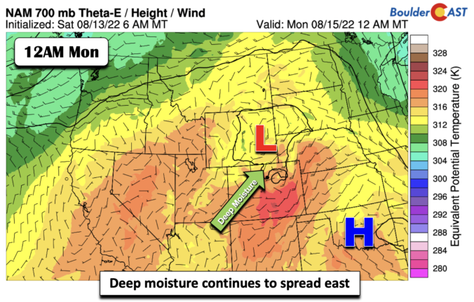
Ridge of high pressure at mid-levels will remain over eastern Colorado to western Kansas today, but continue to slowly edge eastward. As it does so, deeper moisture will start to spread east from Utah into western and central Colorado. As a result, storm chances today increase to 10-20%, but primarily for areas west of I-25. The best chance will be …

« Older posts Newer posts »