Category: BoulderCAST Daily (Page 178 of 465)

This page contains an index of our BoulderCAST Daily forecast updates. If you are NOT a Premium member, you will only see a tiny sample of this content below. Subscribe to BoulderCAST Premium to gain access to all of our daily forecasts which get published every morning.
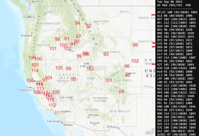
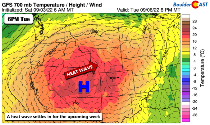
BoulderCAST Daily – Tue 09/06/22 | The scorching heatwave continues through Thursday

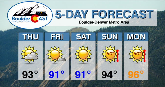
Yesterday's high temperature soared to a toasty 95° in Boulder, while it was even warmer at 97° in Denver. This was our 47th 90-degree day of the year, a count that continues to grow further above normal with each passing day. Today will be even hotter as the unseasonably strong and persistent ridge remains situated over Utah and western Colorado. …

BoulderCAST Daily – Sun 09/04/22 | The beginning of a heat wave

The heat returns today as the cooler airmass slides east into the Midwest. The 90+degree heat spreads into the state from Utah. This will actually be much of the story this coming week - more on that a bit later. Lots of sunshine today with the warmer airmass should push highs into the middle 90s, spot on with the latest …

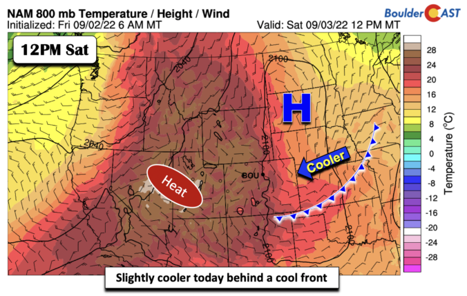
BoulderCAST Daily – Sat 09/03/22 | A touch “cooler” behind a cool front – but heat returns Sunday

Acool front has pushed through the Front Range and eastern Colorado. In its wake, high pressure over the Dakotas will largely influence our weather, producing an east-southeasterly surface wind and slight upslope. There will be abundant amounts of sunshine under the stable conditions and a somewhat cooler day today. Highs will range from the upper 80s in Boulder and northwestern …

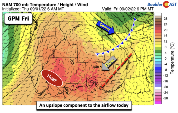
BoulderCAST Daily – Fri 09/02/22 | Highs around 90 with just a slim chance of a storm

Northwest flow will take over at mid and upper-levels this afternoon (below). This change in the flow will allow a surface trough to push south and east of the Front Range today and tonight. The impact of this surface trough (see below) will aid in favoring a more upslope-driven surface wind this afternoon. The more extreme heat will get shunted …

Colorado Weekend Weather Outlook: September 1, 2022

GOES-East water vapor imagery shows the departing shortwave in Kansas and Nebraska which produced a few thunderstorms across northeast Colorado yesterday. Two additional shortwave systems are visible across Montana this morning --- these will be rotating through later today and early Friday. While they are unlikely to produce any precipitation for us, they will allow for more clouds and a …

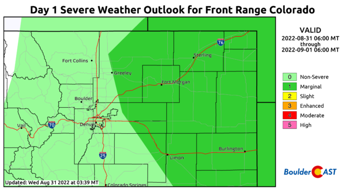
BoulderCAST Daily – Wed 08/31/22 | 90s again with isolated storms possible, some turn severe east of Denver

The strong ridge remains situated over Utah and Nevada, with our area still under northwest flow aloft and largely dry air. The main change for today is the introduction of a weak disturbance that will clip northeast Colorado and spawn a few thunderstorms this afternoon and evening. The subtle feature is hard to detect in the graphic above, but is …

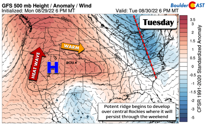
BoulderCAST Daily – Tue 08/30/22 | A big ol’ ridge takes hold for the foreseeable future

Today is the day where the ridge really begins to take control of the Rockies as it strengthens over Colorado, Utah and Nevada. The most unseasonable warmth will take place on the western portion of the ridge where deep southerly flow will bring north hot air from the Deserts. In our area, west-northwest flow will keep things warm but not …

« Older posts Newer posts »