Category: BoulderCAST Daily (Page 138 of 465)

This page contains an index of our BoulderCAST Daily forecast updates. If you are NOT a Premium member, you will only see a tiny sample of this content below. Subscribe to BoulderCAST Premium to gain access to all of our daily forecasts which get published every morning.

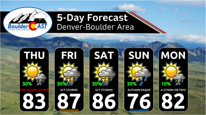
Premium BoulderCAST Daily – Fri 08/04/23 | Turning drier for week’s end with warmer temps in the upper 80s

The ridge of high pressure to our southeast starts to make a westward turn today. With a corresponding area of low pressure over Wyoming/Montana, that will result in a more westerly downslope flow today as opposed to southwesterly earlier this week. This will mean a drier trend to end our week with less storm chances this afternoon and evening. Highs …

Premium This Weekend in Colorado Weather: August 3, 2023

Today begins a shift in our weather away from soaking monsoon thunderstorms towards a greater risk of severe storms, mainly for the eastern Plains of Colorado though. This shift is due to shutdown of the monsoonal pipeline, at least temporarily, as well as increasingly strong flow aloft which will aid in the shear needed for strong to severe storms. GOES-East …

Premium BoulderCAST Daily – Wed 08/02/23 | More monsoon thunderstorms but a lower flood risk

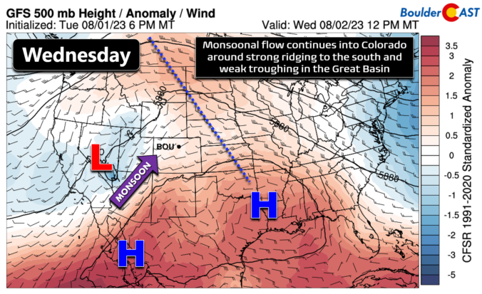
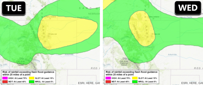
Once again widespread showers and thunderstorms impacted the area yesterday evening. The hardest hit location was probably the area from Allenspark, through Lyons and towards Berthoud which got hit with a tropical downpour in the early evening. Up to 2" of rain fell in the core of this storm in less than 45 minutes prompting flood warnings. For today the …

Premium BoulderCAST Daily – Tue 08/01/23 | Flash flood threat peaks today but the risk lingers at least through Wednesday

Monday evening's monsoon thunderstorms delivered the goods with widespread thunderstorms arriving on schedule along with pockets of torrential rainfall. Regional observations show that generally 0.25 to 0.75" fell in most areas, with more than 3" in the hardest hit locations. Unfortunately today will not offer any reprieve from the heavy rain as more subtropical moisture rushes into the area. GOES-East …

Premium BoulderCAST Daily – Sun 07/30/23 | Another round of monsoonal showers/storms

Alingering frontal boundary will lie to our northeast over western Nebraska and eastern Wyoming this afternoon and evening. High pressure is situated over the northern Great Plains. Over the Front Range, a southerly flow will ensue with temperatures rising to around 90 degrees this afternoon. The monsoonal flow with enhanced moisture will continue to stream into Colorado and Wyoming later …

Premium BoulderCAST Daily – Sat 07/29/23 | Threat of severe storms with the monsoon this afternoon/evening

The mid-level moisture today increases from what it was on Friday. At the same time, high pressure over the panhandle of Oklahoma will open up the fuel pump for moisture transport to move into the area. With that, we are forecasting a 40% chance of afternoon and evening storms, about 10% higher than Friday. The Storm Prediction Center has issued …

Premium BoulderCAST Daily – Fri 07/28/23 | Storm chances remain with rinse and repeat temperatures

The ridge over New Mexico moves little today compared to the past few days. That means, weather-wise, things remain the same. Moisture remains trapped below the anomalously strong ridge, which will spell out another chance of widely scattered showers and storms in the afternoon to early evening hours. Heat to the north of the ridge is also quite unchanged. Temperatures …

« Older posts Newer posts »