


Category: BoulderCAST Daily (Page 137 of 465)

This page contains an index of our BoulderCAST Daily forecast updates. If you are NOT a Premium member, you will only see a tiny sample of this content below. Subscribe to BoulderCAST Premium to gain access to all of our daily forecasts which get published every morning.
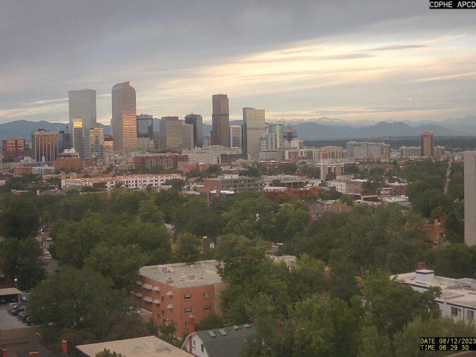
Premium BoulderCAST Daily – Sat 08/12/23 | Clouds limit our instability today, a somewhat strong cold front arrives early Sunday morning

Quite a bit of monsoon moisture is situated over the state this morning as the large-scale setup remains mostly unchanged from yesterday with complimentary pressure systems working together to pull moisture northward into the Four Corners region. GOES-East imagery shows the faucet of moisture aimed at Colorado right now, including some early morning thunderstorms popping across southeast Colorado. Things across …

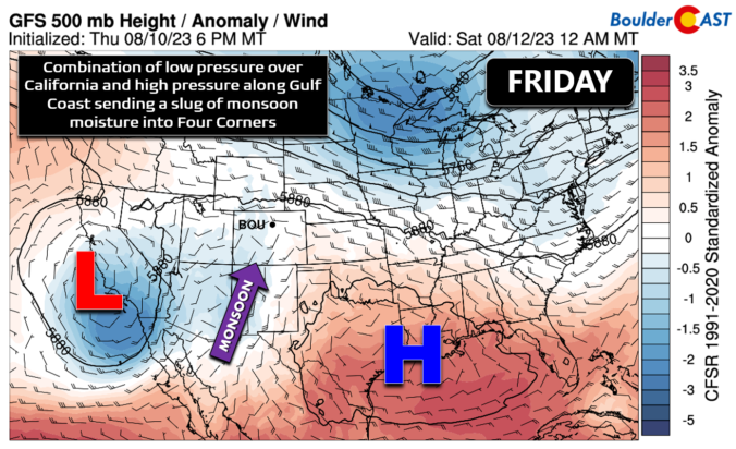
Premium BoulderCAST Daily – Fri 08/11/23 | Monsoon moisture continues to increase and so do our storm chances

A classic summertime setup is underway across the Four Corners region right now as two broad pressure systems team up to funnel monsoonal moisture northward into the Southwest. Counter-clockwise flow around a low pressure near California is working in tandem with the clockwise flow around high pressure along the Gulf Coast. The result has brought a swift resurgence of monsoon moisture …

Premium This Weekend in Colorado Weather: August 10, 2023

Monsoonal flow begins to push into parts of Colorado today from the south, enhanced somewhat by the long-dissipated remnants of Tropical Storm Eugene in the eastern Pacific Ocean. Moisture will just start to reach the Front Range today supplying enough moisture to form high-based convection this afternoon and evening, with gusty winds and light rain the main things to watch …

Premium BoulderCAST Daily – Wed 08/09/23 | Nothing but sunshine today after violent storms out East yesterday

Supercell thunderstorms produced a track of destruction that lasted nearly 100 miles in eastern Colorado yesterday evening. Check out the slew of severe weather reports from Tuesday: Several strong tornadoes (EF2+) likely occurred in these areas. There were also numerous reports of softball-sized hail and even photos of DVD-sized hail up to 5" in diameter --- which if verified would …

Premium BoulderCAST Daily – Tue 08/08/23 | Baseball hail possible out east, much less activity around Boulder

Another day of widely scattered storms are expected across the Front Range as a shortwave traverses into Colorado from the northwest.  This closed-shortwave can be seen in the 3km NAM 500mb vorticity animation below.  It won't fully arrive until the nighttime hours, but there will be plenty of vorticity advection ahead of the trough to enhance storm development during the …

Premium BoulderCAST Daily – Sun 08/06/23 | Showers and storms again possible with much cooler temperatures

Afrontal passage has brought much cooler temperatures across the Front Range today. The temperature anomalies in the lower levels (below) range from 2 to 3 standard deviations below normal for early August. We'll see highs in the low to middle 70s before the threat of storms approach later this afternoon and evening. Speaking of storms, at mid-levels, we have a …

Premium BoulderCAST Daily – Sat 08/05/23 | Severe storms favored today with a cold front

Asurface low to our northeast this afternoon will slowly drag a cold front into our region this evening, ushering in much cooler weather for tomorrow. At the same time, high instability this afternoon alongside a surface trough ahead of the front will increase our chances of showers/storms later today and tonight. The Storm Prediction Center has issued a slight risk …

« Older posts Newer posts »
