Category: BoulderCAST Daily (Page 130 of 399)

This page contains an index of our BoulderCAST Daily forecast updates. If you are NOT a Premium member, you will only see a tiny sample of this content below. Subscribe to BoulderCAST Premium to gain access to all of our daily forecasts which get published every morning.

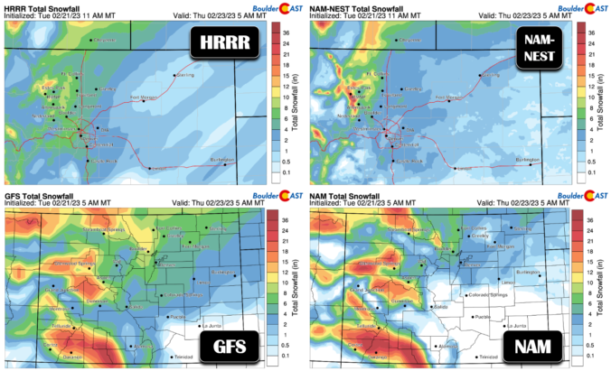
Premium Storm Update – Tue 2/21/23 7:00PM | Snow will arrives in a hurry pre-dawn Wednesday morning!

After a beautiful time in the 60s today, things are starting to look more stormy out there as the sun sets behind darkened clouds. It’s hard to believe, but snow will be falling in less than 12 hours in most areas with temperatures dropping into the single digits and teens in a flash! We run through a final check of the models looking at snow amounts, travel impacts and those cold temperatures.
Continue reading

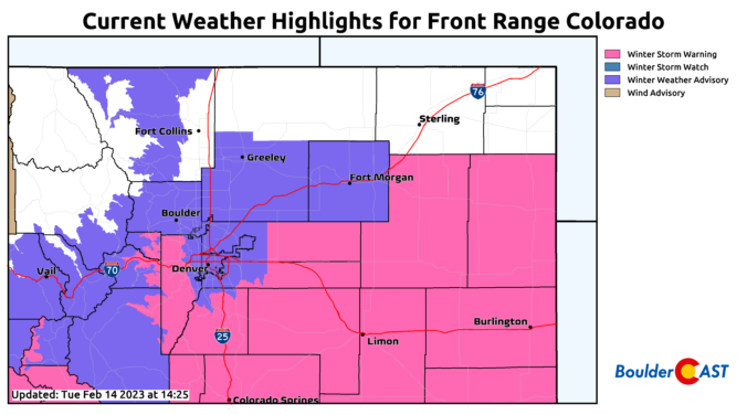
Premium Storm Update – Tue 2/14/23 3:00PM | A comb through the latest model output breeds confidence in the going forecast

It’s blustery out there this afternoon, but at least there is some sunshine. Our approaching winter storm is gearing up back across Nevada right now and it will be spreading widespread snow into the area tonight. Cold temperatures falling into the teens, gusty winds, and persistent light snow will make for slick travel through Wednesday evening. We run through a final check of the models regarding snow amounts, including a discussion of low and high-end potential for this storm and when it will finally wrap up on Wednesday.

Continue reading

« Older posts Newer posts »