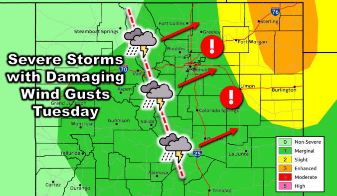
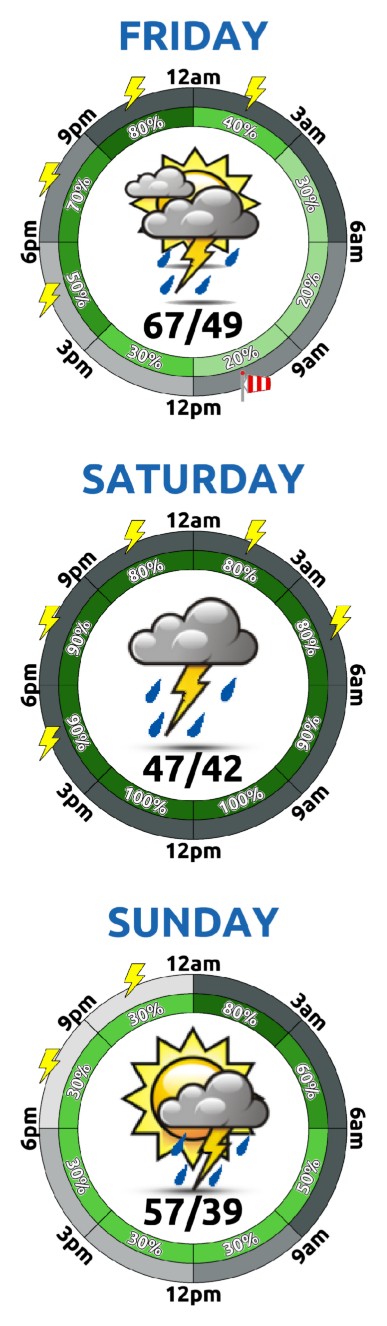
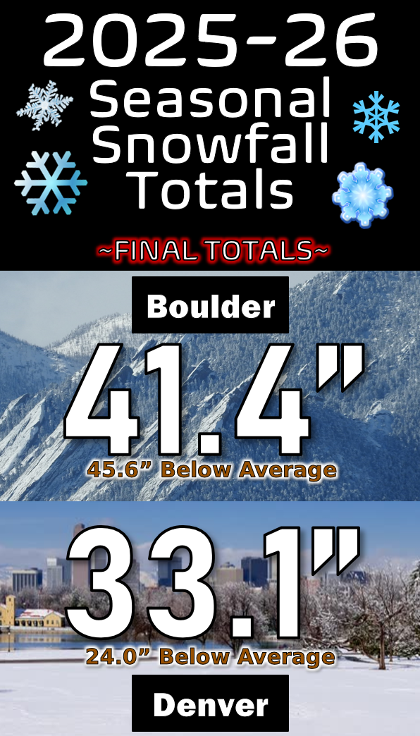
Today will be the most active and wettest day of the work-week across the Front Range, with the primary concern being a line of severe thunderstorms expected to blow through the entire area this afternoon. As of writing Tuesday morning, the potent closed-low pressure is located in northern Nevada. Over the next 24 hours, this system will scurry northeastward towards …
Ben grew up in southwestern Pennsylvania and holds both a bachelor's and a master's degree in Meteorology, the latter being from CU Boulder. His hometown received nearly three feet of snow from the Storm of the Century back in March of 1993, sparking his initial interest in impactful weather. Ben currently works on remote sensing and data analysis software at NV5 Geospatial Software in Boulder.
More Posts