We’ve been tracking basic atmospheric surface parameters at BoulderCAST Station since 2015. Recently we have added a laser particle counter that monitors air quality. Read on for details on how air quality is measured, why it matters, and where you can find the data from our sensor.
Author: BoulderCAST Team (Page 43 of 48)
This post had major contributions from at least two members of our team. The more meteorologists the better, right?
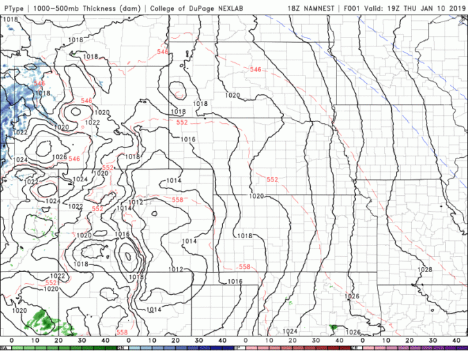
Mother Nature never disappoints us! Just when it looks like another quiet weather-week in Colorado, snow is on the horizon! We talk timing, amounts, and model uncertainty for wet snow beginning Friday morning. Read on for details.
UPDATE (FRIDAY 6AM): We are seeing better agreement among the models this morning. Better, but still not great. We have increased snow totals slightly and that is reflected in our included snowfall map.
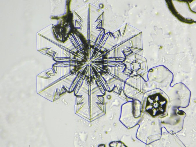
This week’s weather quiz topic was snowfall forecasting. Read on for some background information, the quiz results, and a deep dive into the answer. Continue reading
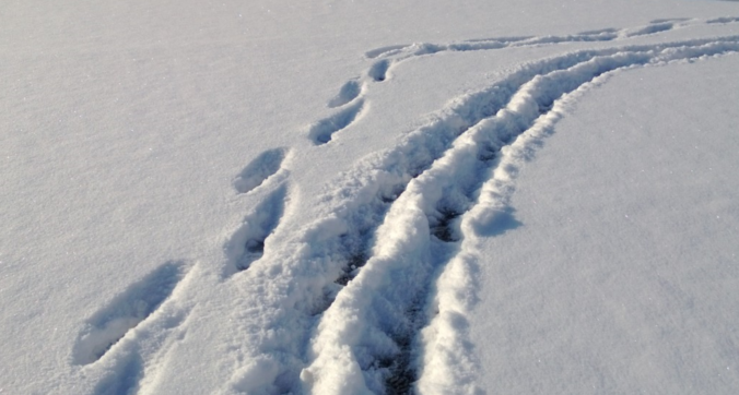
We hope you had a great New Year’s Eve and managed to stay warm! Despite snow falling for more than eightteen hours straight in many locations, it didn’t add up to all that much, or overly impact holiday travel. We review the snow totals from across the Front Range and when the bitter cold will break.

A “perfect storm” of ingredients are coming together across Colorado to produce gusty winds for the Front Range on Wednesday. When will the winds arrive and how strong will they be? Read on to find out. We also discuss snow amounts in the Mountains and our latest thoughts on the potential for a White Christmas in Denver.

The weather this week will be nearly a mirror-image of last week. Quiet conditions statewide early on will fade slowly, with the potential for heavy mountain snow later in the week. Read on for our complete forecast.

Live View of Boulder

Current Conditions

Live Radar

Recent Premium Posts

BoulderCAST Daily – Thu 06/25/26 | On-and-Off Showers and Storms with a Lower Severe Threat
🌩️ Severe setup today but overall threat is much lower than past few …
BoulderCAST Daily – Wed 06/24/26 | Another Day of Severe Weather
🌩️ Severe setup once again today with the threat of very large hail …
BoulderCAST Daily – Tue 06/23/26 | High‑End Hail Threat Targets the Denver Area, with the Risk Lingering into the Overnight
🌩️ Severe setup persists with upslope + strong westerlies aloft + copious moisture/instability …
3-Day Forecast

Trending Content

© 2026 Front Range Weather, LLC