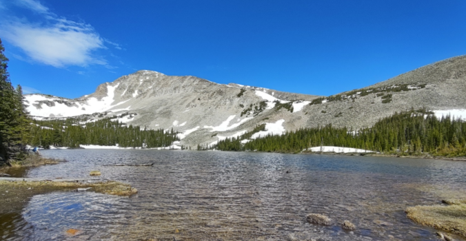
June 2022 began soggy and snowy across the Front Range with a sizable precipitation event getting us off to a good start on the first of the month. However, the rest of the June was largely warm and dry despite an early start to monsoon season in the southwestern United States. Here’s a quick and colorful graphical recap of our weather during June and how it relates to climatology.
Author: BoulderCAST Team (Page 19 of 45)
This post had major contributions from at least two members of our team. The more meteorologists the better, right?
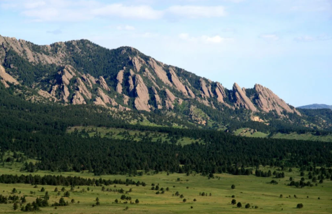
May 2022 began by continuing the dry trend of the months prior, but thankfully was capped off with two soaking precipitation events across the Front Range. The damaging snowstorm May 20th to 21st was one of the biggest ever in Boulder for so late in the season. On the opposite end of the spectrum, there were also 14 days of 80-degree weather during the month — a number way above normal. Here’s a quick and colorful graphical recap of our weather during May and how it relates to climatology.
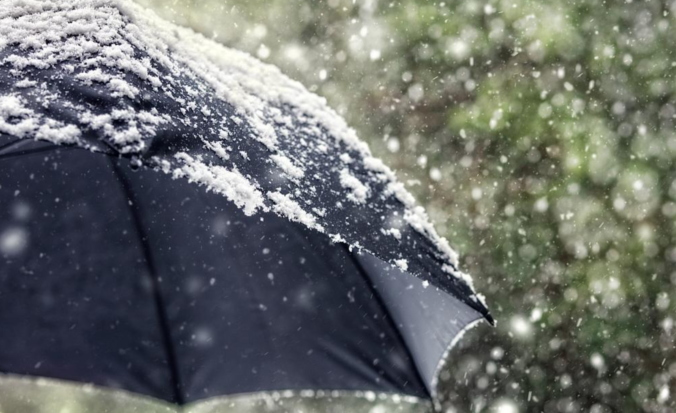
Just when it seemed we had the shortest snow season and earliest last snowfall records in the bag, Mother Nature is about to throw a late-spring wrench into the forecast! A winter storm is heading for Colorado and it will bring snow to everyone Friday into Saturday even across the lower elevations in Boulder and Denver. While the Foothills communities should brace for a major damaging snow event, some crucial aspects of the forecast remain fuzzy which has allowed only low confidence in the exact snow amounts for the immediate Metro area. Let’s take a look at the latest details and go over our preliminary snowfall expectations and impacts.
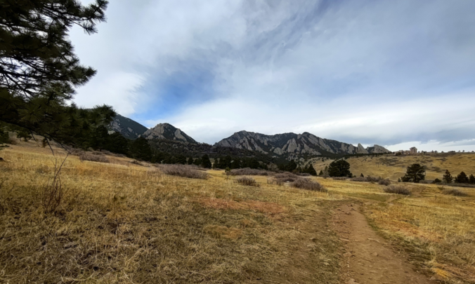
As wet as it was early in 2022, things really dried out fast over the course of March and April. Several grass fires were reported across the state on twenty or more Red Flag days that occurred during the month. When it was all said and done, Boulder had just one day of measurable rainfall in April and no measurable snow at all! Here’s a quick and colorful graphical recap of our weather during April and how it relates to climatology.
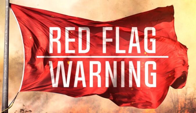
This is an important forecast discussion involving a particularly dangerous situation that will unfold on Friday with extremely explosive fire conditions all day long. We review the atmospheric ingredients leading to such a dire situation and look at just how common days like this are in our climatology (spoiler: it’s very rare).

We’ve got a quick forecast update for you on this beautiful Friday afternoon. You probably have heard already, but it appears that snow will make a return to the Front Range next week— perhaps even in the form of a monster snowstorm if we play our cards right. Let’s take a look at this admittedly still uncertain forecast and what could potentially transpire next week across the area.

Though the weather pattern remained fairly active and snowy, March 2022 broke the short streak of months with above average precipitation in Boulder. The NCAR Fire, which sparked on the 26th, somewhat curbed the community’s positivity about the improving drought situation since the New Year. Here’s a quick and colorful graphical recap of our weather during March and how it relates to climatology.

Live View of Boulder

Current Conditions

Live Radar

Recent Premium Posts

BoulderCAST Daily – Sun 01/11/26 | A mild Sunday with readings reaching the 50s
🌤️ Mild & Melty Sunday: Light winds and patchy clouds, with lingering snowpack …
BoulderCAST Daily – Sat 01/10/26| Widespread sunshine and moderating temperatures this weekend as our recent snow melts off
🌤️ Calm Saturday: Winter storm systems have departed the state, leaving behind a …
BoulderCAST Daily – Fri 01/09/26| Snow ends quickly this morning with a quieter weekend in store
❄️ Overnight snow bands: A second push of upslope after midnight sparked narrow …
3-Day Forecast

Trending Content

© 2026 Front Range Weather, LLC