Author: BoulderCAST Team (Page 17 of 48)
This post had major contributions from at least two members of our team. The more meteorologists the better, right?

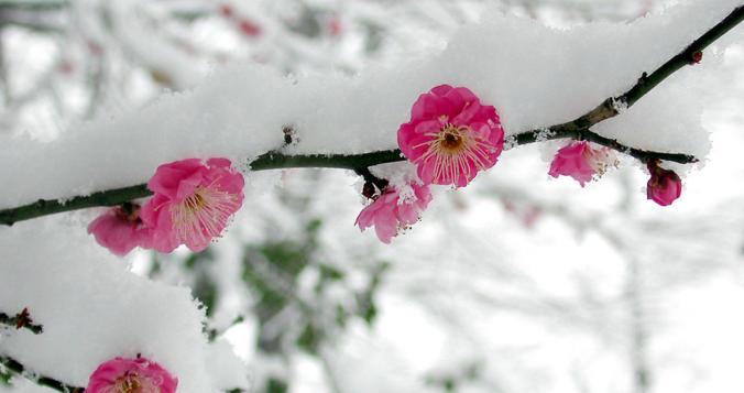
We hope you enjoyed the taste of summer as temperatures soared into the 70s and 80s the last several days because we will be paying for that warmth in short order as much colder temperatures and snowflakes take over the Front Range to end the week. A tricky forecast is set to unfold over the area Friday into Saturday with rain changing to wet spring snow for everyone. Up to 10″ could fall in the higher Foothills communities with even slushy accumulations on the table for the Denver-Boulder area. Let’s discuss the latest on the approaching winter storm.

Despite persistent and exceptionally cold weather, March has under-delivered on snow thus far with less than 2″ falling in Boulder since late February. More snow and cold is on the way Sunday night into Monday, but once again it looks to be another meager showing of snow. As of writing, uncertainty remains regarding exactly what will transpire with this event as a band of heavy snow may develop early Monday somewhere across the northern Front Range. Let’s take a look at the timing of everything, the most likely snowfall amounts, and the potential travel impacts as winter weather returns for the last Monday of March.
February 2023 was a chilly exclamation point on what was ultimately Boulder’s 2nd coldest winter in 30 years and the coldest since 2010. This very icy status was solidified by one of the most pronounced late February cold snaps on record. Here’s a quick and colorful graphical recap of our weather during February and how it relates to climatology.

Live View of Boulder

Current Conditions

Live Radar

Recent Premium Posts

BoulderCAST Daily – Wed 06/24/26 | Another Day of Severe Weather
🌩️ Severe setup once again today with the threat of very large hail …
BoulderCAST Daily – Tue 06/23/26 | High‑End Hail Threat Targets the Denver Area, with the Risk Lingering into the Overnight
🌩️ Severe setup persists with upslope + strong westerlies aloft + copious moisture/instability …
BoulderCAST Daily – Sun 06/21/26 | First Notable Smoke Plume Arrives for the First Day of Summer
🌫️ Smoky skies return: A large wildfire in Utah has smoke surging into …
3-Day Forecast

Trending Content

© 2026 Front Range Weather, LLC