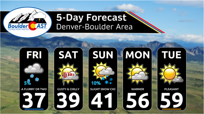
Most of the week ahead in the Front Range will feature dry weather with well above normal temperatures for early December. However, we are closely tracking our next storm system set to arrive on Friday with much colder temperatures returning alongside a good chance of snowflakes. Read on for the latest details on what should be yet another spirited week in Colorado weather!
Author: Ben Castellani (Page 59 of 303)
Ben grew up in southwestern Pennsylvania and holds both a bachelor's and a master's degree in Meteorology, the latter being from CU Boulder. His hometown received nearly three feet of snow from the Storm of the Century back in March of 1993, sparking his initial interest in impactful weather. Ben currently works on remote sensing and data analysis software at NV5 Geospatial Software in Boulder.
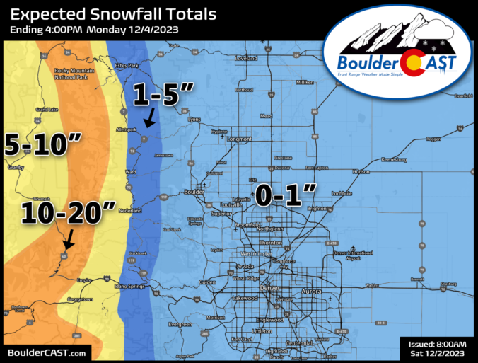
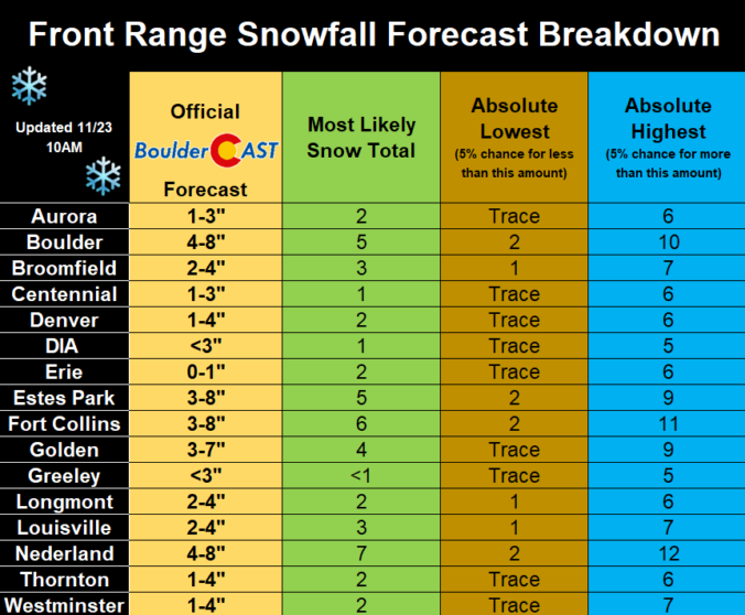
The day of giving thanks and eating delicious food is nearly upon us, and whether you are ready or not, so too are the snowflakes which will make a return to the entire Front Range beginning Thursday afternoon and evening with snowflakes staying in the forecast into Saturday. Temperatures will also plummet well below freezing the next few days. We discuss the timing of the snow, the expected snowfall totals for everyone and when travel may be most impacted.
Update (Thu 11/23 7AM): Ensembles have cut back on snow amounts by about 20%, so we’ve decreased snow amounts accordingly. The biggest snow totals from this storm are still expected to be around Boulder, with much lower impacts elsewhere in the Metro area.

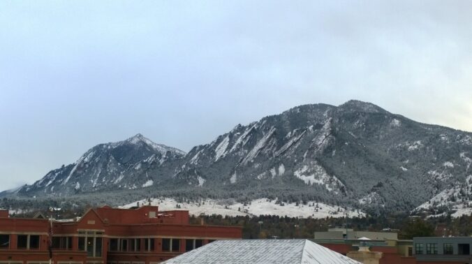
Live View of Boulder

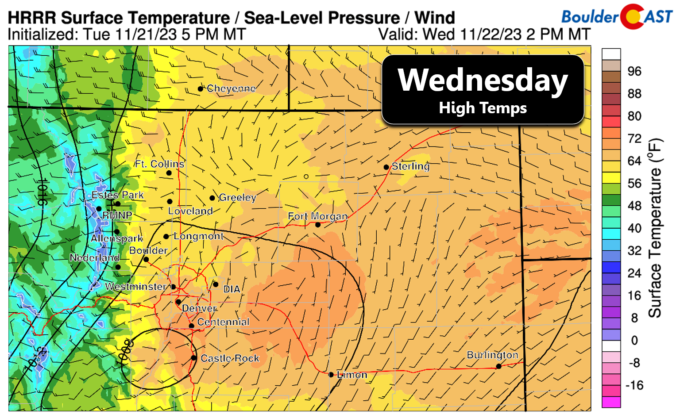
Current Conditions

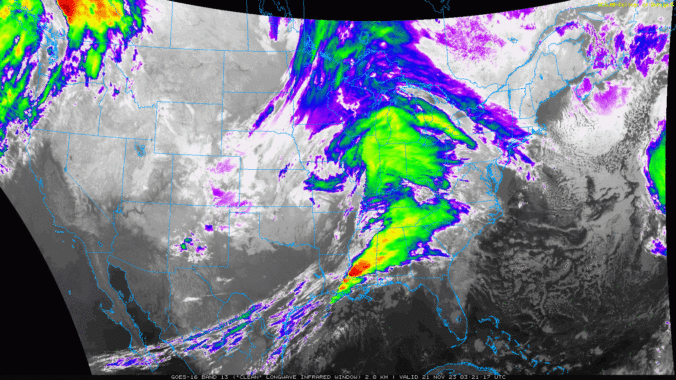
Live Radar

Recent Premium Posts

BoulderCAST Daily – Sun 05/31/26 | Dry and warm today but rain chances increase this week
🌦️ Overall dry and warm Sunday, though cannot rule out a very widely …
BoulderCAST Daily – Sat 05/30/26 | A stray shower today as most activity resides well east of Denver
🌦️ Spotty showers today, mainly well east of the Denver Metro area, where …
BoulderCAST Daily – Fri 05/29/26 | A Marginal Risk of Severe Isolated Storms
🌦️ Spotty showers this afternoon, mainly noon and 4 PM, with highs in …
3-Day Forecast

Trending Content

© 2026 Front Range Weather, LLC