Author: Ben Castellani (Page 257 of 301)
Ben grew up in southwestern Pennsylvania and holds both a bachelor's and a master's degree in Meteorology, the latter being from CU Boulder. His hometown received nearly three feet of snow from the Storm of the Century back in March of 1993, sparking his initial interest in impactful weather. Ben currently works on remote sensing and data analysis software at NV5 Geospatial Software in Boulder.
We recap the storm that dumped our desperately-needed inaugural snow of the season, and announce the winners of our “First Snow” Contest!
We’re currently about one week away from setting the record for our latest first snowfall in a season. It’s likely a lost cause, though. Following two days of incredible November heat, it finally appears that winter will make a tiny breakthrough and produce a little bit of snow for the Front Range tomorrow afternoon and evening. Read on for all the details and to see our final forecast snow map.

With our last measurable precipitation occurring nearly four weeks ago, enough is enough. After enduring a few days of near-record heat to start the week, our focus will shift to a potent storm system approaching Colorado on Thursday. Though uncertainty remains elevated, the Plains do have a chance of seeing their first accumulating snowfall of the 2016-17 season. Read on for all the details.

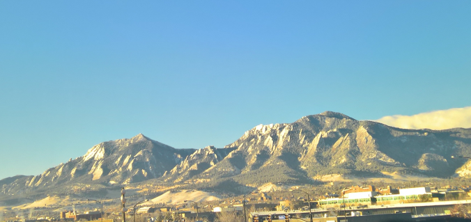
Live View of Boulder

Current Conditions

Live Radar

Recent Premium Posts

BoulderCAST Daily – Sun 05/10/26 | Cooler today but the 80s are not far behind
☀️ Sunshine and pleasant temperatures with upper 60s for our Sunday 🌡️ Trending …
BoulderCAST Daily – Sat 05/09/26 | Watching some late-day showers ahead of a cold front tonight
🌧️ Scattered showers this afternoon and evening ahead of a cold front setting …
BoulderCAST Daily – Fri 05/08/26 | Warmer weather takes hold
☀️ Warmer and calmer skies ahead: Expect lots of sunshine from the upper …
3-Day Forecast

Trending Content

© 2026 Front Range Weather, LLC