

Author: Ben Castellani (Page 178 of 358)

Ben grew up in southwestern Pennsylvania and holds both a bachelor's and a master's degree in Meteorology, the latter being from CU Boulder. His hometown received nearly three feet of snow from the Storm of the Century back in March of 1993, sparking his initial interest in impactful weather. Ben currently works on remote sensing and data analysis software at NV5 Geospatial Software in Boulder.

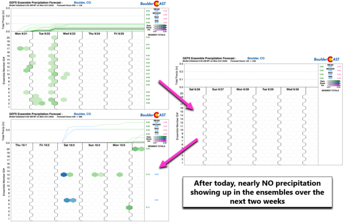
BoulderCAST Daily – Wed 09/23/20 | The beginning of a long dry stretch

LDetailed Forecast Discussion: ittle change is expected in our weather for the first full day of autumn. Relatively warm and dry west-northwesterly flow is situated across Colorado. Meanwhile, a strong Pacific storm system is coming ashore into the Pacific Northwest. This system will move eastward and could bring a dry cold front through our area sometime Saturday leading to a …

BoulderCAST Daily – Tue 09/22/20 | A summer-like start to autumn

TDetailed Forecast Discussion: he first (half) day of autumn will feel like anything but as large-scale high pressure continues to control our weather. Unseasonably warm temperatures will be the story again with highs in the middle 80's, similar to yesterday. Also not unlike a typical summer day, there will be a slight chance of afternoon and evening showers spreading eastward …

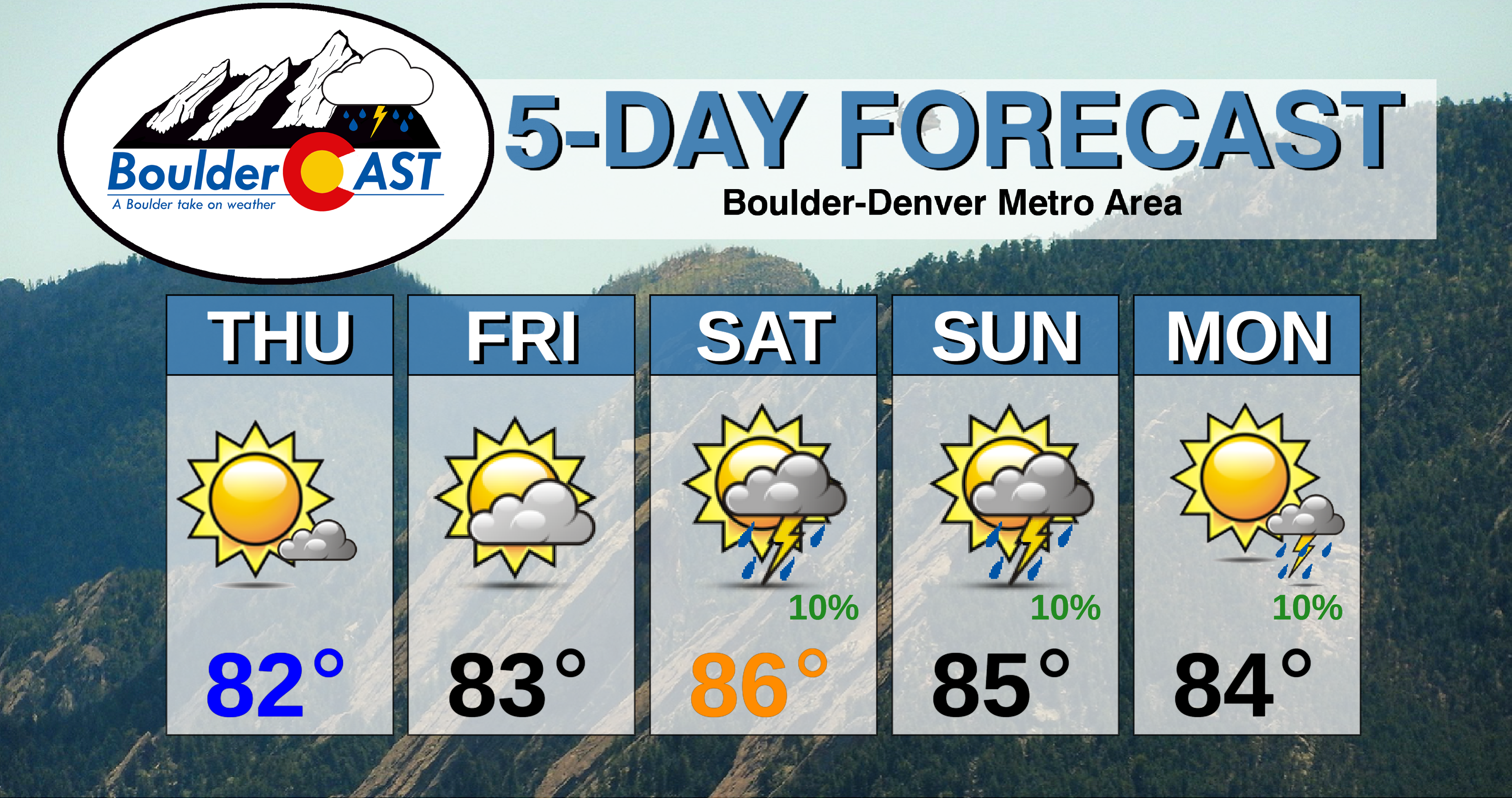
BoulderCAST Daily – Thu 09/17/20 | Warm and mostly dry the next five days

RDetailed Forecast Discussion: idging aloft is still with us again today. The two centers of the high pressure are located to our south and west with a ridge axis extending up the spine of the Rockies into western Canada. This is shown in the GFS 500mb height anomaly forecast map below for mid-day today. This "ridgy" set-up will be present …

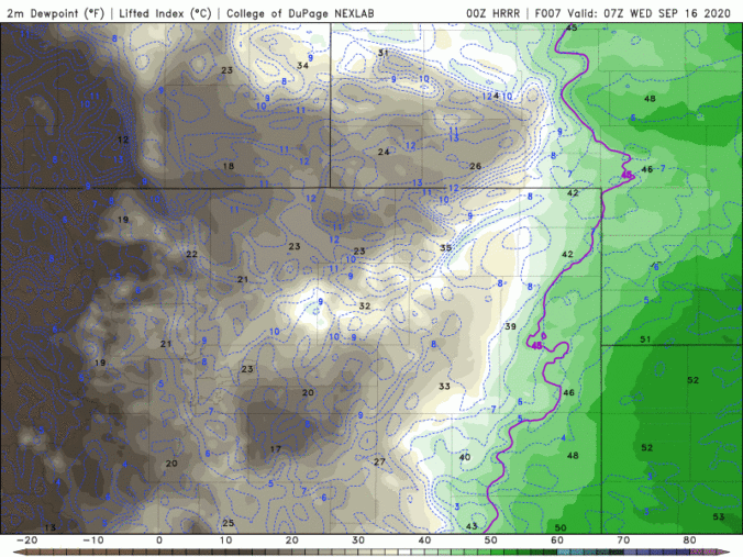
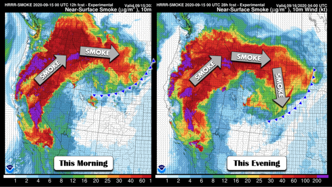
BoulderCAST Daily – Wed 09/16/20 | Thick low-level smoke behind a cool front

IDetailed Forecast Discussion: f you thought the smoke and air quality were bad yesterday, you're really not going to like today's forecast... A cool front is pushing through the area this morning with low-level winds turning northeasterly across the lower elevations. The front is so shallow and weak that it's hard to pick out in the models or even surface …

BoulderCAST Daily – Tue 09/15/20 | Simply sunny, but increasing smoke

TDetailed Forecast Discussion: he typical high in Boulder on the Ides of September is 75°F. We will be considerably warmer than this today under a dominant ridge of high pressure and sunny skies. The large-scale pattern across the United States today is shown in the graphic below. Outside of Hurricane Sally, high pressure controls most of the continental United States, …

BoulderCAST Daily – Thu 09/10/20 | Mostly cloudy with isolated flurries/sprinkles

TDetailed Forecast Discussion he pesky upper-low continues to spin across southeastern Utah and slowly fill. The term "fill" is something we use to describe a weakening storm system that is literally "filling with air" causing the pressure of the low to rise and thus weaken. GOES-East water vapor imagery shows the rather stagnant storm system to our west. This remnant …

« Older posts Newer posts »