


Author: Ben Castellani (Page 179 of 358)
Ben grew up in southwestern Pennsylvania and holds both a bachelor's and a master's degree in Meteorology, the latter being from CU Boulder. His hometown received nearly three feet of snow from the Storm of the Century back in March of 1993, sparking his initial interest in impactful weather. Ben currently works on remote sensing and data analysis software at NV5 Geospatial Software in Boulder.


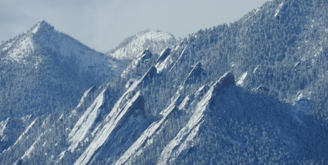
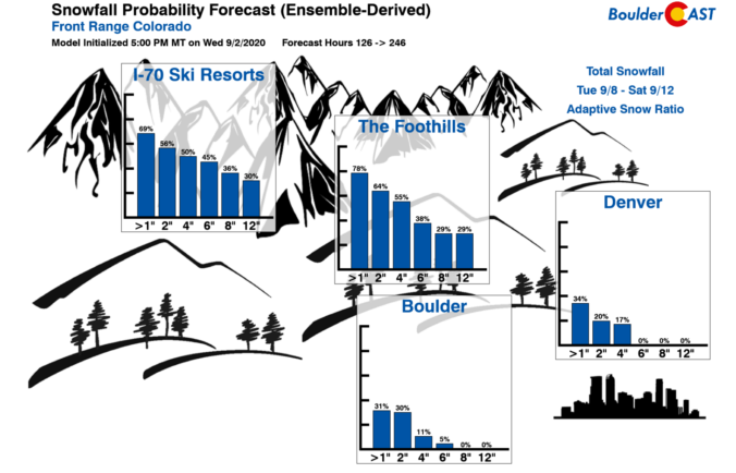
Brace for impact! The highly-anticipated early-season storm is confirmed at this point with widespread heavy wet snow expected across the entire Front Range region late Monday night into Tuesday night. We still have our concerns about how much snow will actually stick given the situation. It’s still summer after all! Nonetheless, read on for our in-depth snowfall forecast discussion and map.
PREMIUM WINTER STORM VIDEO UPDATE (10:00 AM Mon 09/07/20): Our early season winter storm remains on-track. We take a look at the latest model runs and discuss the wild weather about to unfold across the Front Range in the next 12 to 48 hours. Click HERE to watch our 40-minute video discussion.

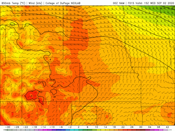
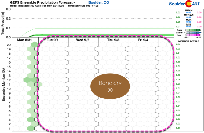
It’s hard to believe that we could go from sizzling record heat to snow in a little under 36 hours, but that is just what most weather models are indicating early next week! A major autumn storm system is progged to drop southward putting a giant, bitter cold bullseye right along the lee of the Rockies. With this strong and cold early-season storm system, a period of intense lift and upslope will likely unfold across the Front Range producing widespread rain showers and even the threat of snow all the way down to the lower elevations of the Boulder-Denver area. Needless to say, it’s definitely going to be an interesting forecast heading into early next week! Let’s talk about it….
Live Radar

Trending Content


Recent Premium Posts

This Weekend in Colorado Weather: The Quiet Pattern Ends as Storm Activity Picks Up Across the West
After weeks of sunshine, mild afternoons, and storm systems repeatedly missing Colorado to …
BoulderCAST Daily – Wed 11/11/26 | Mild Days Ahead, But There Are Signs of a More Active November Soon
☀️ Warm & Quiet — Sunshine dominates through Thursday with highs rising from …
BoulderCAST Daily – Tue 11/10/26 | Clouds Increase Today, But Colorado’s Dry Pattern Rolls On
🌤️ A Few More Clouds Today – Mountain wave clouds are developing along …
© 2026 Front Range Weather, LLC