

Author: Ben Castellani (Page 146 of 358)

Ben grew up in southwestern Pennsylvania and holds both a bachelor's and a master's degree in Meteorology, the latter being from CU Boulder. His hometown received nearly three feet of snow from the Storm of the Century back in March of 1993, sparking his initial interest in impactful weather. Ben currently works on remote sensing and data analysis software at NV5 Geospatial Software in Boulder.
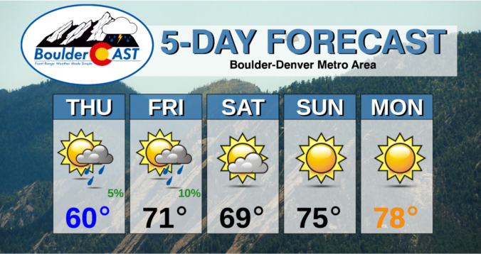
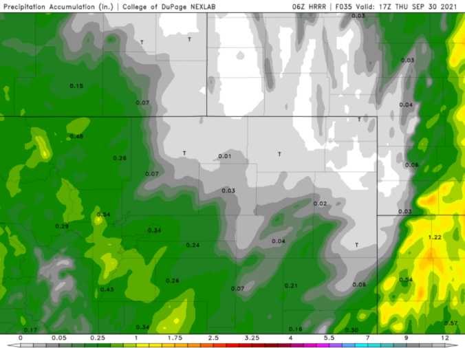
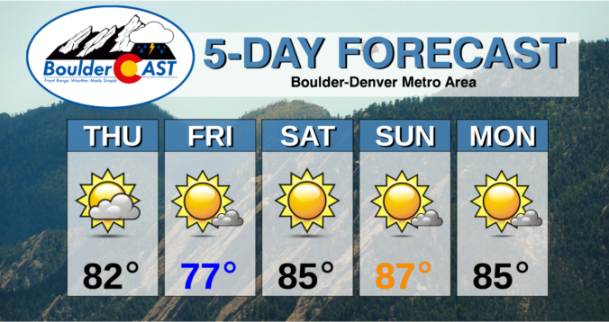
BoulderCAST Daily – Thu 09/30/21 | Staying cool today with A.M. sprinkles, but a gorgeous weekend is shaping up

TDetailed Forecast Discussion: he entire Front Range from Cheyenne to Colorado Springs picked up some rainfall yesterday as a rather contiguous line of showers spread from west to east across the region. This was the radar view from around 3PM on Wednesday. This line of light to moderate rain showers produced generally 0.1 to 0.5" of rainfall for the entire …

BoulderCAST Daily – Wed 09/29/21 | Cloudy with falling temperatures & rain showers

BDetailed Forecast Discussion: ig weather changes are underway right now as we transition from the warm sunshine of yesterday to cooler and gloomier weather today. This drastic shift is tied to a deep trough of low pressure across the western United States, with the base of the trough digging all the way into portions of Mexico. Over the coming days …

BoulderCAST Daily – Tue 09/28/21 | One last summer-like day before temperatures begin to tumble tonight

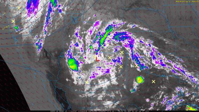
ADetailed Forecast Discussion: small cut-off low pressure system sits along the Colorado-New Mexico border this morning, with wrap-around moisture flowing into the state of Colorado. This low will weaken, move northeastward and eventually get absorbed by a larger trough moving from the Pacific Northwest into the Rockies tomorrow. Under this setup, showers and thunderstorms will be commonplace across the state …

BoulderCAST Daily – Thu 09/23/21 | 80’s with clouds and sun today, cooler tomorrow but heating right back up for the weekend

TDetailed Forecast Discussion: he ridge axis continues to shift eastward today as a trough in the Pacific Northwest approaches Colorado. Notice the clouds streaming in ahead of the trough in the GOES-East water vapor animation below. Early this morning, a few wave clouds are noted east of the Divide over the Denver area. At 500mb in the atmosphere, we can …

BoulderCAST Daily – Wed 09/22/21 | A cold morning, but warming up fast on this first day of autumn

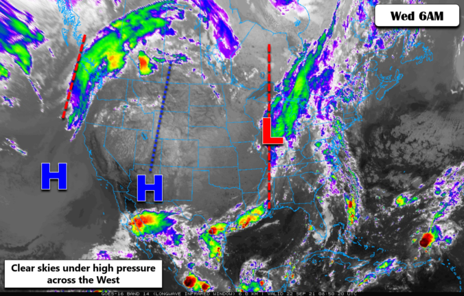
ADetailed Forecast Discussion: ll is quiet across Colorado this morning, though we are starting out chilly again around the Denver Metro area. Some portions of northern Colorado are actually colder this morning than yesterday, mostly because the atmosphere has dried out further allowing temperatures to plummet without patchy fog developing. Several locations are nearing frost territory this morning, but generally …

BoulderCAST Daily – Tue 09/21/21 | Pleasantly cool for the last day of summer, warmer the rest of the week

WDetailed Forecast Discussion: e're starting out very chilly this morning with temperatures is the upper 30's to lower 40's across the Denver Metro area. Going up in elevation, temperatures drop below freezing in places like Nederland and Allensark. Most of Colorado is in store for another cool but pleasant overall day as the potent trough continues to trek eastward and …

This week in Colorado weather: September 20, 2021

Seasonal change is ongoing across Colorado as of early Monday morning with a blustery Pacific storm system plowing across the state. Snow is falling in the Mountains with some rain across the Denver area, too. This storm system will usher in much cooler temperatures to start the week. However, warmer weather will return by Wednesday (the first official day of fall!) and continue into the upcoming weekend. For those of you hoping for snow, no news is bad news we surmise. Let’s take a look at the outlook for the weather week ahead.

Continue reading

« Older posts Newer posts »