Author: Ben Castellani (Page 147 of 358)

Ben grew up in southwestern Pennsylvania and holds both a bachelor's and a master's degree in Meteorology, the latter being from CU Boulder. His hometown received nearly three feet of snow from the Storm of the Century back in March of 1993, sparking his initial interest in impactful weather. Ben currently works on remote sensing and data analysis software at NV5 Geospatial Software in Boulder.
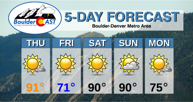
BoulderCAST Daily – Thu 09/16/21 | Near-record heat today, much cooler tomorrow, & a taste of autumn early next week

ADetailed Forecast Discussion: nother mostly sunny day is expected today as dry and hot southwest flow continues to rule to roost in the atmosphere over Colorado under weak high pressure. A sharp and largely dry trough is moving across the far northern Rockies today. This trough will be responsible for the cold front moving into our area late tonight. For …

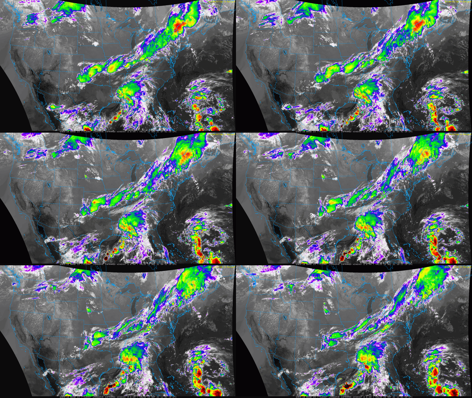
BoulderCAST Daily – Wed 09/15/21 | Sun, sun, & more sun the rest of the week!

YDetailed Forecast Discussion: esterday's severe weather threat did verify south of Denver near Colorado Springs and La Junta where hail and damaging winds were reported. In the wake of yesterday's shortwave trough, clear skies are noted across the entire southwestern quarter of the country where beautiful weather will unfold the next few days, including across the Front Range. This clearing …

BoulderCAST Daily – Tue 09/14/21 | Scattered severe storms, mainly south and east of Denver

IDetailed Forecast Discussion: solated showers and thunderstorms are moving from west to east across the Front Range early this morning. They are few and far between for the most part, but don't be surprised to see a brief shower through the morning. The latest radar animation is shown below. These few showers are forced mainly by an overhead jet streak. …

BoulderCAST Daily – Thu 09/09/21 | Two days of smoky skies & record high temperatures, then slightly cooler with some rain over the weekend

⦁❶⦁ High pressure located in southwestern Colorado continues to dominate the western half of the country

⦁❷⦁ Record highs are almost guaranteed for our area Thursday and Friday in the middle to upper 90’s

⦁❸⦁ Thick smoke will remain across the area through Friday evening but could lighten up on Saturday

⦁❹⦁ A weak cold front will bring our temperatures down a little this weekend with isolated late-day rain showers
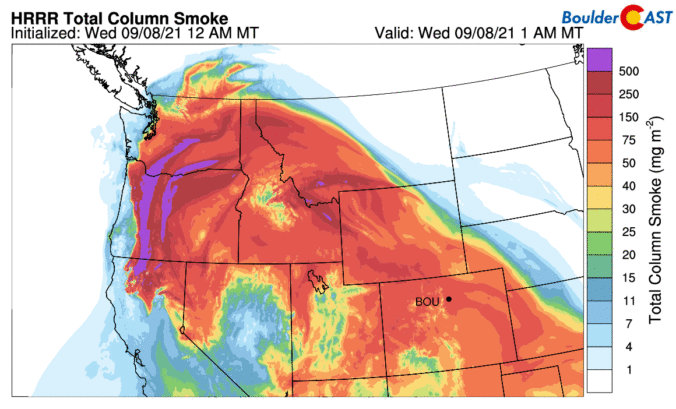
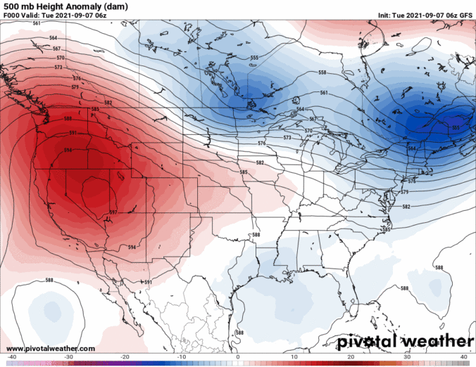
Continue reading

BoulderCAST Daily – Wed 09/08/21 | Thick smoke remains socked in, record heat all but guaranteed for Thursday & Friday

TDetailed Forecast Discussion: he blocking and stagnant ridge pattern remains across the western half of the country today, with a big trough over the Great Lakes and East. This high pressure is well-formed and very large with a center located near the Four Corners region. This ridge will move just a little through Friday with temperatures on the rise for …

BoulderCAST Daily – Tue 09/07/21 | Smokier & cooler, but record heat still on-track later in the week

ODetailed Forecast Discussion: ne year ago today we were getting ready for a 60-degree temperature drop and the earliest measurable snowfall ever in Boulder's recorded history. This wild week in weather from September 2020 is summarized in the graphic below. Whether you like it or not, this year we're not talking about snow for today, though a weak cold cold …

BoulderCAST Daily – Thu 09/02/21 | Isolated late day storms today & Friday, then we dry out for a while

TDetailed Forecast Discussion: he passage of Nora's remnant tropical moisture was probably a bit underwhelming for most, though the rain in Boulder yesterday was the first we'd seen in an entire week. The graphic below shows precipitation totals from yesterday and overnight. As expected, just a few spits of rain were reported across the lower elevations around Denver and Boulder, …

« Older posts Newer posts »