
It’s hard to believe that we could go from sizzling record heat to snow in a little under 36 hours, but that is just what most weather models are indicating early next week! A major autumn storm system is progged to drop southward putting a giant, bitter cold bullseye right along the lee of the Rockies. With this strong and cold early-season storm system, a period of intense lift and upslope will likely unfold across the Front Range producing widespread rain showers and even the threat of snow all the way down to the lower elevations of the Boulder-Denver area. Needless to say, it’s definitely going to be an interesting forecast heading into early next week! Let’s talk about it….
Author: Ben Castellani (Page 145 of 301)
Ben grew up in southwestern Pennsylvania and holds both a bachelor's and a master's degree in Meteorology, the latter being from CU Boulder. His hometown received nearly three feet of snow from the Storm of the Century back in March of 1993, sparking his initial interest in impactful weather. Ben currently works on remote sensing and data analysis software at NV5 Geospatial Software in Boulder.
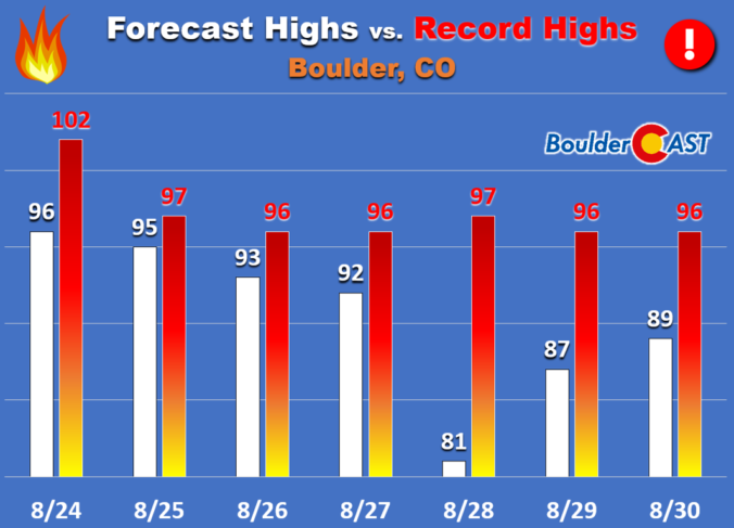
We’ve got no record heat to discuss this time with a cooler pattern taking hold to end the month of August. After Monday’s chance of rain, it will be mainly dry and sunny the rest of the week with temperatures fluctuating up and down. Read on for our complete forecast of the week ahead.
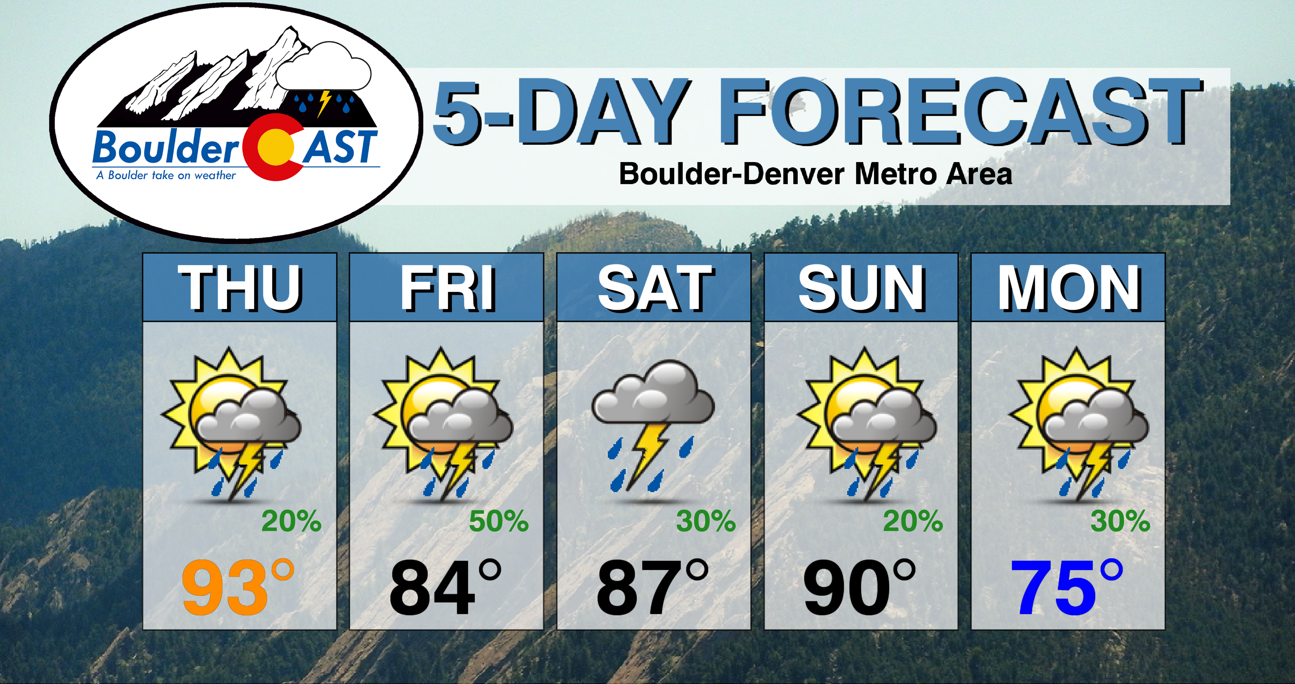
⦁❶⦁ One last hot day is expected before a cold front arrives tonight
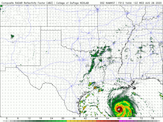
⦁❷⦁ Widely scattered thunderstorms develop this afternoon, highs in the low to middle 90’s
⦁❸⦁ A better chance of rain tomorrow with cooler temperatures in the 80’s
⦁❹⦁ Watching a more significant cooldown early next week. Could we see highs in the 60’s?

Live View of Boulder

Current Conditions

Live Radar

Recent Premium Posts

BoulderCAST Daily – Sun 05/03/26 | Beautiful weather will transition to late-spring snow by Tuesday!
☀️ Warm Start: Expect a quiet and pleasant start to the week, with …
BoulderCAST Daily – Sat 05/02/26 | A pleasant and warm first weekend in May
☀️Warming up for the first weekend in May, with upper 60s to near …
BoulderCAST Daily – Fri 05/01/26 | Warming up this weekend
🌡️ Warming up this weekend, from the upper 50s-60 today to the upper …
3-Day Forecast

Trending Content

© 2026 Front Range Weather, LLC