Author: Ben Castellani (Page 142 of 301)
Ben grew up in southwestern Pennsylvania and holds both a bachelor's and a master's degree in Meteorology, the latter being from CU Boulder. His hometown received nearly three feet of snow from the Storm of the Century back in March of 1993, sparking his initial interest in impactful weather. Ben currently works on remote sensing and data analysis software at NV5 Geospatial Software in Boulder.

It will feel like August, not October, this week as the same old pesky ridging pattern holds across the western United States. As a result, we’ll largely see a continuation of dry and unseasonably warm weather across the Front Range as many days flirt with record high temperatures. Read on for our complete outlook of the week ahead, including discussion of when our next chance of precipitation may edge into the forecast.
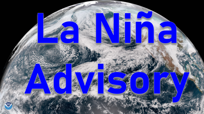
For the first time in three years, La Niña conditions have developed and are expected to last through the upcoming winter. We discuss the forecast, remind you what La Niña actually is, and explain the potential impacts La Niña will have on Colorado for the rest of autumn. If you like pie charts, box-and-whisker graphs and/or 3-D representations of ocean temperatures, this post is most definitely for you!

Live View of Boulder

Current Conditions

Live Radar

Recent Premium Posts

BoulderCAST Daily – Sun 05/03/26 | Beautiful weather will transition to late-spring snow by Tuesday!
☀️ Warm Start: Expect a quiet and pleasant start to the week, with …
BoulderCAST Daily – Sat 05/02/26 | A pleasant and warm first weekend in May
☀️Warming up for the first weekend in May, with upper 60s to near …
BoulderCAST Daily – Fri 05/01/26 | Warming up this weekend
🌡️ Warming up this weekend, from the upper 50s-60 today to the upper …
3-Day Forecast

Trending Content

© 2026 Front Range Weather, LLC