Author: Ben Castellani (Page 122 of 301)
Ben grew up in southwestern Pennsylvania and holds both a bachelor's and a master's degree in Meteorology, the latter being from CU Boulder. His hometown received nearly three feet of snow from the Storm of the Century back in March of 1993, sparking his initial interest in impactful weather. Ben currently works on remote sensing and data analysis software at NV5 Geospatial Software in Boulder.

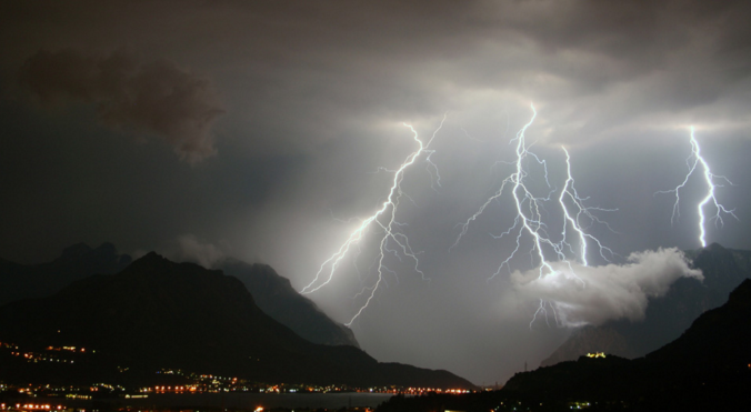
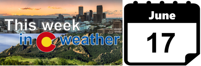
As you know, thunderstorms are usually a staple of summer in Colorado! Almost every day, monsoon moisture boils up into dark early afternoon clouds, some of which produce deadly cloud-to-ground lightning. We briefly review a few statistics and remind you that Colorado is ranked near the top of the list for lightning-related fatalities for a reason.

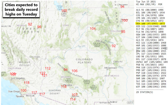
BoulderCAST Daily – Tue 06/15/21 | Despite increasing smoke, triple digits possible today & tomorrow
The heat is on this week as an anomalous ridge of high pressure dominates our weather pattern. Temperatures will soar into the upper 90’s to low 100’s most of the week, but a cooldown is in the pipeline. Let’s take a look at the outlook for the week ahead, what potential records could be shattered, and when the heatwave is expected to break.

If you can believe it, Friday’s high temperatures was only in the 70’s across the lower elevations. What a gorgeous day! However, the brief cooldown will quickly be replaced by yet another heatwave in Front Range Colorado. This one will be stronger and longer than the last. Let’s discuss just how hot it will get, our concerns about new wildfires, and when the heatwave may finally relax.

Live View of Boulder

Current Conditions

Live Radar

Recent Premium Posts

BoulderCAST Daily – Fri 05/01/26 | Warming up this weekend
🌡️ Warming up this weekend, from the upper 50s-60 today to the upper …
BoulderCAST Daily – Tue 04/28/26 | Staying cool with a couple showers, the late-week storm is still the main event despite trending south
🌧️ Morning wave = main show, with light rain showers and Foothills wet …
BoulderCAST Daily – Sun 04/26/26 | Showers and some storms later today and this evening
🌧️ A wet afternoon and early evening, with showers and a few rumbles …
3-Day Forecast

Trending Content

© 2026 Front Range Weather, LLC