Author: Ben Castellani (Page 10 of 358)

Ben grew up in southwestern Pennsylvania and holds both a bachelor's and a master's degree in Meteorology, the latter being from CU Boulder. His hometown received nearly three feet of snow from the Storm of the Century back in March of 1993, sparking his initial interest in impactful weather. Ben currently works on remote sensing and data analysis software at NV5 Geospatial Software in Boulder.
Premium BoulderCAST Daily – Wed 07/08/26 | The Front Range Has Broken Out of the Haze — Storms Fire After Noon

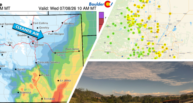
AThe Sky Is Supposed to Be Blue? s promised, smoke has finally loosened its grip on the Front Range. With a cleaner westerly push taking over through the night, visibility and air quality have improved dramatically since yesterday — a reminder that yes, the sky is still blue.   Current PM2.5 Air Quality looks better, though not perfect with some …

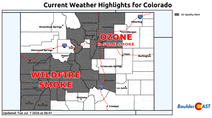
Premium BoulderCAST Daily – Tue 07/07/26 | Smoke, Storms & the Looming Heat Dome

GSmoke, Visibility & Air Quality ood Tuesday morning! The smoke is once again draped thick across the Front Range this morning as several large upstream fires continue pumping high‑level and near‑surface smoke directly into our area. The Foothills are barely discernible from Denver, and the higher peaks are completely swallowed up in the haze. PM2.5 concentrations are currently worst in …

Premium BoulderCAST Daily – Wed 07/01/26 | Colorado’s Fire Weather Problem Isn’t Going Anywhere Yet

We squeezed out a few brief showers and weak thunderstorms yesterday — almost exclusively north of Interstate 70, exactly where the guidance said the meager instability would be. https://twitter.com/BoulderCAST/status/2072079728912285741 Rainfall totals were trivial: most spots picked up only a few hundredths of an inch at best. A smattering of lightning strikes did occur (purple dots below), but thankfully none of …

Premium BoulderCAST Daily – Tue 06/30/26 | A Tease of Rain Amid Critical Fire Weather and Continued Smoke

Warm temperatures and smoky skies will hang on through the week across the Front Range, but Mother Nature at least throws us a small meteorological bone today: a non‑zero chance of actual precipitation. Yes, really — the atmosphere might squeeze out a few renegade drops this afternoon as a compact shortwave embedded within the broader western trough slides from near …

This Week in Colorado Weather: June 29, 2026

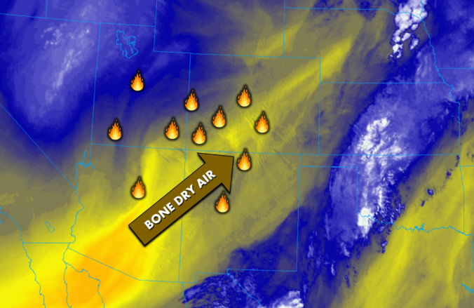
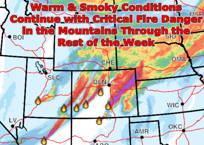
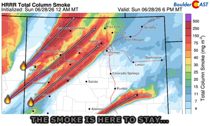
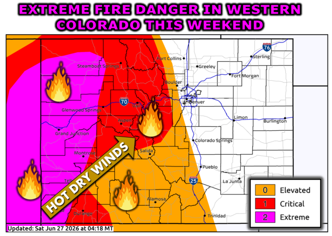
The last weekend of June didn’t just sizzle — it erupted. As a powerful early‑summer trough carved into the Great Basin, the Southwest lit up with new fires and thick smoke thanks to some of the most volatile atmospheric conditions we’ve seen this season. Colorado wasn’t spared, either: several fast‑growing fires ignited across the Western Slope and Mountains, sending plumes straight into the Front Range. And with a stubborn dipole pattern locking in place across the nation, the week ahead promises more wind, more dryness, and more smoke — plus a few twists in the forecast you’ll want to keep an eye on. Let’s break down what’s driving this outbreak, what it means for the Boulder–Denver corridor, and when relief may finally arrive.
Continue reading

Premium BoulderCAST Daily – Sun 06/28/26 | Another 90° Day—And More Smoke is on the Way

YHot & Smoky Weather Continues esterday’s extreme fire‑weather conditions across the drought‑stricken Four Corners produced several new large ignitions spanning Utah, western Colorado, Arizona, and New Mexico. By sunset, a dense mid‑level smoke wall became visible west of Boulder — an unmistakable brown cloud advancing toward the Front Range. https://twitter.com/BoulderCAST/status/2071067409616973881 Shortly after dark, that smoke mixed down to the surface, …

Premium BoulderCAST Daily – Sat 06/27/26 | A Hot & Dry First Weekend of Summer as Extreme Fire Danger Unfolds in Colorado’s Mountains

HGoodbye Storms... Hello Heat & Fire Danger appy Saturday, folks! The past week has delivered a remarkably persistent convective regime across eastern Colorado, with daily severe thunderstorm development anchored by a stagnant, moisture‑rich pattern. From last Saturday through Friday, the environment repeatedly reloaded with ample low‑level moisture, steep lapse rates, and favorable shear, allowing at least a few storms each …

« Older posts Newer posts »