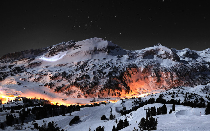
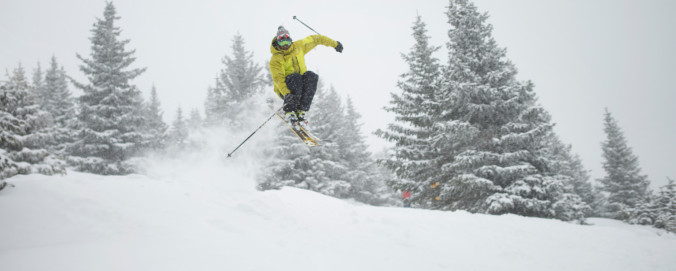
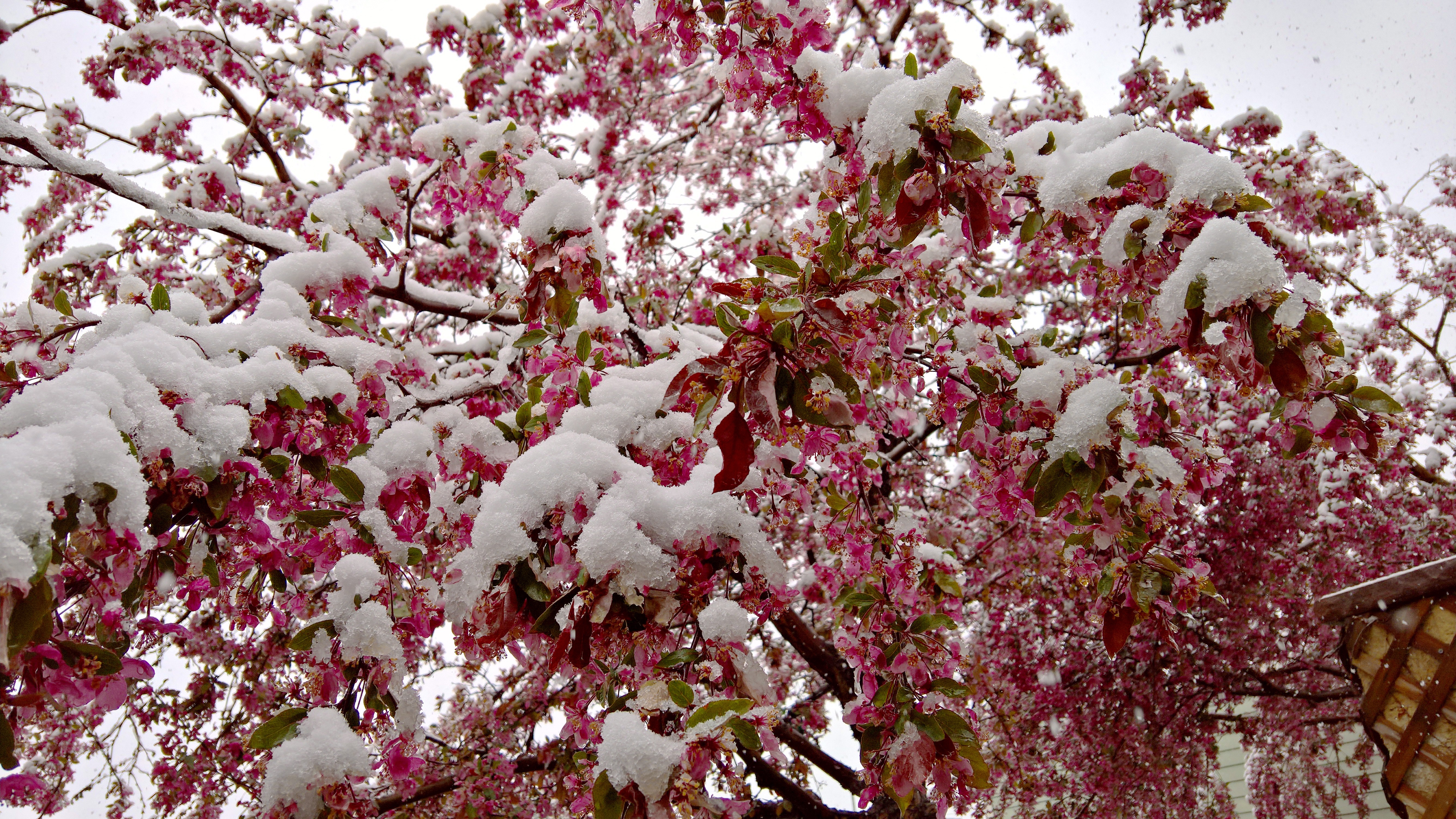
Thanks to everyone who entered our “First Snow” contest. We briefly review the entries, which surprisingly follow closely with Boulder’s climatology.
Tag: winter (Page 7 of 14)
With a bulk of this winter’s snowfall now behind us, we’d like to take a moment to review the outcomes of our snowfall forecasts. From the early-season storm that flew completely under the radar, to the epic blizzards in late February and mid-March, it was a great year for powder across the Front Range! From the good, to the bad, to the downright ugly, we crunch the numbers to see how well our snowfall forecasts verified throughout the Denver Metro area across the entire winter season.

After an historic snow storm produced 18″ in Boulder and up to 45″ in the nearby Foothills over the weekend, our attention turns to the week ahead. Highlights include a cold and dreary first few days, with a warming trend and gorgeous weather by week’s end. In fact, highs look to return back to the 70’s by Friday. Read on for our full forecast for the upcoming week.
After much hype, Mother Nature delivered a mid-April wallop of snow to northeast Colorado this weekend. Some of us fared (much) better than others, but just about everyone got in on the action. We review the good and bad of our forecast and check in on the health of our mountain snow pack.
We’ve been tracking the storm very closely over the last week. With forecast temperatures trending down over the last several days, the threat of potentially flooding rain has morphed into the concern for a dumping of heavy, wet spring snow for everyone across the Front Range. Read on as we present our final forecast for this historic storm.
After a smattering of rain last night, cool and dreary weather will prevail on Monday. However, we’ll warm back up and (mostly) dry out in no time. For the end of the week, we’re monitoring the arrival of a powerful weather system which will likely bring rain and snow back into the picture for the weekend. Read on for our full outlook for the week ahead.
We’re currently tracking a spring storm set to arrive to eastern Colorado Sunday night. It has the potential to bring significant snowfall to parts of the area. The track has remained consistent for several days now, and the models seem to be converging on a common solution. As such, confidence is increasing and we’re here to outline what we know so far and what to expect to end the weekend.

We hope you had a wonderful weekend. Whether you were skiing up in the mountains or biking/hiking in the Foothills, the weather was perfect for all outdoor activities! The warming trend continues today, but takes a slight reprieve by midweek with a cold front ushering in mountain snow. The warmth rebounds to end the week with lots of sunshine. Overall a great week to kick of the month of April! Continue reading for our full outlook.
© 2025 Front Range Weather, LLC


You must be logged in to post a comment.