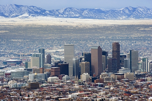
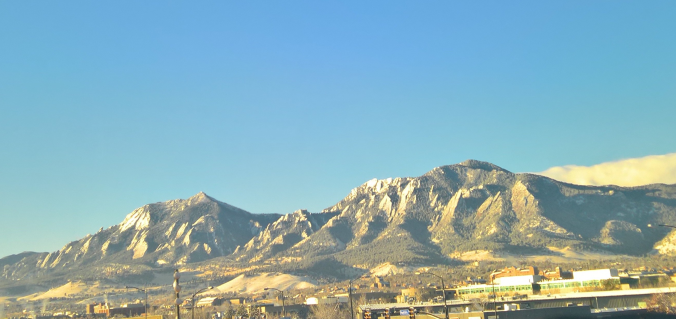
We examine last week’s winter storm and review the snow totals and temperatures. Where does this leave us in relation to normal for the 2016-2017 winter season? Read on to find out.
Tag: weather (Page 18 of 31)
Look for BIG changes in the weather for the week ahead, with cold, snow, and windy conditions the story as Arctic air invades the state! The High Country is slated to see another round of snow, with the Plains also on track to get their chance by Tuesday evening. How much can we expect and how cold will it get? Read on for our full weekly outlook.
With another month behind us, we once again have to talk about record warmth and continued drought for the Front Range. Is the weather pattern finally set to change as we begin the month of December? Read on as we examine Boulder’s climatology and consider the current state of the atmosphere to give our outlook for the next month. We also touch on the potential for a snowstorm next week.
The Mountains are finally beginning to actually accumulate snow! With an active weather pattern on tap for the week ahead, we’ll see this trend continue. For the lower elevations, we’re expecting downslope to greatly limit any chances of precipitation this week, but several surges of cold air will keep our temperatures quite chilly. Finally, we’re tracking a weak system for Friday that could bring some light snow to the lower elevations as well. Read on for our complete outlook of the upcoming week. Continue reading
A nice warm-up occurred over the weekend following our first snow late last week. The forecast for Thanksgiving week will feature a series of low pressure systems tracking from west to east across Colorado, leading to a moderate dumping of snowfall in the High Country…great news for all you skiers! As for the Plains, our weather trends back to cooler conditions with a chance of snow tonight and on Thanksgiving. Continue reading for our complete weekly outlook.
We recap the storm that dumped our desperately-needed inaugural snow of the season, and announce the winners of our “First Snow” Contest!
It has been a dismal start to the snow season for the mountains and ski resorts. However, there is good news on the horizon as a strong low pressure system moves in tomorrow with several locales in the High Country seeing snowfall. How much? Will it be enough for a powder day? Read on for our first PowderCAST forecast of the season.
With our last measurable precipitation occurring nearly four weeks ago, enough is enough. After enduring a few days of near-record heat to start the week, our focus will shift to a potent storm system approaching Colorado on Thursday. Though uncertainty remains elevated, the Plains do have a chance of seeing their first accumulating snowfall of the 2016-17 season. Read on for all the details.
© 2025 Front Range Weather, LLC


