This week we discuss the arrival of the summer monsoon which will facilitate some of the best chances of rain we have seen in weeks.
Tag: weather (Page 13 of 31)
It’s hard to believe that the first week of July is already upon us. Soon we will be talking about the arrival of the summer monsoon. For now though, heat will be the story much of this week, with a few if any storms to speak of. We also discuss the forecast for the Fourth of July holiday and the possibility of 90’s lingering longer than anyone wants. Read on for the details.
The last Wednesday in June has arrived, the day when thousands of hard-working citizens take to the bike paths for their morning and evening commutes. Yes, it’s Bike to Work Day 2017 tomorrow! Five out of the last ten Bike to Work Days have seen measurable precipitation in Boulder. How does tomorrow’s forecast look for the Metro area? Read on to find out if the bikers will be getting wet this year….
While our forecast for the week ahead contains the chance of rain each and every day, we do believe that many locations won’t see a drop of rain at all this week. The roller-coaster ride of temperatures is the bigger story here.
Our weather this week will be typical for mid-June. The initial focus will be the threat of severe thunderstorms Monday afternoon and evening, with tornadoes a viable concern. This will be followed by sunny and warm weather the rest of the week. High Country conditions will be exceptional this week, too.
This week’s weather will fail to outdo last week’s historic snow storm, but nonetheless the pattern remains active across Colorado. The week starts off with a cold frontal passage Monday evening, followed by at least one nice day under the influence of high pressure. Storm activity under southwest flow returns towards the end of the week, though. We also cover the forecast for the upcoming holiday weekend and the BolderBoulder. Continue reading for the details.
We provide an updated forecast for the powerful spring storm currently impacting the region. Slightly colder temperatures have bumped up our snowfall forecasts in some locations. Read on for details.
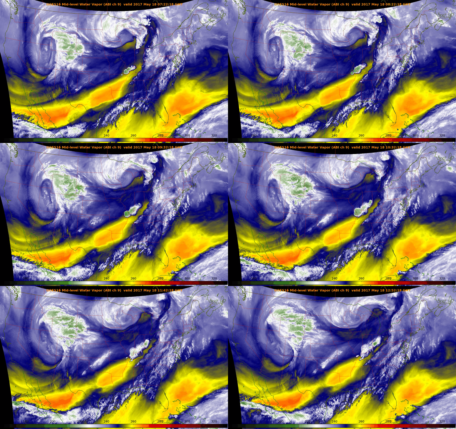
The next few days will solidify the rest of the country’s belief that our weather here is pure insanity. We provide an update on what is shaping-up to be an historic late-season winter storm for the Front Range Foothills. The potential for accumulating snow across the lower elevations is much more uncertain at this time. Read on for the latest details…
© 2025 Front Range Weather, LLC


You must be logged in to post a comment.