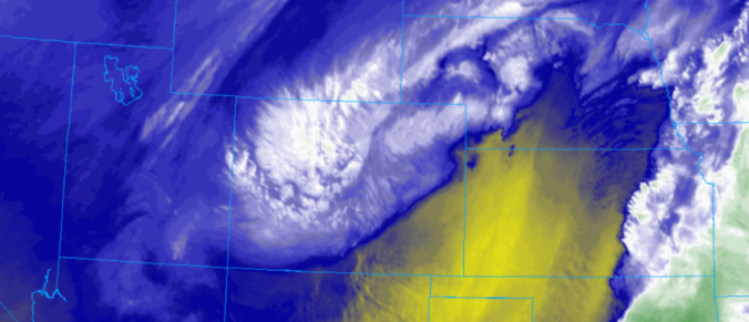
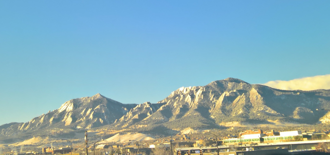
This week’s storm produced a hefty amount of precipitation to the entire Front Range. We provide a recap of the storm’s rain and snow, and also discuss a major pattern shift set to impact the western United States soon.
Tag: recap
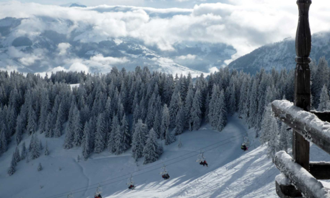
Beginning last Friday, snowfall has been falling intermittently across the Mountains of Colorado resulting from several shortwaves and pockets of moisture hanging out in the northwest flow. The most recent pulse which occurred from Monday morning into Tuesday afternoon generated snow totals of 7 to 15″ across much of the High Country. For the first time this winter, skiing was actually decent on Tuesday! Despite this, snowpack remains disconcertingly low statewide. We check-in on the status of our snowpack and provide our thoughts on another system eyeing the Front Range this weekend.
We discuss the light snow that fell Tuesday across the region and when we may see our next.
From summer to winter in the blink of an eye! There has been quite the weather transition in the last 48 hours. We review yesterday’s snowfall and give some insight into when we may see our next.
© 2026 Front Range Weather, LLC


