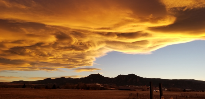
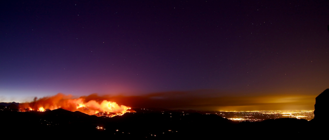
Even with thick high-level clouds overhead, yesterday saw “Fair” weather conditions reported across the Metro area, but what does this actually mean? As it turns out, “Fair” weather can signify a lot of things, with one critical caveat.
Tag: meteorology (Page 1 of 12)
Our weather turned quite warm to end the week, with Friday, Saturday and Sunday well above average in the 80’s across much of the Metro area. Unfortunately, this week will see a gradual drop in temperatures all thanks to a large cut-off low pressure system churning slowly across the Desert Southwest. It also looks to be a wet week overall, especially Tuesday and Wednesday. All the details can be found in our week ahead outlook, so read on…
Happy First of May! Last week’s wintry weather will indeed be a tough act to follow. The week ahead will be quieter for sure, but the threat of rain and higher elevation snow is still a concern. We also see 80-degree temperatures and a stellar weekend on the horizon. Read on for our complete forecast of the upcoming week.
After a gorgeous weekend with sunny skies, the weather turns more active this week with a series of storm systems moving through, along with a general trend of colder weather each successive day. This is all thanks to the jet stream meandering southward. Read on for our weekly outlook, including whether we may see snowfall on the Plains late in the week…
After an extended period of meteorological tranquility, unsettled weather returns this week as a couple of systems are projected to impact the region. We discuss warm temperatures, windy conditions, and a late-week spring storm that bares watching for widespread rain and snow. Read on for all the details in our weekly outlook.
After experiencing near-record snowfall last winter with a historically strong El Niño in place, the better part of the last year has seen below normal precipitation across most of eastern Colorado. Drought has continued to expand and intensify through the winter season. However, a fruitful pattern shift is ahead, beginning with our first spring storm of the year! Continue reading as as we provide an update on the drought and our thoughts on the upcoming storm.
This weekend began cloudy and chilly with light drizzle on Saturday, but turned sunny and windy with west-northwest winds at times exceeding 50 mph on Sunday. And to top it off, we lost sleep with daylight savings! The main story for the week ahead is warmer weather…with the first day of Spring just a week away, this week will fit the part. However, a few subtle hints in the pattern means we will have to be concerned with some high winds to start. Read on for our full weekly outlook.
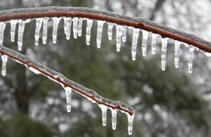
Yesterday saw a mix of wintry precipitation fall across the Denver Metro area. Snow pellets and snowflakes were observed in spots, but closer to the Foothills near Boulder, freezing drizzle produced a dangerous glaze of ice that was responsible for numerous car accidents (and probably many pedestrian slips and falls). We explain the rare weather set-up the led to the somewhat unexpected occurrence of ice in Boulder.
© 2026 Front Range Weather, LLC


