Tag: hurricane
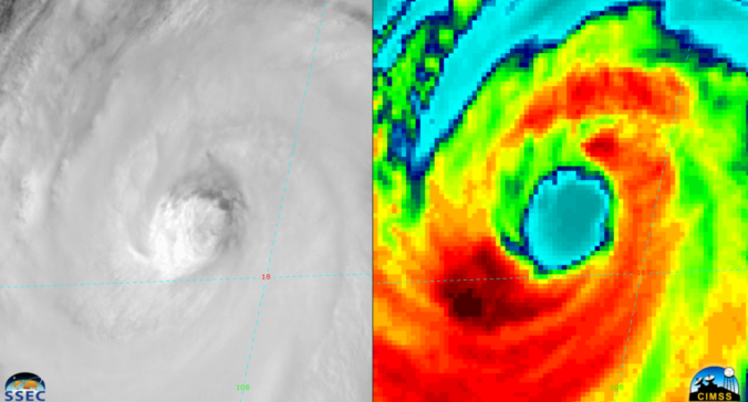
A recap of yesterday’s hailstorms, a discussion of today’s forecast which contains more hail, and a look at the eye of Category 4 Hurricane Bud from GOES-16.
A favorable atmospheric set-up will help to funnel the remnants of Hurricane Bud, currently churning off the coast of western Mexico, into Colorado over the upcoming weekend. We discuss the impacts this will have for the Front Range and the rest of the state.
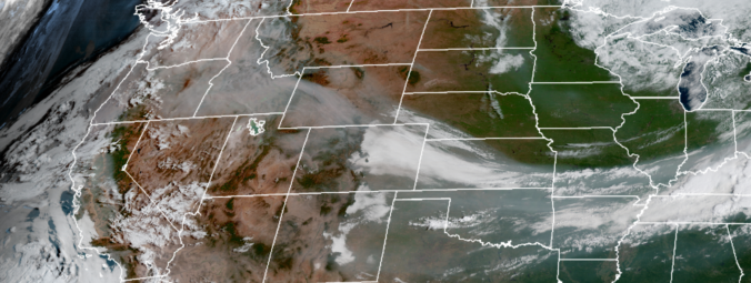
The week ahead starts off feeling like autumn thanks to yesterday’s cold frontal passage. We are rather quiet for the most part with only a slight chance of storms late in the week as temperatures moderate back into the 80’s. More details can be found within, including when we expect the wildfire smoke to exit the region.
We also provide thoughts on Category 5 Hurricane Irma which could be making landfall in Florida this weekend.
The week ahead will be generally quiet across Colorado’s Front Range with large scale ridging in place and the window for monsoon moisture quickly waning. Read on to find out which day we think offers the best chance of rain.
We also provide thoughts on the recent landfall of Category 4 Hurricane Harvey in Texas.
© 2026 Front Range Weather, LLC


